
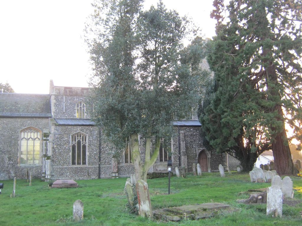
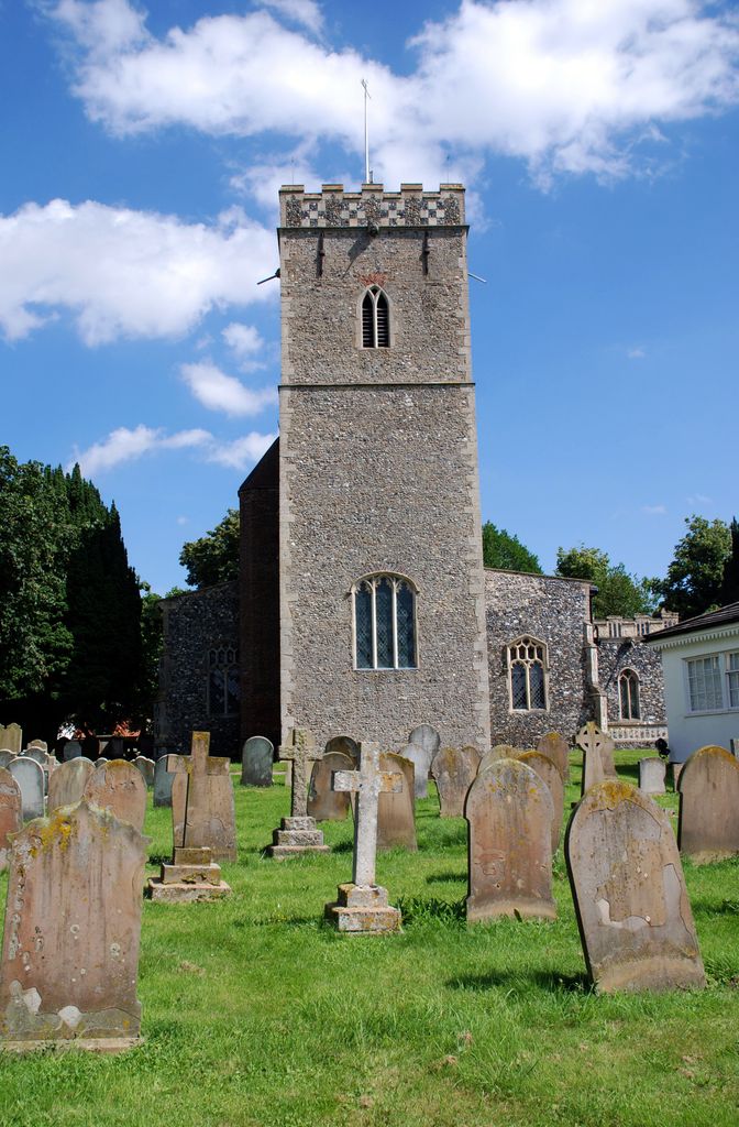
| Memorials | : | 28 |
| Location | : | Dickleburgh and Rushall, South Norfolk District, England |
| Coordinate | : | 52.3968580, 1.1848010 |
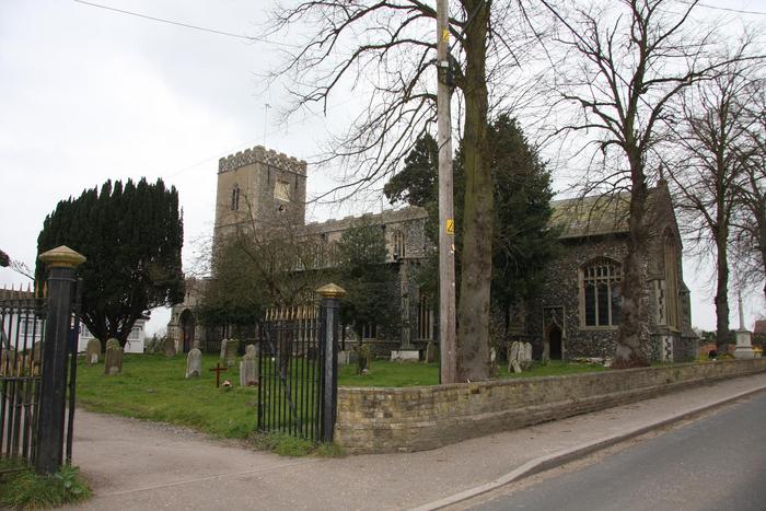
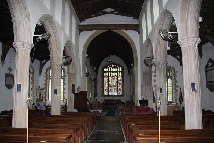
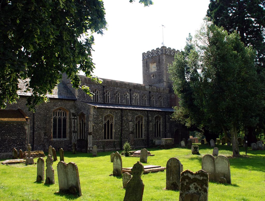
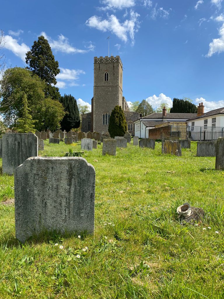
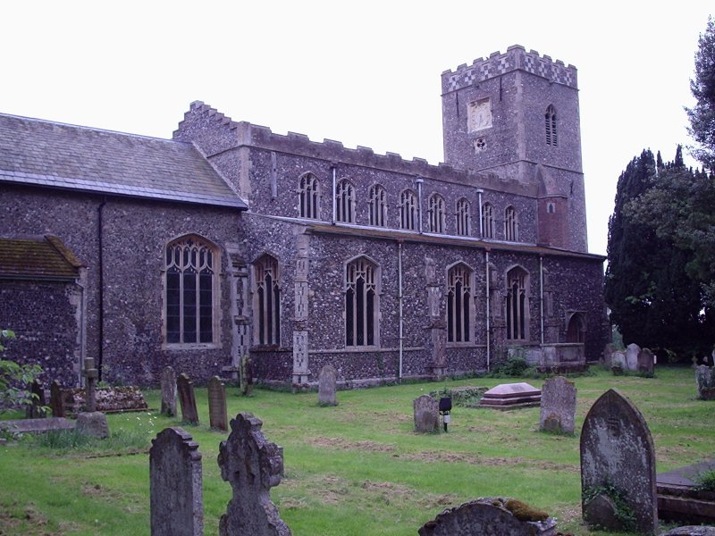
| Description | : | The quiet village of Dickleburgh is located 6 miles from Diss in the heart of the beautiful Norfolk countryside. It is near to Bressingham Steam and Gardens, and close to the A140. Dickleburgh All Saints, is an elegant church with a magnificent porch. |
frequently asked questions (FAQ):
-
Where is All Saints Churchyard?
All Saints Churchyard is located at The Street Dickleburgh and Rushall, South Norfolk District ,Norfolk , IP21 4NQEngland.
-
All Saints Churchyard cemetery's updated grave count on graveviews.com?
27 memorials
-
Where are the coordinates of the All Saints Churchyard?
Latitude: 52.3968580
Longitude: 1.1848010
Nearby Cemetories:
1. St. George's Churchyard
Shimpling, Babergh District, England
Coordinate: 52.3994010, 1.1680910
2. Saint George Churchyard
Shimpling, South Norfolk District, England
Coordinate: 52.3993000, 1.1680000
3. St Mary Churchyard
Dickleburgh and Rushall, South Norfolk District, England
Coordinate: 52.3978750, 1.2290680
4. Saint Mary the Virgin Churchyard
Burston, South Norfolk District, England
Coordinate: 52.4049300, 1.1402600
5. St Leonard Churchyard
Billingford, South Norfolk District, England
Coordinate: 52.3666290, 1.1834260
6. Saint Mary Churchyard
Gissing, South Norfolk District, England
Coordinate: 52.4235630, 1.1548260
7. Saint Andrew Churchyard
Scole, South Norfolk District, England
Coordinate: 52.3671670, 1.1579150
8. St Andrew's Frenze Church
Scole, South Norfolk District, England
Coordinate: 52.3802000, 1.1361000
9. St. Peter and St. Paul Churchyard
Brockdish, South Norfolk District, England
Coordinate: 52.3705240, 1.2366100
10. Pulham Market Cemetery
Pulham Market, South Norfolk District, England
Coordinate: 52.4281900, 1.2297700
11. Saint Mary Magdalene Churchyard
Pulham Market, South Norfolk District, England
Coordinate: 52.4285200, 1.2301100
12. St. Margaret's Churchyard
Syleham, Mid Suffolk District, England
Coordinate: 52.3641870, 1.2372060
13. Saint Peter and St. Paul Churchyard
Hoxne, Mid Suffolk District, England
Coordinate: 52.3522270, 1.2016300
14. St. Nicholas Churchyard
Oakley, Mid Suffolk District, England
Coordinate: 52.3518380, 1.1662190
15. Diss Cemetery
Diss, South Norfolk District, England
Coordinate: 52.3839060, 1.1115880
16. St Mary the Virgin Churchyard
Pulham St Mary, South Norfolk District, England
Coordinate: 52.4205290, 1.2520380
17. Saint Mary Churchyard
Diss, South Norfolk District, England
Coordinate: 52.3772370, 1.1097880
18. Diss War Memorial
Diss, South Norfolk District, England
Coordinate: 52.3773380, 1.1088530
19. All Saints Churchyard
Stuston, Mid Suffolk District, England
Coordinate: 52.3571980, 1.1332590
20. Croft Lane Baptist Church Burial Ground
Diss, South Norfolk District, England
Coordinate: 52.3771070, 1.1025490
21. Unitarian Chapel Cemetery
Palgrave, Mid Suffolk District, England
Coordinate: 52.3693130, 1.1086820
22. All Saints Churchyard
Shelfanger, South Norfolk District, England
Coordinate: 52.4104780, 1.0969230
23. St Peter Churchyard
Needham, South Norfolk District, England
Coordinate: 52.3896320, 1.2773700
24. St. Mary's Churchyard
Brome, Mid Suffolk District, England
Coordinate: 52.3443800, 1.1475990