
| Memorials | : | 1 |
| Location | : | Burston, South Norfolk District, England |
| Coordinate | : | 52.4049300, 1.1402600 |
frequently asked questions (FAQ):
-
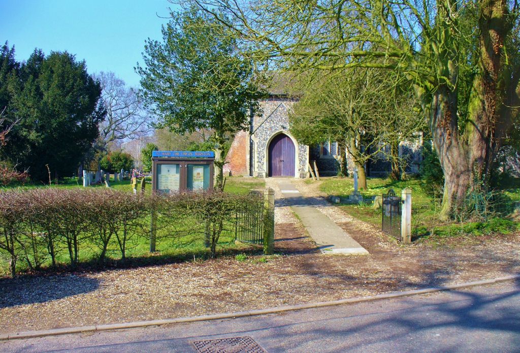
Where is Saint Mary the Virgin Churchyard?
Saint Mary the Virgin Churchyard is located at Diss Road Burston, South Norfolk District ,Norfolk , IP22 5TPEngland.
-
Saint Mary the Virgin Churchyard cemetery's updated grave count on graveviews.com?
1 memorials
-
Where are the coordinates of the Saint Mary the Virgin Churchyard?
Latitude: 52.4049300
Longitude: 1.1402600
Nearby Cemetories:
1. Saint George Churchyard
Shimpling, South Norfolk District, England
Coordinate: 52.3993000, 1.1680000
2. St. George's Churchyard
Shimpling, Babergh District, England
Coordinate: 52.3994010, 1.1680910
3. Saint Mary Churchyard
Gissing, South Norfolk District, England
Coordinate: 52.4235630, 1.1548260
4. St Andrew's Frenze Church
Scole, South Norfolk District, England
Coordinate: 52.3802000, 1.1361000
5. All Saints Churchyard
Shelfanger, South Norfolk District, England
Coordinate: 52.4104780, 1.0969230
6. Diss Cemetery
Diss, South Norfolk District, England
Coordinate: 52.3839060, 1.1115880
7. All Saints Churchyard
Dickleburgh and Rushall, South Norfolk District, England
Coordinate: 52.3968580, 1.1848010
8. Saint Mary Churchyard
Diss, South Norfolk District, England
Coordinate: 52.3772370, 1.1097880
9. Diss War Memorial
Diss, South Norfolk District, England
Coordinate: 52.3773380, 1.1088530
10. Croft Lane Baptist Church Burial Ground
Diss, South Norfolk District, England
Coordinate: 52.3771070, 1.1025490
11. Saint Andrew Churchyard
Scole, South Norfolk District, England
Coordinate: 52.3671670, 1.1579150
12. Unitarian Chapel Cemetery
Palgrave, Mid Suffolk District, England
Coordinate: 52.3693130, 1.1086820
13. St. Remigius Churchyard
Roydon, South Norfolk District, England
Coordinate: 52.3815610, 1.0784680
14. St Leonard Churchyard
Billingford, South Norfolk District, England
Coordinate: 52.3666290, 1.1834260
15. St Peter Churchyard
Palgrave, Mid Suffolk District, England
Coordinate: 52.3634190, 1.1059170
16. All Saints Churchyard
Stuston, Mid Suffolk District, England
Coordinate: 52.3571980, 1.1332590
17. St Mary Churchyard
Dickleburgh and Rushall, South Norfolk District, England
Coordinate: 52.3978750, 1.2290680
18. St. Nicholas Churchyard
Oakley, Mid Suffolk District, England
Coordinate: 52.3518380, 1.1662190
19. St. John the Baptist Churchyard
Bressingham, South Norfolk District, England
Coordinate: 52.3853850, 1.0489290
20. Bressingham Cemetery
Bressingham, South Norfolk District, England
Coordinate: 52.3854520, 1.0486290
21. Pulham Market Cemetery
Pulham Market, South Norfolk District, England
Coordinate: 52.4281900, 1.2297700
22. Saint Mary Magdalene Churchyard
Pulham Market, South Norfolk District, England
Coordinate: 52.4285200, 1.2301100
23. St. Mary's Churchyard
Brome, Mid Suffolk District, England
Coordinate: 52.3443800, 1.1475990
24. St Andrew Churchyard
Fersfield, South Norfolk District, England
Coordinate: 52.4043450, 1.0351310