
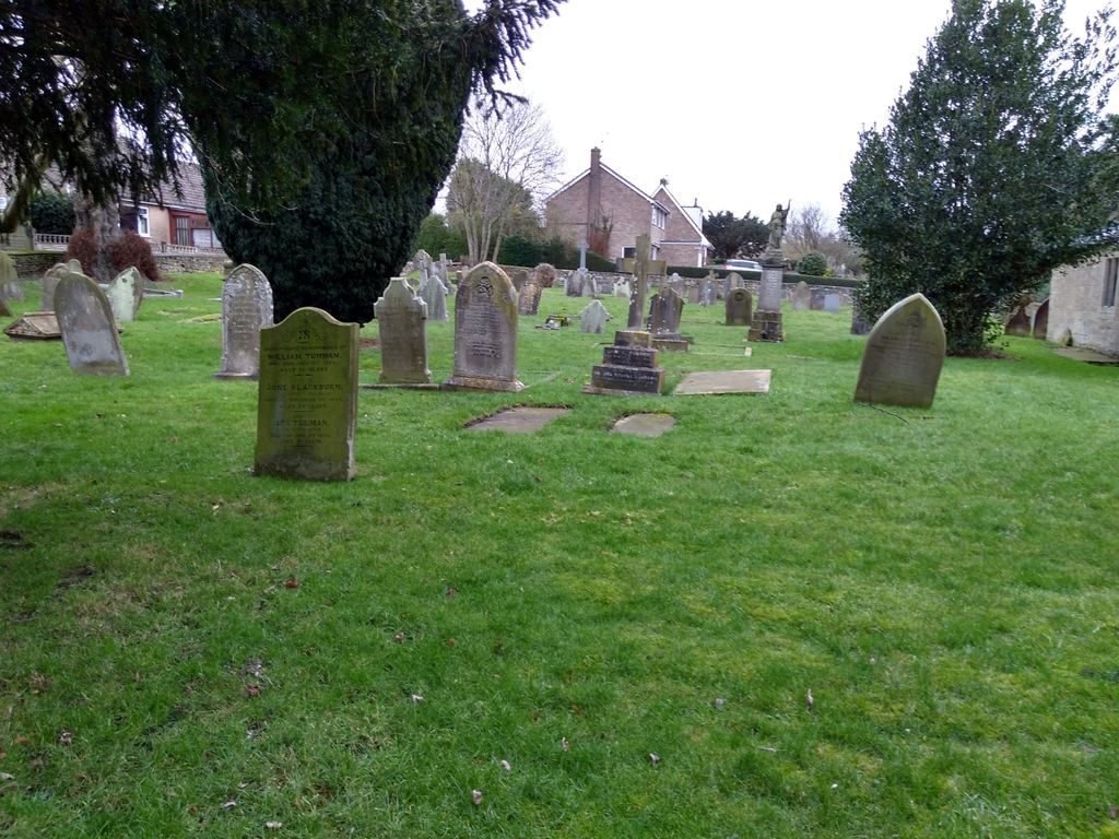
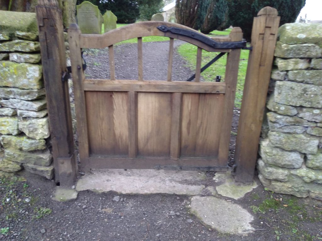
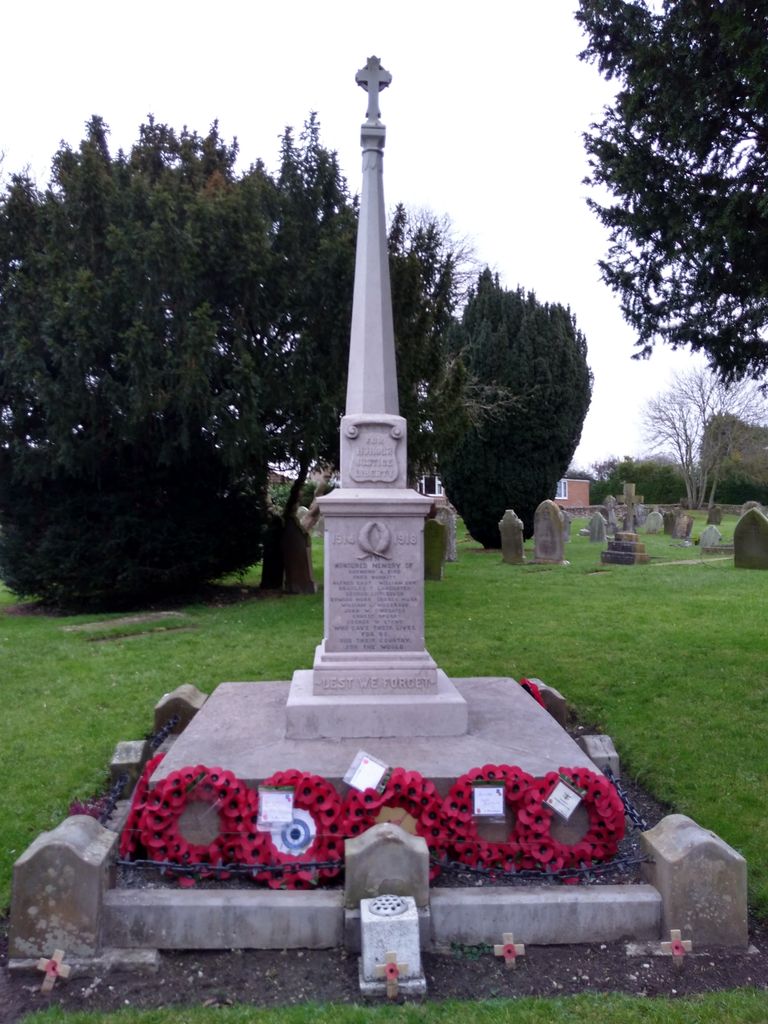
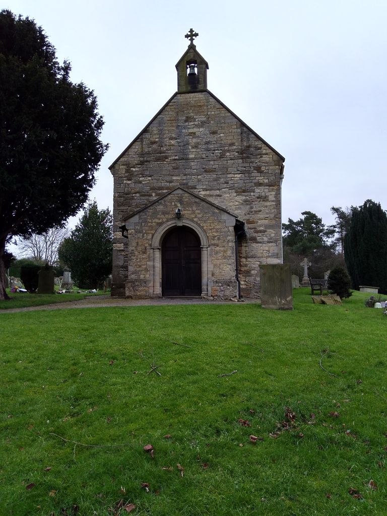
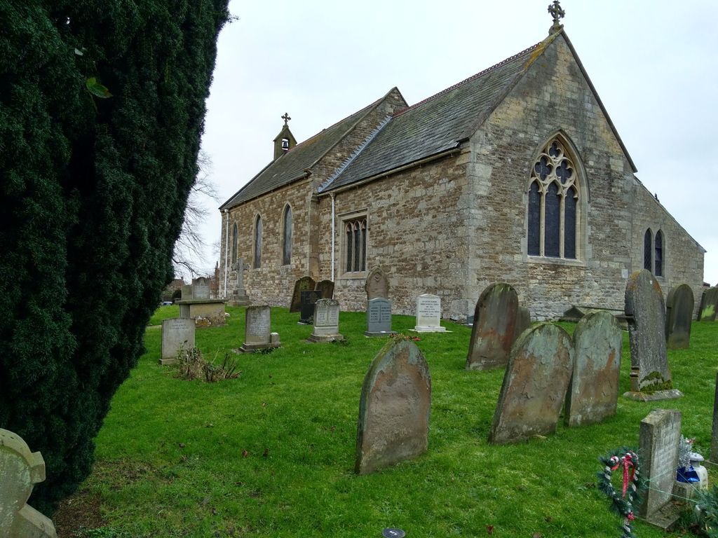
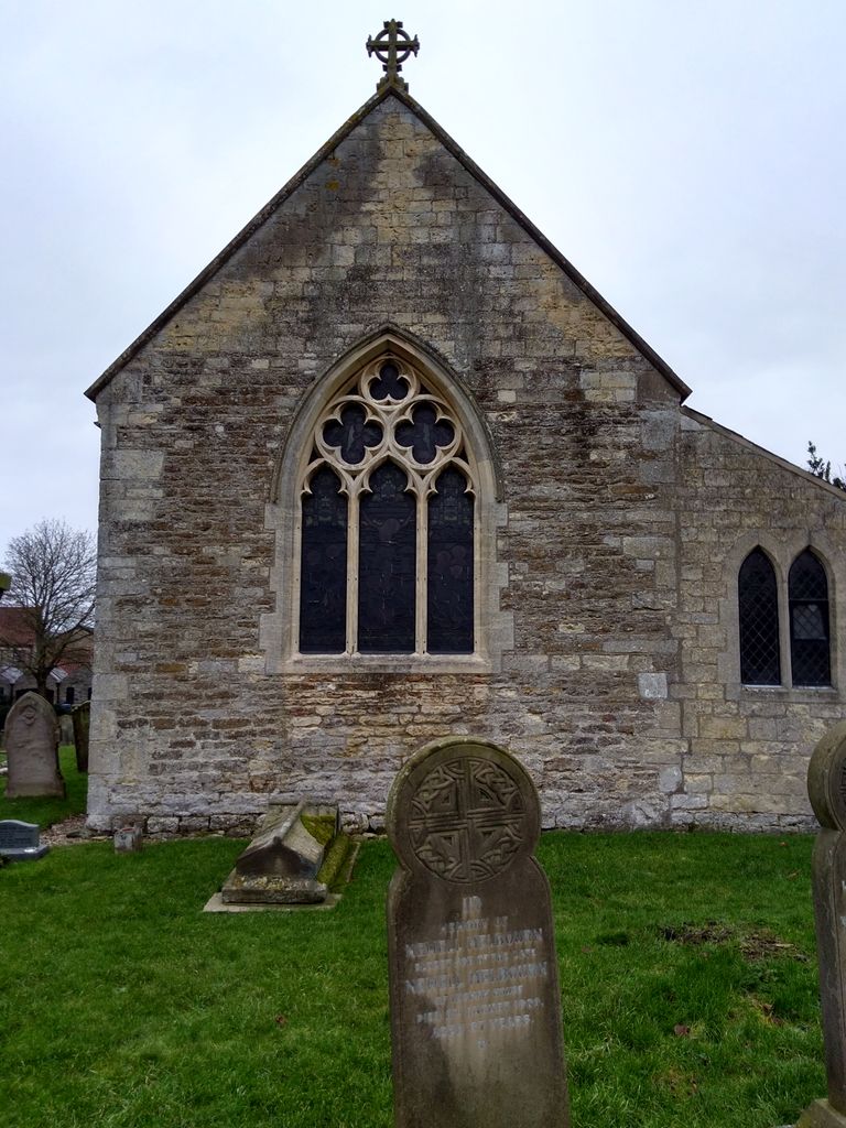
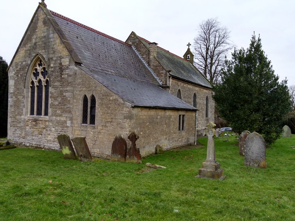
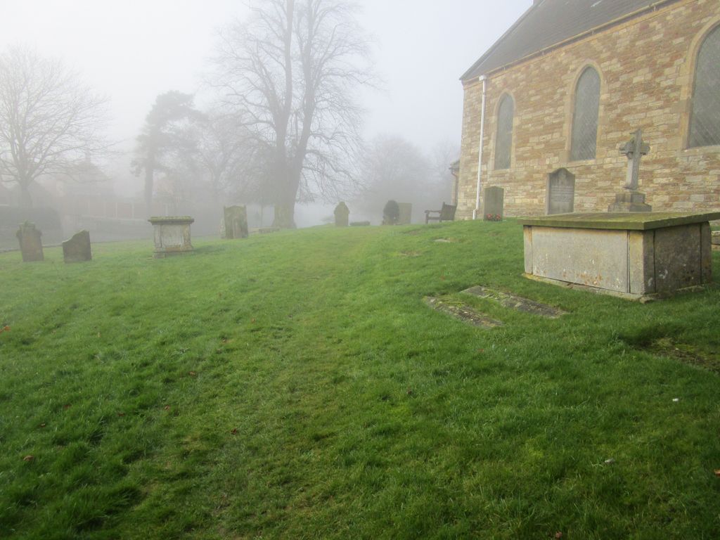
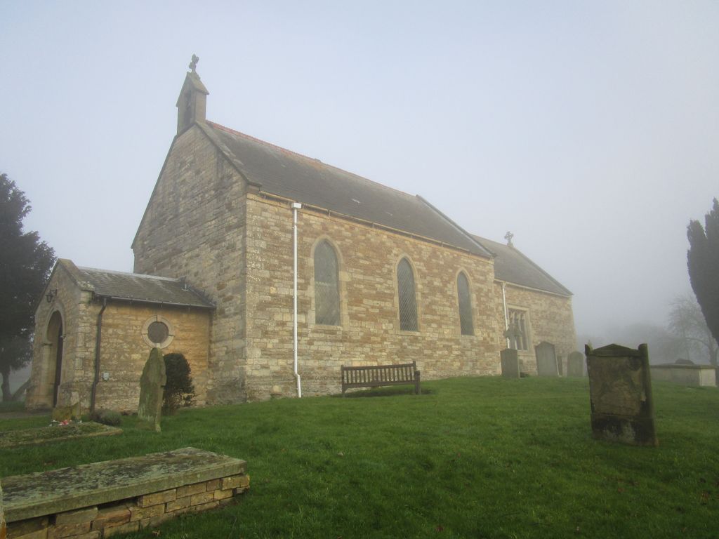
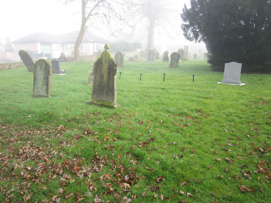
| Memorials | : | 41 |
| Location | : | Ingham, West Lindsey District, England |
| Coordinate | : | 53.3398690, -0.5745610 |
frequently asked questions (FAQ):
-
Where is All Saints Churchyard?
All Saints Churchyard is located at Ingham, West Lindsey District ,Lincolnshire ,England.
-
All Saints Churchyard cemetery's updated grave count on graveviews.com?
41 memorials
-
Where are the coordinates of the All Saints Churchyard?
Latitude: 53.3398690
Longitude: -0.5745610
Nearby Cemetories:
1. St. Michael's Churchyard
Cammeringham, West Lindsey District, England
Coordinate: 53.3275480, -0.5781450
2. St Cuthbert's Churchyard
Brattleby, West Lindsey District, England
Coordinate: 53.3156600, -0.5794750
3. St Peter's Churchyard
Aisthorpe, West Lindsey District, England
Coordinate: 53.3102400, -0.5815300
4. St. John the Baptist Churchyard
Scampton, West Lindsey District, England
Coordinate: 53.3037680, -0.5787140
5. St. Edith Churchyard
Coates-by-Stow, West Lindsey District, England
Coordinate: 53.3369700, -0.6377300
6. St Michael Churchyard
Hackthorn, West Lindsey District, England
Coordinate: 53.3288810, -0.5134350
7. St. Michael's Churchyard
Glentworth, West Lindsey District, England
Coordinate: 53.3813420, -0.5794550
8. Dam Busters Dog Memorial
Scampton, West Lindsey District, England
Coordinate: 53.3008200, -0.5495800
9. Glentworth Cemetery
Glentworth, West Lindsey District, England
Coordinate: 53.3823126, -0.5768907
10. St. Luke's Churchyard
North Carlton, West Lindsey District, England
Coordinate: 53.2873000, -0.5831200
11. St. Helen's Churchyard
Saxby, West Lindsey District, England
Coordinate: 53.3625100, -0.4920400
12. St. Peter & Paul Churchyard
Owmby-by-Spital, West Lindsey District, England
Coordinate: 53.3735080, -0.4981220
13. Sturton by Stow Quaker Cemetery
Sturton-by-Stow, West Lindsey District, England
Coordinate: 53.3173590, -0.6644260
14. Owmby-Normanby Cemetery
Owmby-by-Spital, West Lindsey District, England
Coordinate: 53.3770850, -0.4992190
15. Sturton by Stow
Sturton-by-Stow, West Lindsey District, England
Coordinate: 53.3192800, -0.6677000
16. St. Chad's Churchyard
Harpswell, West Lindsey District, England
Coordinate: 53.3981300, -0.5943000
17. All Saints Churchyard
Broxholme, West Lindsey District, England
Coordinate: 53.2922400, -0.6349600
18. St. John the Baptist Churchyard
South Carlton, West Lindsey District, England
Coordinate: 53.2785000, -0.5754000
19. St. Peter's Churchyard
Normanby by Spital, West Lindsey District, England
Coordinate: 53.3802120, -0.4963050
20. Stow Cemetery
Stow, West Lindsey District, England
Coordinate: 53.3252100, -0.6811100
21. St Nicholas Churchyard
Caenby, West Lindsey District, England
Coordinate: 53.3910500, -0.4976100
22. All Saints Churchyard
Hemswell, West Lindsey District, England
Coordinate: 53.4069400, -0.6016800
23. All Saints Churchyard
Cold Hanworth, West Lindsey District, England
Coordinate: 53.3357700, -0.4471700
24. St. Chad Churchyard
Dunholme, West Lindsey District, England
Coordinate: 53.3018330, -0.4638100