
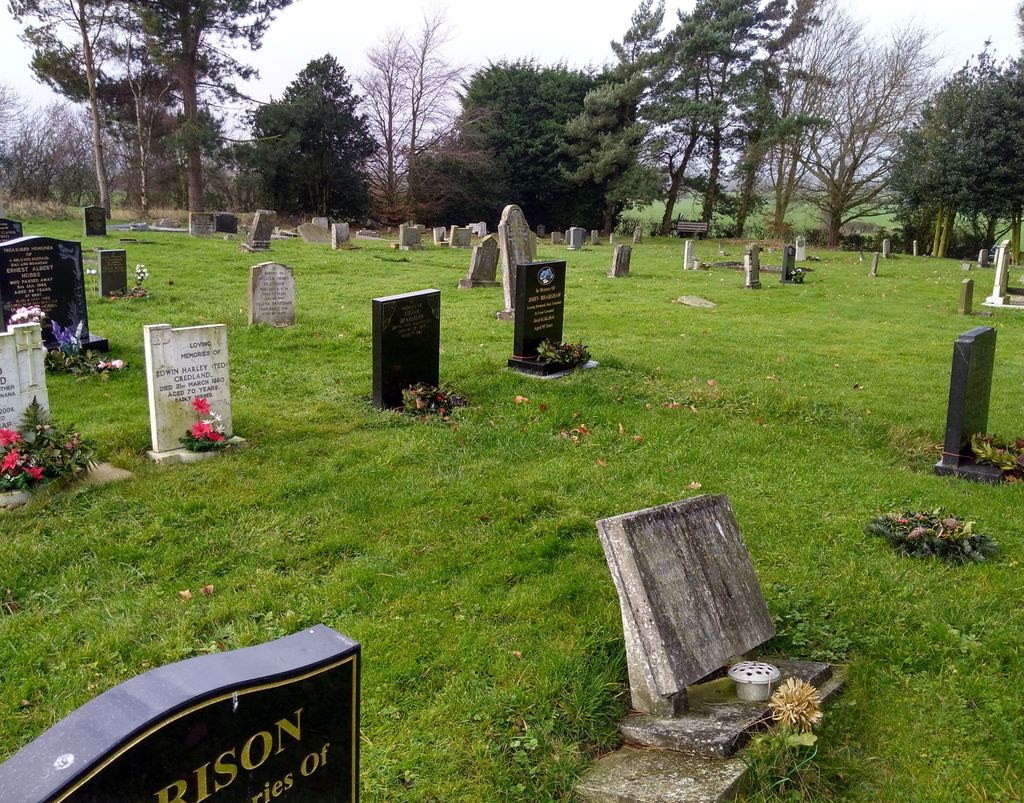
| Memorials | : | 10 |
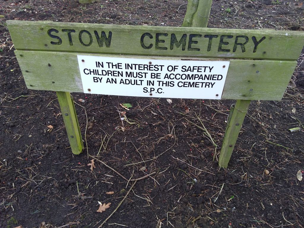
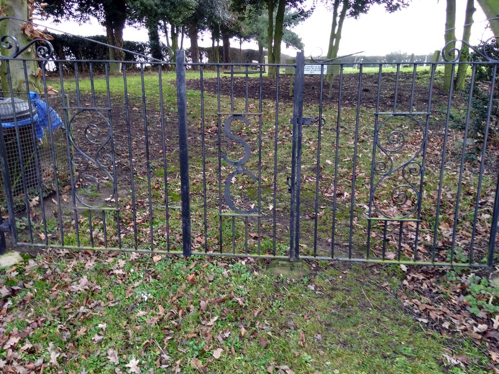
| Location | : | Stow, West Lindsey District, England |
| Coordinate | : | 53.3252100, -0.6811100 |
frequently asked questions (FAQ):
-
Where is Stow Cemetery?
Stow Cemetery is located at Stow Park Road Stow, West Lindsey District ,Lincolnshire ,England.
-
Stow Cemetery cemetery's updated grave count on graveviews.com?
9 memorials
-
Where are the coordinates of the Stow Cemetery?
Latitude: 53.3252100
Longitude: -0.6811100
Nearby Cemetories:
1. Sturton by Stow
Sturton-by-Stow, West Lindsey District, England
Coordinate: 53.3192800, -0.6677000
2. Sturton by Stow Quaker Cemetery
Sturton-by-Stow, West Lindsey District, England
Coordinate: 53.3173590, -0.6644260
3. St. Edith Churchyard
Coates-by-Stow, West Lindsey District, England
Coordinate: 53.3369700, -0.6377300
4. Saint Margaret of Antioch Churchyard
Marton, West Lindsey District, England
Coordinate: 53.3260600, -0.7406500
5. St. Helen's Churchyard
Gate Burton, West Lindsey District, England
Coordinate: 53.3364060, -0.7420920
6. Marton Cemetery
Marton, West Lindsey District, England
Coordinate: 53.3251500, -0.7468200
7. All Saints Churchyard
Broxholme, West Lindsey District, England
Coordinate: 53.2922400, -0.6349600
8. St. Nicholas Churchyard
Littleborough, Bassetlaw District, England
Coordinate: 53.3339600, -0.7632600
9. Saxilby Cemetery
Saxilby, West Lindsey District, England
Coordinate: 53.2755800, -0.6590400
10. St. Botolph Churchyard
Saxilby, West Lindsey District, England
Coordinate: 53.2747300, -0.6591000
11. St. Mary's Churchyard
Knaith, West Lindsey District, England
Coordinate: 53.3520400, -0.7577000
12. Holy Trinity Churchyard
Cottam, Bassetlaw District, England
Coordinate: 53.3112500, -0.7732600
13. Lea Fields Crematorium
Gainsborough, West Lindsey District, England
Coordinate: 53.3627763, -0.7528780
14. All Saints Churchyard
Heapham, West Lindsey District, England
Coordinate: 53.3861890, -0.6817980
15. Saint Peter And Saint Paul Churchyard
Kettlethorpe, West Lindsey District, England
Coordinate: 53.2714805, -0.7298717
16. St Peter's Churchyard
Aisthorpe, West Lindsey District, England
Coordinate: 53.3102400, -0.5815300
17. St Cuthbert's Churchyard
Brattleby, West Lindsey District, England
Coordinate: 53.3156600, -0.5794750
18. St. Michael's Churchyard
Cammeringham, West Lindsey District, England
Coordinate: 53.3275480, -0.5781450
19. Saint Helens Churchyard
Lea, West Lindsey District, England
Coordinate: 53.3704000, -0.7528100
20. St. John the Baptist Churchyard
Scampton, West Lindsey District, England
Coordinate: 53.3037680, -0.5787140
21. All Saints Churchyard
Ingham, West Lindsey District, England
Coordinate: 53.3398690, -0.5745610
22. St. Luke's Churchyard
North Carlton, West Lindsey District, England
Coordinate: 53.2873000, -0.5831200
23. All Saints Churchyard
Rampton, Bassetlaw District, England
Coordinate: 53.2984394, -0.8019018
24. St. Peter's Churchyard
Newton on Trent, West Lindsey District, England
Coordinate: 53.2601290, -0.7528380