
| Memorials | : | 33 |
| Location | : | Harpswell, West Lindsey District, England |
| Coordinate | : | 53.3981300, -0.5943000 |
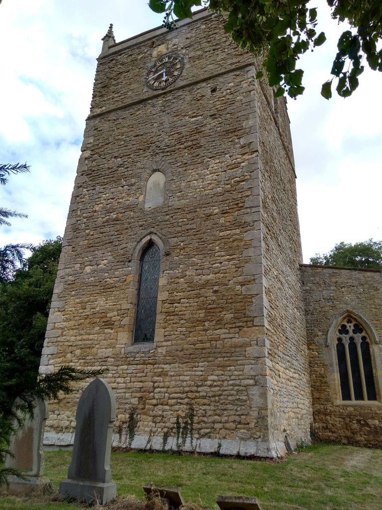
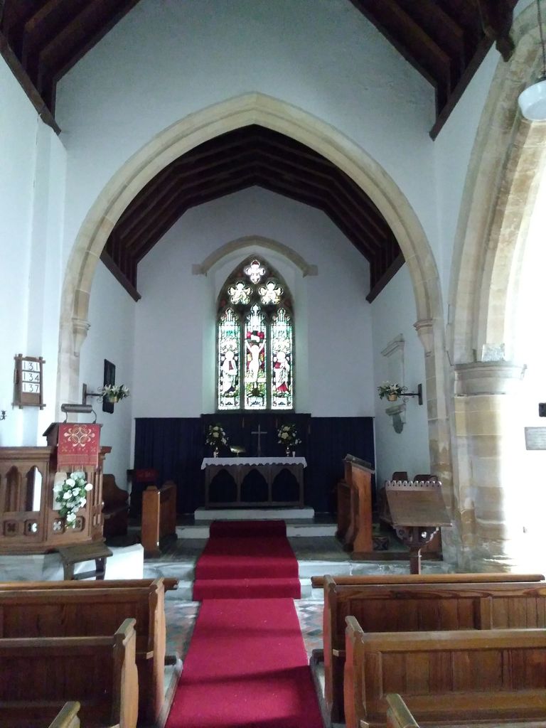
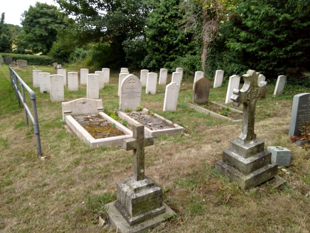
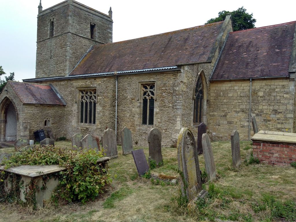
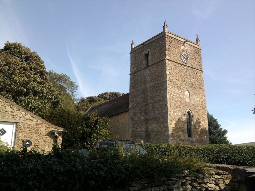
| Description | : | Harpswell is a village and civil parish in the West Lindsey district of Lincolnshire, England. It is situated just west off the junction of the A631 and B1398, and 12 miles north from the city and county town of Lincoln.It is two miles west of the A15 along the A631 towards Gainsborough, and the churchyard is south of this main road. The parish church of St Chad's has an Saxon tower and was restored around 1890.It is a Grade I listed building. The churchyard contains the graves of 20 casualties from the 1939-45 war, of whom all except one served... Read More |
frequently asked questions (FAQ):
-
Where is St. Chad's Churchyard?
St. Chad's Churchyard is located at Harpswell, West Lindsey District ,Lincolnshire ,England.
-
St. Chad's Churchyard cemetery's updated grave count on graveviews.com?
33 memorials
-
Where are the coordinates of the St. Chad's Churchyard?
Latitude: 53.3981300
Longitude: -0.5943000
Nearby Cemetories:
1. All Saints Churchyard
Hemswell, West Lindsey District, England
Coordinate: 53.4069400, -0.6016800
2. Glentworth Cemetery
Glentworth, West Lindsey District, England
Coordinate: 53.3823126, -0.5768907
3. St. Michael's Churchyard
Glentworth, West Lindsey District, England
Coordinate: 53.3813420, -0.5794550
4. St. Alkmund Churchyard
Blyborough, West Lindsey District, England
Coordinate: 53.4394960, -0.5954560
5. St. Peter's Churchyard
Bishop Norton, West Lindsey District, England
Coordinate: 53.4218220, -0.5210460
6. All Saints Churchyard
Heapham, West Lindsey District, England
Coordinate: 53.3861890, -0.6817980
7. Saint Radegund Churchyard
Grayingham, West Lindsey District, England
Coordinate: 53.4538900, -0.5924900
8. St Nicholas Churchyard
Caenby, West Lindsey District, England
Coordinate: 53.3910500, -0.4976100
9. All Saints Churchyard
Ingham, West Lindsey District, England
Coordinate: 53.3398690, -0.5745610
10. Owmby-Normanby Cemetery
Owmby-by-Spital, West Lindsey District, England
Coordinate: 53.3770850, -0.4992190
11. St. Peter's Churchyard
Glentham, West Lindsey District, England
Coordinate: 53.4014270, -0.4927420
12. St. Peter's Churchyard
Normanby by Spital, West Lindsey District, England
Coordinate: 53.3802120, -0.4963050
13. St. Nicholas' Churchyard
Snitterby, West Lindsey District, England
Coordinate: 53.4398400, -0.5173400
14. St. Peter & Paul Churchyard
Owmby-by-Spital, West Lindsey District, England
Coordinate: 53.3735080, -0.4981220
15. St. Edith Churchyard
Coates-by-Stow, West Lindsey District, England
Coordinate: 53.3369700, -0.6377300
16. St. Helen's Churchyard
Saxby, West Lindsey District, England
Coordinate: 53.3625100, -0.4920400
17. St. Michael's Churchyard
Cammeringham, West Lindsey District, England
Coordinate: 53.3275480, -0.5781450
18. All Saints Churchyard
Pilham, West Lindsey District, England
Coordinate: 53.4339200, -0.7034700
19. St. John's Churchyard
Gainsborough, West Lindsey District, England
Coordinate: 53.4635280, -0.6538310
20. St Andrews Church
Kirton in Lindsey, North Lincolnshire Unitary Authority, England
Coordinate: 53.4755000, -0.5940000
21. Kirton-in-Lindsey Cemetery
Kirton in Lindsey, North Lincolnshire Unitary Authority, England
Coordinate: 53.4765050, -0.5963870
22. St Cuthbert's Churchyard
Brattleby, West Lindsey District, England
Coordinate: 53.3156600, -0.5794750
23. St Michael Churchyard
Hackthorn, West Lindsey District, England
Coordinate: 53.3288810, -0.5134350
24. St. Martin de Tours Churchyard
Blyton, West Lindsey District, England
Coordinate: 53.4430280, -0.7169130