| Memorials | : | 24 |
| Location | : | Appleton Roebuck, Selby District, England |
| Coordinate | : | 53.8734600, -1.1580870 |
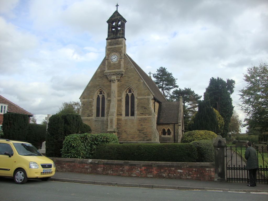
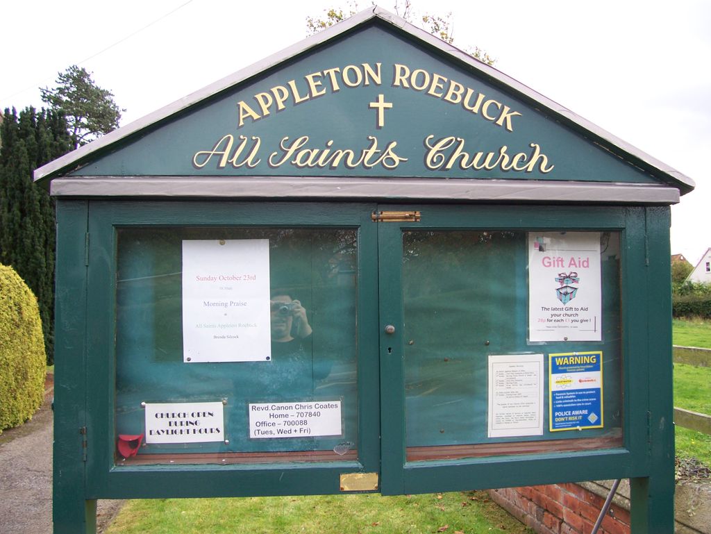
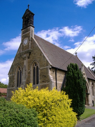
| Description | : | All Saints church was built in 1868, by JB & W Atkinson Appleton Roebuck derives its name from the Anglo-Saxon meaning a farm where apple trees grew and, from the fourteenth century, when it was owned by a man called Rabuk. Appleton Roebuck is mentioned in the Domesday Book demonstrating that it was already settled before the Norman Conquest. In the 12th century a nunnery was established at Nun Appleton, a short distance from the village. It was founded by Adeliza, or Alice de St. Quintin, in the reign of King Stephen. After the Dissolution of the Monasteries, the site was acquired... Read More |
frequently asked questions (FAQ):
-
Where is All Saints Churchyard?
All Saints Churchyard is located at Appleton Roebuck, Selby District ,North Yorkshire ,England.
-
All Saints Churchyard cemetery's updated grave count on graveviews.com?
24 memorials
-
Where are the coordinates of the All Saints Churchyard?
Latitude: 53.8734600
Longitude: -1.1580870
Nearby Cemetories:
1. Nun Appleton Priory
Appleton Roebuck, Selby District, England
Coordinate: 53.8525000, -1.1561110
2. St John Churchyard
Acaster Selby, Selby District, England
Coordinate: 53.8614750, -1.1283740
3. All Saints Churchyard
Bolton Percy, Selby District, England
Coordinate: 53.8649780, -1.1929000
4. All Saints Churchyard
Ryther, Selby District, England
Coordinate: 53.8478600, -1.1576100
5. St Paul Churchyard
Colton, Selby District, England
Coordinate: 53.8964660, -1.1773770
6. St Helen Churchyard
Stillingfleet, Selby District, England
Coordinate: 53.8618710, -1.0994760
7. Moor Lane Burial Ground
Copmanthorpe, York Unitary Authority, England
Coordinate: 53.9096890, -1.1449400
8. Rythergate Cemetery
Cawood, Selby District, England
Coordinate: 53.8356000, -1.1347700
9. St Giles Churchyard
Copmanthorpe, York Unitary Authority, England
Coordinate: 53.9149240, -1.1410420
10. St James Churchyard
Bilbrough, Selby District, England
Coordinate: 53.9119110, -1.1945130
11. St John the Baptist Churchyard
Kirkby Wharfe, Selby District, England
Coordinate: 53.8627400, -1.2320400
12. All Saints Churchyard
Cawood, Selby District, England
Coordinate: 53.8331970, -1.1235660
13. St John the Baptist Churchyard Extension
Kirkby Wharfe, Selby District, England
Coordinate: 53.8602100, -1.2321200
14. Holy Trinity Churchyard
Acaster Malbis, York Unitary Authority, England
Coordinate: 53.9052480, -1.0975170
15. St Matthew Churchyard
Naburn, York Unitary Authority, England
Coordinate: 53.9009520, -1.0899200
16. St Mary Churchyard
Askham Richard, York Unitary Authority, England
Coordinate: 53.9254100, -1.1836800
17. St Nicholas Churchyard
Askham Bryan, York Unitary Authority, England
Coordinate: 53.9294600, -1.1581240
18. St Mary the Virgin Churchyard
Church Fenton, Selby District, England
Coordinate: 53.8243100, -1.2203500
19. Dringhouses Cemetery
York, York Unitary Authority, England
Coordinate: 53.9297740, -1.1156780
20. St. Andrew's Old Churchyard
Bishopthorpe, York Unitary Authority, England
Coordinate: 53.9221490, -1.0929640
21. St Andrew Churchyard
Bishopthorpe, York Unitary Authority, England
Coordinate: 53.9236690, -1.0955320
22. St Mary the Virgin Churchyard
Tadcaster, Selby District, England
Coordinate: 53.8852300, -1.2624100
23. Inghamite Chapel
Tadcaster, Selby District, England
Coordinate: 53.8843580, -1.2644470
24. York Crematorium
York, York Unitary Authority, England
Coordinate: 53.9264970, -1.0936130


