
| Memorials | : | 0 |
| Location | : | Copmanthorpe, York Unitary Authority, England |
| Coordinate | : | 53.9096890, -1.1449400 |
frequently asked questions (FAQ):
-
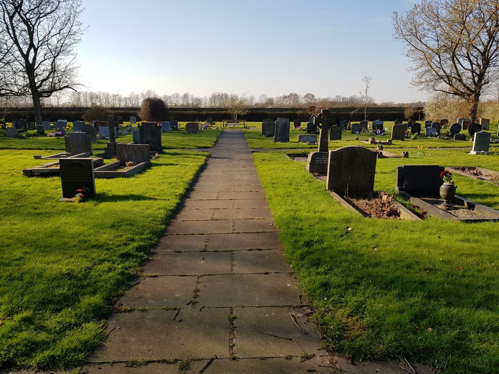
Where is Moor Lane Burial Ground?
Moor Lane Burial Ground is located at Moor Lane Copmanthorpe, York Unitary Authority ,North Yorkshire ,England.
-
Moor Lane Burial Ground cemetery's updated grave count on graveviews.com?
0 memorials
-
Where are the coordinates of the Moor Lane Burial Ground?
Latitude: 53.9096890
Longitude: -1.1449400
Nearby Cemetories:
1. St Giles Churchyard
Copmanthorpe, York Unitary Authority, England
Coordinate: 53.9149240, -1.1410420
2. St Nicholas Churchyard
Askham Bryan, York Unitary Authority, England
Coordinate: 53.9294600, -1.1581240
3. St Paul Churchyard
Colton, Selby District, England
Coordinate: 53.8964660, -1.1773770
4. Dringhouses Cemetery
York, York Unitary Authority, England
Coordinate: 53.9297740, -1.1156780
5. St Mary Churchyard
Askham Richard, York Unitary Authority, England
Coordinate: 53.9254100, -1.1836800
6. Holy Trinity Churchyard
Acaster Malbis, York Unitary Authority, England
Coordinate: 53.9052480, -1.0975170
7. St James Churchyard
Bilbrough, Selby District, England
Coordinate: 53.9119110, -1.1945130
8. St Andrew Churchyard
Bishopthorpe, York Unitary Authority, England
Coordinate: 53.9236690, -1.0955320
9. St. Andrew's Old Churchyard
Bishopthorpe, York Unitary Authority, England
Coordinate: 53.9221490, -1.0929640
10. St Matthew Churchyard
Naburn, York Unitary Authority, England
Coordinate: 53.9009520, -1.0899200
11. York Crematorium
York, York Unitary Authority, England
Coordinate: 53.9264970, -1.0936130
12. All Saints Churchyard
Appleton Roebuck, Selby District, England
Coordinate: 53.8734600, -1.1580870
13. St. Edward the Confessor
Dringhouses, York Unitary Authority, England
Coordinate: 53.9399810, -1.1061270
14. Tyburn Cemetery
York, York Unitary Authority, England
Coordinate: 53.9486800, -1.1008400
15. St Stephen Churchyard
Acomb, York Unitary Authority, England
Coordinate: 53.9558840, -1.1289100
16. St Oswald's Old Churchyard
Fulford, York Unitary Authority, England
Coordinate: 53.9391350, -1.0809020
17. St John Churchyard
Acaster Selby, Selby District, England
Coordinate: 53.8614750, -1.1283740
18. Fulford Cemetery
Fulford, York Unitary Authority, England
Coordinate: 53.9304450, -1.0683670
19. All Saints Churchyard
Bolton Percy, Selby District, England
Coordinate: 53.8649780, -1.1929000
20. St Clement Church
York, York Unitary Authority, England
Coordinate: 53.9511660, -1.0871720
21. St Helen Churchyard
Stillingfleet, Selby District, England
Coordinate: 53.8618710, -1.0994760
22. St Mary's Convent - The Bar Convent
York, York Unitary Authority, England
Coordinate: 53.9552520, -1.0911020
23. St Clement Priory Churchyard (Defunct)
York, York Unitary Authority, England
Coordinate: 53.9524710, -1.0827970
24. All Saints Churchyard
Rufforth, York Unitary Authority, England
Coordinate: 53.9568390, -1.1975690