| Memorials | : | 750 |
| Location | : | Acaster Malbis, York Unitary Authority, England |
| Coordinate | : | 53.9052480, -1.0975170 |
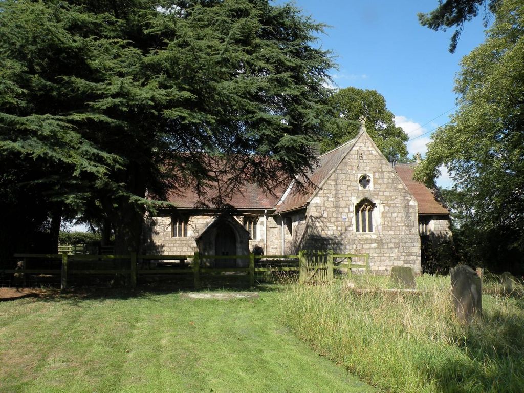
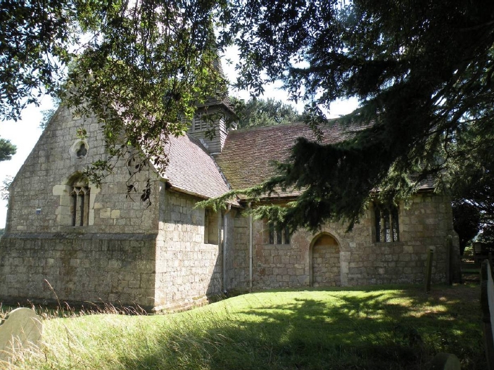
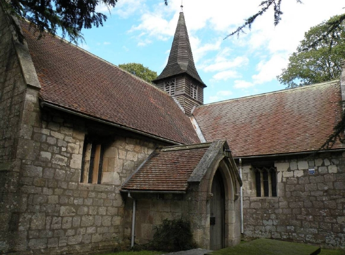
| Description | : | The Romans had a settlement here and after the Norman conquest the D'Acaster family built a church around 1100. The Malbysse family came to England with William the Conqueror and the two families of D'Acaster and Malbysse were united in marriage. Richard Malbysse, known as "Mala Bestia", was fined £40 for his part in the infamous massacre of the Jews in Clifford's Tower in 1190. The present cruciform church, with its recently restored wooden spire, was built in the first half of the 14th century. The East Window retains glass from the mid 14th century. Unfortunately due to local... Read More |
frequently asked questions (FAQ):
-
Where is Holy Trinity Churchyard?
Holy Trinity Churchyard is located at Acaster Malbis, York Unitary Authority ,North Yorkshire ,England.
-
Holy Trinity Churchyard cemetery's updated grave count on graveviews.com?
750 memorials
-
Where are the coordinates of the Holy Trinity Churchyard?
Latitude: 53.9052480
Longitude: -1.0975170
Nearby Cemetories:
1. St Matthew Churchyard
Naburn, York Unitary Authority, England
Coordinate: 53.9009520, -1.0899200
2. St. Andrew's Old Churchyard
Bishopthorpe, York Unitary Authority, England
Coordinate: 53.9221490, -1.0929640
3. St Andrew Churchyard
Bishopthorpe, York Unitary Authority, England
Coordinate: 53.9236690, -1.0955320
4. York Crematorium
York, York Unitary Authority, England
Coordinate: 53.9264970, -1.0936130
5. Dringhouses Cemetery
York, York Unitary Authority, England
Coordinate: 53.9297740, -1.1156780
6. St Giles Churchyard
Copmanthorpe, York Unitary Authority, England
Coordinate: 53.9149240, -1.1410420
7. Moor Lane Burial Ground
Copmanthorpe, York Unitary Authority, England
Coordinate: 53.9096890, -1.1449400
8. Fulford Cemetery
Fulford, York Unitary Authority, England
Coordinate: 53.9304450, -1.0683670
9. St. Edward the Confessor
Dringhouses, York Unitary Authority, England
Coordinate: 53.9399810, -1.1061270
10. St Oswald's Old Churchyard
Fulford, York Unitary Authority, England
Coordinate: 53.9391350, -1.0809020
11. St. Helen's Churchyard
Escrick, Selby District, England
Coordinate: 53.8805200, -1.0460990
12. St Nicholas Churchyard
Askham Bryan, York Unitary Authority, England
Coordinate: 53.9294600, -1.1581240
13. St Helen Churchyard
Stillingfleet, Selby District, England
Coordinate: 53.8618710, -1.0994760
14. Tyburn Cemetery
York, York Unitary Authority, England
Coordinate: 53.9486800, -1.1008400
15. St Clement Church
York, York Unitary Authority, England
Coordinate: 53.9511660, -1.0871720
16. St John Churchyard
Acaster Selby, Selby District, England
Coordinate: 53.8614750, -1.1283740
17. St Helen Churchyard
York, York Unitary Authority, England
Coordinate: 53.9509330, -1.0753630
18. York Cemetery
York, York Unitary Authority, England
Coordinate: 53.9503960, -1.0723530
19. Friends Burial Ground
York, York Unitary Authority, England
Coordinate: 53.9478920, -1.0618450
20. All Saints Churchyard
Appleton Roebuck, Selby District, England
Coordinate: 53.8734600, -1.1580870
21. St Paul Churchyard
Colton, Selby District, England
Coordinate: 53.8964660, -1.1773770
22. St Clement Priory Churchyard (Defunct)
York, York Unitary Authority, England
Coordinate: 53.9524710, -1.0827970
23. St Mary's Convent - The Bar Convent
York, York Unitary Authority, England
Coordinate: 53.9552520, -1.0911020
24. Friends Burial Ground
York, York Unitary Authority, England
Coordinate: 53.9550140, -1.0846700


