
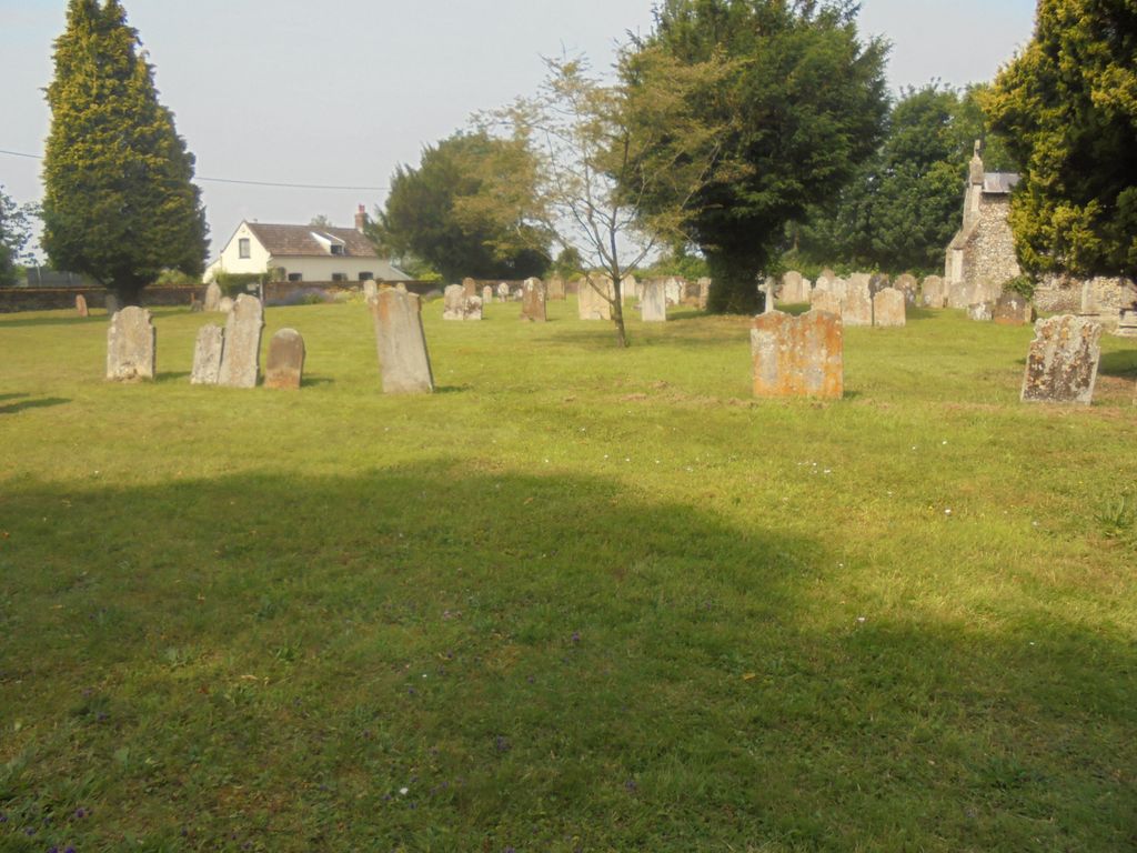
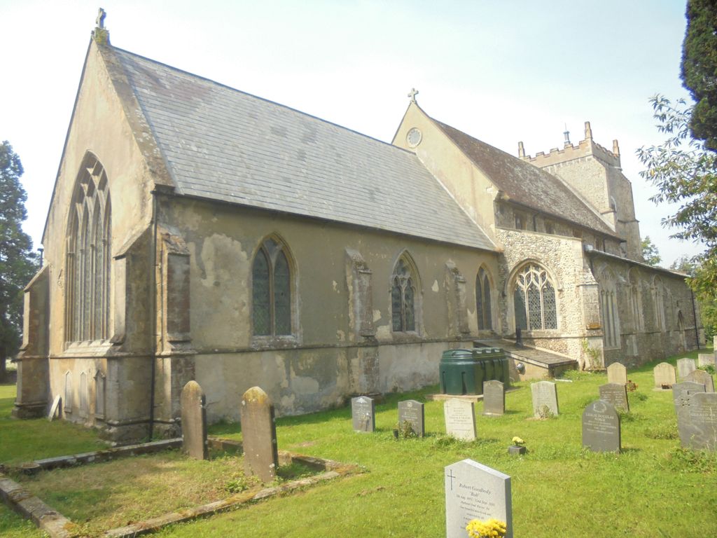
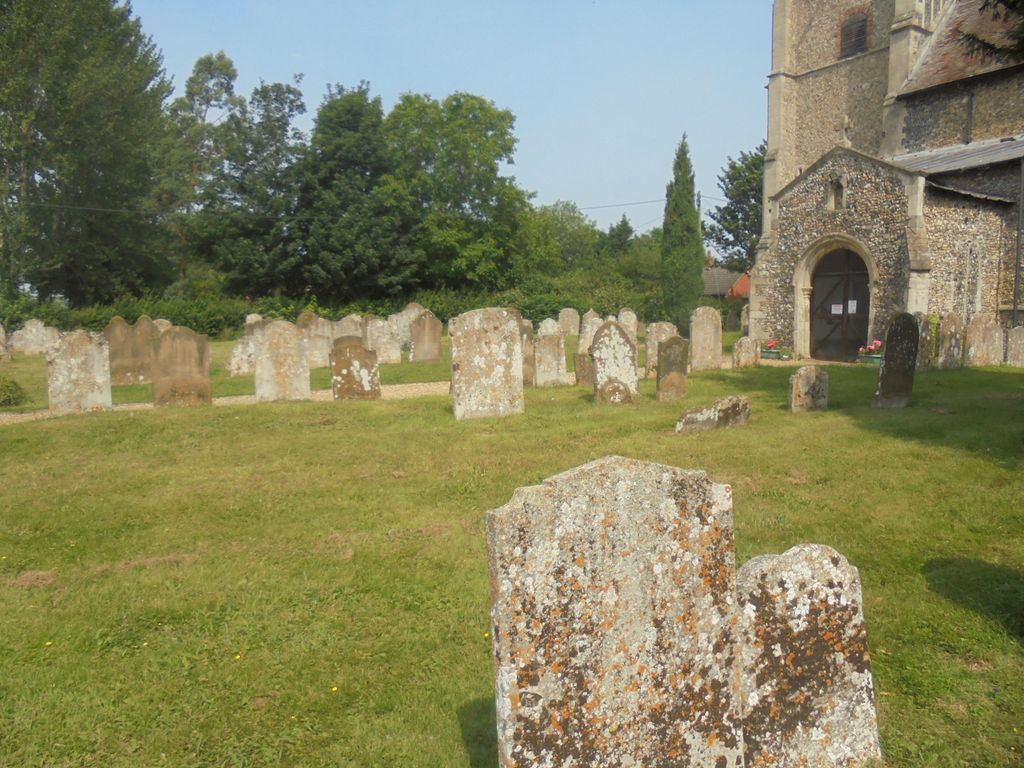
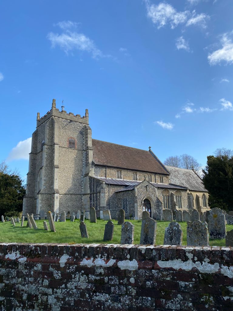
| Memorials | : | 20 |
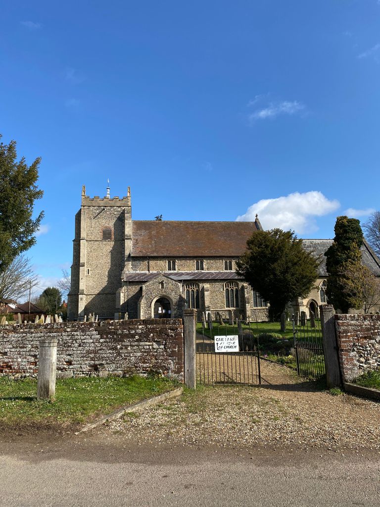
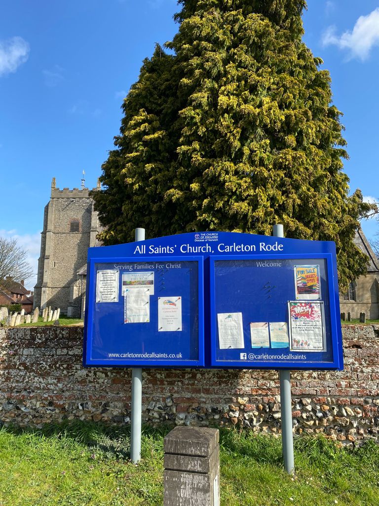
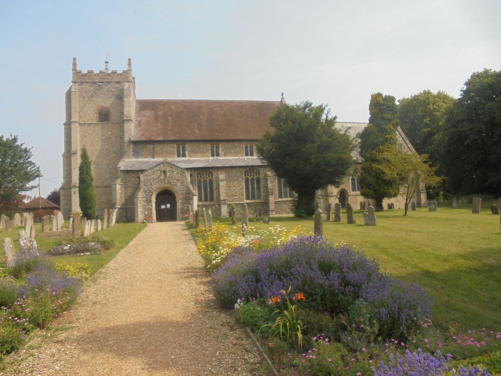
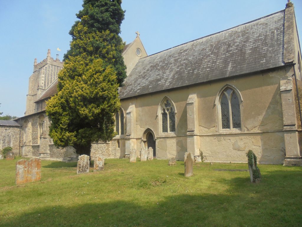
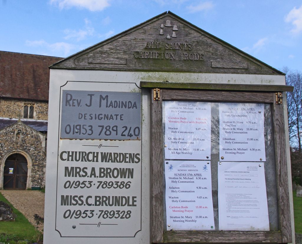
| Location | : | Carleton Rode, South Norfolk District, England |
| Coordinate | : | 52.4892230, 1.1133590 |
frequently asked questions (FAQ):
-
Where is All Saints Churchyard?
All Saints Churchyard is located at Carleton Rode, South Norfolk District ,Norfolk ,England.
-
All Saints Churchyard cemetery's updated grave count on graveviews.com?
18 memorials
-
Where are the coordinates of the All Saints Churchyard?
Latitude: 52.4892230
Longitude: 1.1133590
Nearby Cemetories:
1. Carleton Rode Baptist Churchyard
Carleton Rode, South Norfolk District, England
Coordinate: 52.4937320, 1.1185210
2. St. Michael and All Angels Churchyard
Bunwell, South Norfolk District, England
Coordinate: 52.4914460, 1.1296800
3. Methodist Churchyard
Forncett End, South Norfolk District, England
Coordinate: 52.4993440, 1.1545110
4. St. Martin's Churchyard
New Buckenham, Breckland Borough, England
Coordinate: 52.4728860, 1.0728380
5. Buckenham Priory
Buckenham, Broadland District, England
Coordinate: 52.4911000, 1.0497000
6. St Michael Churchyard
Aslacton, South Norfolk District, England
Coordinate: 52.4750490, 1.1737040
7. All Saints Churchyard
Old Buckenham, Breckland Borough, England
Coordinate: 52.4816260, 1.0433160
8. St Peter Churchyard
Forncett, South Norfolk District, England
Coordinate: 52.4906450, 1.1862950
9. St Mary Churchyard
Forncett, South Norfolk District, England
Coordinate: 52.4994380, 1.1897810
10. St. Michael's Churchyard
Great Moulton, South Norfolk District, England
Coordinate: 52.4718860, 1.1868760
11. Saint Nicholas Churchyard
Fundenhall, South Norfolk District, England
Coordinate: 52.5275430, 1.1717020
12. All Saints Churchyard
Besthorpe, Breckland Borough, England
Coordinate: 52.5192800, 1.0431370
13. All Saints Churchyard
Ashwellthorpe, South Norfolk District, England
Coordinate: 52.5346560, 1.1638810
14. St. Mary the Virgin Churchyard
Banham, Breckland Borough, England
Coordinate: 52.4529230, 1.0353120
15. Theddingworth Congregational Church yard
Theddingworth, Harborough District, England
Coordinate: 52.4644400, 1.0211700
16. St Mary's Churchyard Extension
Banham, Breckland Borough, England
Coordinate: 52.4549400, 1.0274400
17. Parkside Garden
Attleborough, Breckland Borough, England
Coordinate: 52.5167420, 1.0209100
18. Blessed Virgin Mary Churchyard
Attleborough, Breckland Borough, England
Coordinate: 52.5178950, 1.0181880
19. St. Margaret Churchyard
Hapton, South Norfolk District, England
Coordinate: 52.5244110, 1.2066410
20. Attleborough Cemetery
Attleborough, Breckland Borough, England
Coordinate: 52.5206640, 1.0157790
21. Saint Mary Churchyard
Gissing, South Norfolk District, England
Coordinate: 52.4235630, 1.1548260
22. St. Peter's Chapel
Morley Saint Botolph, South Norfolk District, England
Coordinate: 52.5464700, 1.0416520
23. Long Stratton Congregational Churchyard
Long Stratton, South Norfolk District, England
Coordinate: 52.4818890, 1.2324460
24. St Mary's Churchyard
Long Stratton, South Norfolk District, England
Coordinate: 52.4840800, 1.2339000