
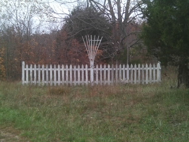
| Memorials | : | 0 |
| Location | : | Iron County, USA |
| Coordinate | : | 37.5003540, -90.6948960 |
frequently asked questions (FAQ):
-
Where is Allen Cemetery?
Allen Cemetery is located at Iron County ,Missouri ,USA.
-
Allen Cemetery cemetery's updated grave count on graveviews.com?
0 memorials
-
Where are the coordinates of the Allen Cemetery?
Latitude: 37.5003540
Longitude: -90.6948960
Nearby Cemetories:
1. Glover Baptist Church Cemetery
Glover, Iron County, USA
Coordinate: 37.4899900, -90.6918200
2. Big Creek Cemetery
Chloride, Iron County, USA
Coordinate: 37.4704704, -90.6914978
3. Huff Cemetery
Chloride, Iron County, USA
Coordinate: 37.4608002, -90.6896973
4. Ivester Cemetery
Arcadia, Iron County, USA
Coordinate: 37.5225200, -90.6446600
5. Open Door House of Prayer Cemetery
Sabula, Iron County, USA
Coordinate: 37.4276800, -90.6970900
6. Emilys Chapel Cemetery
Sabula, Iron County, USA
Coordinate: 37.4324989, -90.7285995
7. Sutton Cemetery
Iron County, USA
Coordinate: 37.5111008, -90.6018982
8. Hurst Cemetery
Iron County, USA
Coordinate: 37.4303017, -90.6288986
9. Old Lewis Cemetery
Sabula, Iron County, USA
Coordinate: 37.4099630, -90.6999860
10. Taum Sauk Cemetery
Lesterville, Reynolds County, USA
Coordinate: 37.5140580, -90.8082140
11. Ursuline Convent Cemetery
Arcadia, Iron County, USA
Coordinate: 37.5843900, -90.6280500
12. Allgier Cemetery
Iron County, USA
Coordinate: 37.5292015, -90.5725021
13. Allgier-Flatwoods-Lashley Graveyard
Iron County, USA
Coordinate: 37.5308700, -90.5680300
14. Park View Cemetery
Ironton, Iron County, USA
Coordinate: 37.5951410, -90.6331090
15. Polk Cemetery
Arcadia, Iron County, USA
Coordinate: 37.4464302, -90.5765381
16. Bowles Cemetery
Sabula, Iron County, USA
Coordinate: 37.3921390, -90.6883000
17. Russell Cemetery
Iron County, USA
Coordinate: 37.5905991, -90.6175003
18. Arcadia Valley Memorial Park
Arcadia, Iron County, USA
Coordinate: 37.5936012, -90.6188965
19. Rebel Cemetery
Iron County, USA
Coordinate: 37.5311012, -90.5582962
20. Saint Pauls Episcopal Church Memorial Gard
Ironton, Iron County, USA
Coordinate: 37.5998300, -90.6270800
21. Knights of Pythias Cemetery
Ironton, Iron County, USA
Coordinate: 37.5952360, -90.6172940
22. Masonic Cemetery
Ironton, Iron County, USA
Coordinate: 37.5962200, -90.6178920
23. Mills Cemetery
Lesterville, Reynolds County, USA
Coordinate: 37.4726870, -90.8341670
24. Cove Cemetery
Arcadia, Iron County, USA
Coordinate: 37.5769005, -90.5849991