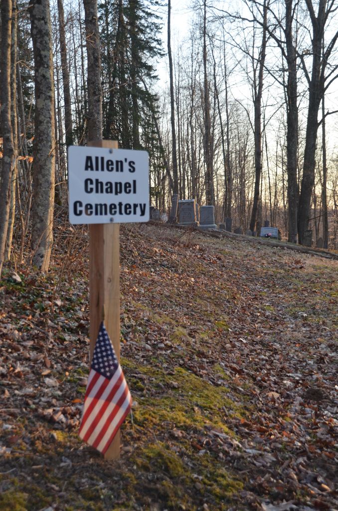
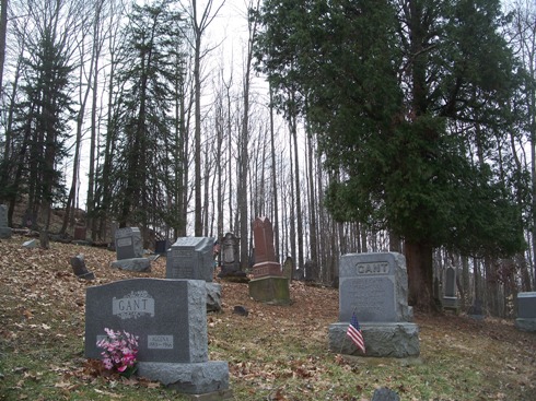
| Memorials | : | 0 |
| Location | : | Summerfield, Noble County, USA |
| Coordinate | : | 39.7922900, -81.3765100 |
| Description | : | The cemetery is located on the southwest corner of the intersection of Barnes Ridge Road (County Road 51) and Township Road 207A. The cemetery is located in Marion Township, Noble County, Ohio, and is # 9071 (Allen Chapel Cemetery / Barnes Ridge Cemetery) in “Ohio Cemeteries 1803-2003”, compiled by the Ohio Genealogical Society. The U.S. Geological Survey (USGS) Geographic Names Information System (GNIS) feature ID for the cemetery is 1963666 (Allens Chapel Cemetery / Allen’s Chapel Cemetery / Barnes Ridge Cemetery). |
frequently asked questions (FAQ):
-
Where is Allens Chapel Cemetery?
Allens Chapel Cemetery is located at Barnes Ridge Road (County Road 51) Summerfield, Noble County ,Ohio , 43779USA.
-
Allens Chapel Cemetery cemetery's updated grave count on graveviews.com?
0 memorials
-
Where are the coordinates of the Allens Chapel Cemetery?
Latitude: 39.7922900
Longitude: -81.3765100
Nearby Cemetories:
1. East Union Cemetery
East Union, Noble County, USA
Coordinate: 39.7689600, -81.3973400
2. Summerfield Methodist Church Cemetery
Summerfield, Noble County, USA
Coordinate: 39.7967339, -81.3358231
3. Whigville Cemetery
Whigville, Noble County, USA
Coordinate: 39.8270200, -81.3751200
4. Crow Cemetery
Carlisle, Noble County, USA
Coordinate: 39.7651500, -81.3469770
5. Eastern Cemetery
Summerfield, Noble County, USA
Coordinate: 39.8015100, -81.3316920
6. Old Saint Michaels Cemetery
Noble County, USA
Coordinate: 39.7549800, -81.3853300
7. Archer Cemetery
Stock Township, Noble County, USA
Coordinate: 39.7548250, -81.3859140
8. Fredericksdale Cemetery
Fredericksdale, Noble County, USA
Coordinate: 39.8060870, -81.4271060
9. Craig Cemetery
Center Township, Noble County, USA
Coordinate: 39.8252270, -81.4120930
10. Curtis Ridge Cemetery
Noble County, USA
Coordinate: 39.7546997, -81.3419037
11. Carlisle Methodist Cemetery
Carlisle, Noble County, USA
Coordinate: 39.7459490, -81.3660950
12. Saint Michaels Catholic Church Cemetery
Carlisle, Noble County, USA
Coordinate: 39.7450870, -81.3673140
13. Archers Ridge Methodist Church Cemetery
Fulda, Noble County, USA
Coordinate: 39.7534100, -81.4267900
14. Danford Cemetery
Monroe County, USA
Coordinate: 39.8119011, -81.3039017
15. Mount Ephraim Methodist Cemetery
Mount Ephraim, Noble County, USA
Coordinate: 39.8490067, -81.4150467
16. Mount Ephraim Cemetery
Mount Ephraim, Noble County, USA
Coordinate: 39.8500000, -81.4166170
17. Center Free Methodist Church Cemetery
Sarahsville, Noble County, USA
Coordinate: 39.7994590, -81.4642190
18. Old Sarahsville Cemetery
Sarahsville, Noble County, USA
Coordinate: 39.8000220, -81.4651580
19. Glady Cemetery
Whigville, Noble County, USA
Coordinate: 39.8579000, -81.3497010
20. Village View Cemetery
Sarahsville, Noble County, USA
Coordinate: 39.8047170, -81.4665000
21. Swazey Methodist Cemetery
Monroe County, USA
Coordinate: 39.7661800, -81.2887300
22. Perryopolis Cemetery
Caldwell, Noble County, USA
Coordinate: 39.7764560, -81.4705390
23. Baker Cemetery
Sarahsville, Noble County, USA
Coordinate: 39.7899750, -81.4739100
24. Saint Marys Cemetery
Fulda, Noble County, USA
Coordinate: 39.7232780, -81.4151840


