
| Memorials | : | 16 |
| Location | : | Carlisle, Noble County, USA |
| Phone | : | (740) 732-4129 |
| Website | : | www.nccchurches.org |
| Coordinate | : | 39.7450870, -81.3673140 |
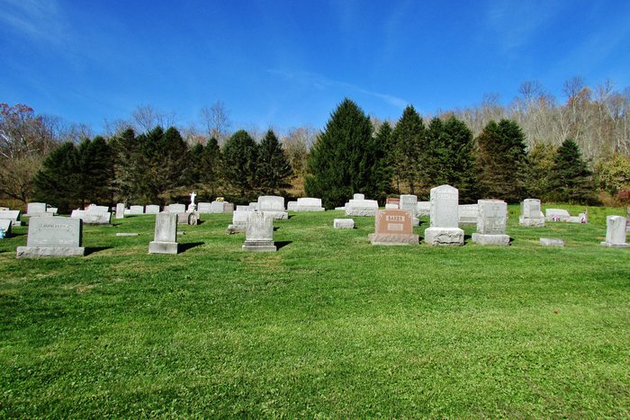
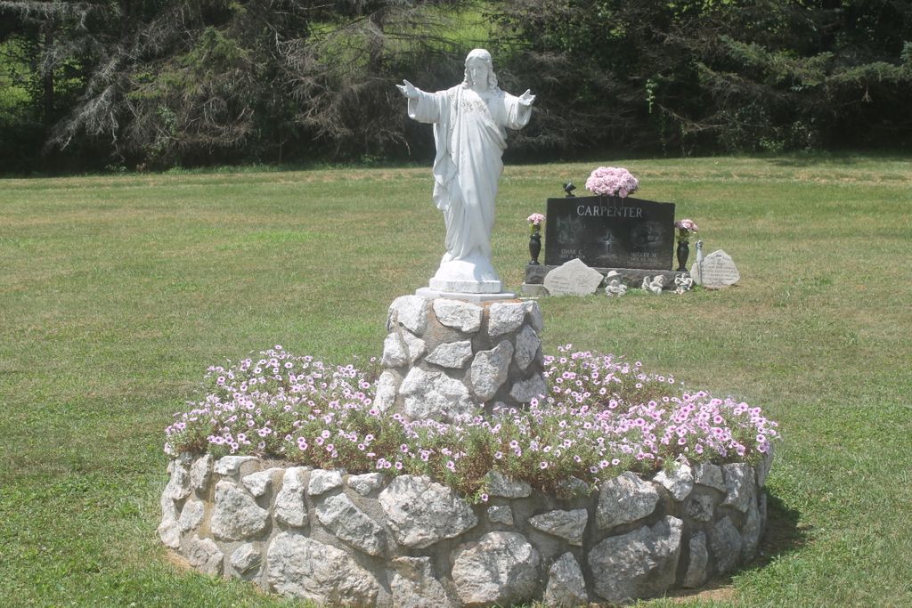
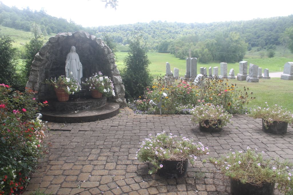
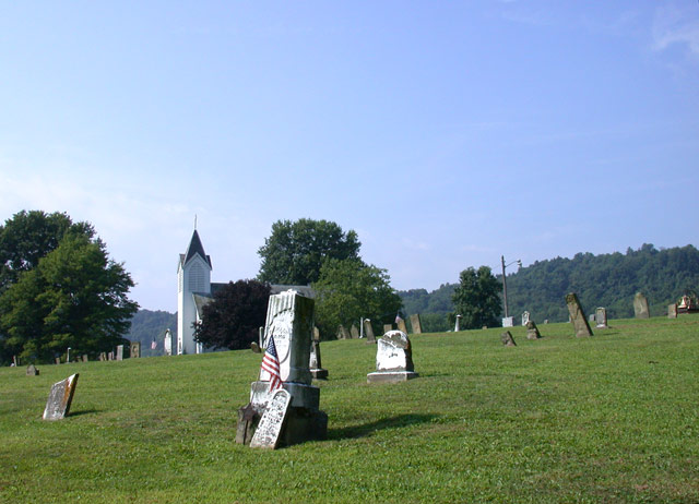
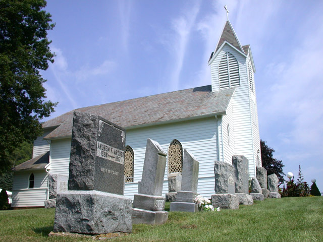
| Description | : | The cemetery lies to the west and south of Saint Michael Catholic Church, which is on the north side of Carlisle Road (County Road 43) about 550 feet west of its intersection with Road Fork Road (Ohio State Route 260). The cemetery is located in Stock Township, Huron County, Ohio, and is # 9153 (Saint Michaels Cemetery) in “Ohio Cemeteries 1803-2003”, compiled by the Ohio Genealogical Society. The cemetery is registered with the Ohio Division of Real Estate and Professional Licensing (ODRE) as St. Michael’s Church Cemetery with registration license number CBR.0000983142. |
frequently asked questions (FAQ):
-
Where is Saint Michaels Catholic Church Cemetery?
Saint Michaels Catholic Church Cemetery is located at 44935 Carlisle Road (County Road 43) Carlisle, Noble County ,Ohio , 43724USA.
-
Saint Michaels Catholic Church Cemetery cemetery's updated grave count on graveviews.com?
15 memorials
-
Where are the coordinates of the Saint Michaels Catholic Church Cemetery?
Latitude: 39.7450870
Longitude: -81.3673140
Nearby Cemetories:
1. Carlisle Methodist Cemetery
Carlisle, Noble County, USA
Coordinate: 39.7459490, -81.3660950
2. Old Saint Michaels Cemetery
Noble County, USA
Coordinate: 39.7549800, -81.3853300
3. Archer Cemetery
Stock Township, Noble County, USA
Coordinate: 39.7548250, -81.3859140
4. Curtis Ridge Cemetery
Noble County, USA
Coordinate: 39.7546997, -81.3419037
5. Crow Cemetery
Carlisle, Noble County, USA
Coordinate: 39.7651500, -81.3469770
6. East Union Cemetery
East Union, Noble County, USA
Coordinate: 39.7689600, -81.3973400
7. Mount Tabor Cemetery
Carlisle, Noble County, USA
Coordinate: 39.7220001, -81.3229980
8. Saint Marys Cemetery
Fulda, Noble County, USA
Coordinate: 39.7232780, -81.4151840
9. Rado Cemetery
Noble County, USA
Coordinate: 39.7019005, -81.3818970
10. Archers Ridge Methodist Church Cemetery
Fulda, Noble County, USA
Coordinate: 39.7534100, -81.4267900
11. Allens Chapel Cemetery
Summerfield, Noble County, USA
Coordinate: 39.7922900, -81.3765100
12. Summerfield Methodist Church Cemetery
Summerfield, Noble County, USA
Coordinate: 39.7967339, -81.3358231
13. Eastern Cemetery
Summerfield, Noble County, USA
Coordinate: 39.8015100, -81.3316920
14. Crum Ridge Cemetery
Noble County, USA
Coordinate: 39.6884100, -81.3323400
15. Swazey Methodist Cemetery
Monroe County, USA
Coordinate: 39.7661800, -81.2887300
16. Hesson Family Cemetery
Noble County, USA
Coordinate: 39.6847000, -81.4068985
17. Manifold Cemetery
Ashton, Noble County, USA
Coordinate: 39.7254300, -81.4621600
18. Fredericksdale Cemetery
Fredericksdale, Noble County, USA
Coordinate: 39.8060870, -81.4271060
19. Merry Cemetery
Duvall, Noble County, USA
Coordinate: 39.7474280, -81.4675860
20. Sutherland Methodist Cemetery
Stafford, Monroe County, USA
Coordinate: 39.7281281, -81.2692804
21. Stafford Cemetery
Stafford, Monroe County, USA
Coordinate: 39.7128500, -81.2723400
22. Rouse Merry Cemetery
Caldwell, Noble County, USA
Coordinate: 39.7521430, -81.4714510
23. Stewart Cemetery
Noble County, USA
Coordinate: 39.6699982, -81.3244019
24. Whigville Cemetery
Whigville, Noble County, USA
Coordinate: 39.8270200, -81.3751200