
| Memorials | : | 0 |
| Location | : | Carlisle, Noble County, USA |
| Coordinate | : | 39.7651500, -81.3469770 |
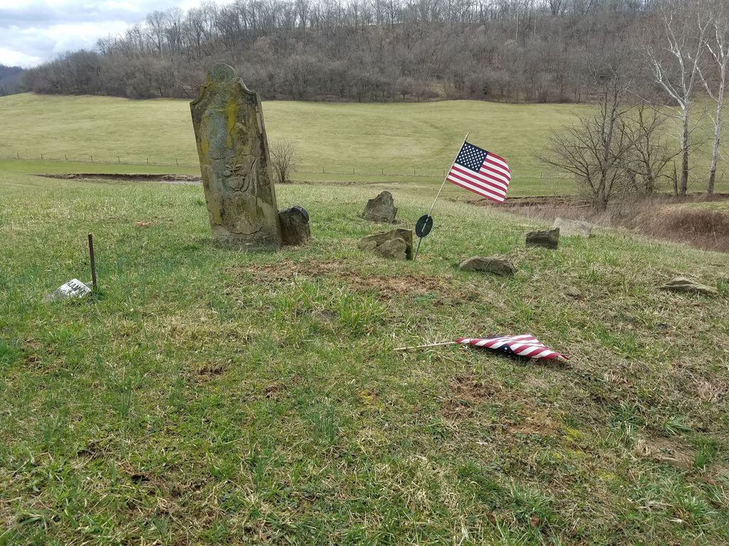
| Description | : | Family cemetery of the Crow and McBride families. It is located on SR 725 near Carlisle, Noble County, Ohio. The land is part of the Dimmerling Farm. The book “Ohio Cemeteries 1803-2003” gives the location as northeast of Carlisle on the Freda Ritterback farm (1983) on the west side of Smithberger Road (County Road 43) north of its intersection with Horton Hollow Road (Town Road 231) and north of the junction of Smithberger Road with Pump Station Road (Ohio State Route 724). The cemetery is located in Stock Township, Noble County, Ohio, and is # 9148 (Crow Cemetery... Read More |
frequently asked questions (FAQ):
-
Where is Crow Cemetery?
Crow Cemetery is located at Smithberger Road (County Road 43) Carlisle, Noble County ,Ohio , 43788USA.
-
Crow Cemetery cemetery's updated grave count on graveviews.com?
0 memorials
-
Where are the coordinates of the Crow Cemetery?
Latitude: 39.7651500
Longitude: -81.3469770
Nearby Cemetories:
1. Curtis Ridge Cemetery
Noble County, USA
Coordinate: 39.7546997, -81.3419037
2. Carlisle Methodist Cemetery
Carlisle, Noble County, USA
Coordinate: 39.7459490, -81.3660950
3. Saint Michaels Catholic Church Cemetery
Carlisle, Noble County, USA
Coordinate: 39.7450870, -81.3673140
4. Old Saint Michaels Cemetery
Noble County, USA
Coordinate: 39.7549800, -81.3853300
5. Archer Cemetery
Stock Township, Noble County, USA
Coordinate: 39.7548250, -81.3859140
6. Summerfield Methodist Church Cemetery
Summerfield, Noble County, USA
Coordinate: 39.7967339, -81.3358231
7. Allens Chapel Cemetery
Summerfield, Noble County, USA
Coordinate: 39.7922900, -81.3765100
8. Eastern Cemetery
Summerfield, Noble County, USA
Coordinate: 39.8015100, -81.3316920
9. East Union Cemetery
East Union, Noble County, USA
Coordinate: 39.7689600, -81.3973400
10. Swazey Methodist Cemetery
Monroe County, USA
Coordinate: 39.7661800, -81.2887300
11. Mount Tabor Cemetery
Carlisle, Noble County, USA
Coordinate: 39.7220001, -81.3229980
12. Danford Cemetery
Monroe County, USA
Coordinate: 39.8119011, -81.3039017
13. Archers Ridge Methodist Church Cemetery
Fulda, Noble County, USA
Coordinate: 39.7534100, -81.4267900
14. Bracken Ridge Church Cemetery
Summit Township, Monroe County, USA
Coordinate: 39.7747960, -81.2629620
15. Whigville Cemetery
Whigville, Noble County, USA
Coordinate: 39.8270200, -81.3751200
16. Saint Marys Cemetery
Fulda, Noble County, USA
Coordinate: 39.7232780, -81.4151840
17. Rado Cemetery
Noble County, USA
Coordinate: 39.7019005, -81.3818970
18. Saint Josephs Roman Catholic Church Cemetery
Summit Township, Monroe County, USA
Coordinate: 39.7882750, -81.2620940
19. Sutherland Methodist Cemetery
Stafford, Monroe County, USA
Coordinate: 39.7281281, -81.2692804
20. Fredericksdale Cemetery
Fredericksdale, Noble County, USA
Coordinate: 39.8060870, -81.4271060
21. Wise Cemetery
Lewisville, Monroe County, USA
Coordinate: 39.7754620, -81.2504200
22. Crum Ridge Cemetery
Noble County, USA
Coordinate: 39.6884100, -81.3323400
23. Stafford Cemetery
Stafford, Monroe County, USA
Coordinate: 39.7128500, -81.2723400
24. Craig Cemetery
Center Township, Noble County, USA
Coordinate: 39.8252270, -81.4120930