
| Memorials | : | 0 |
| Location | : | Ettlingen, Landkreis Karlsruhe, Germany |
| Coordinate | : | 48.9437700, 8.4103900 |
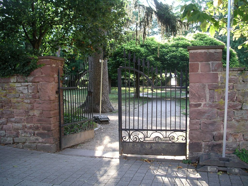
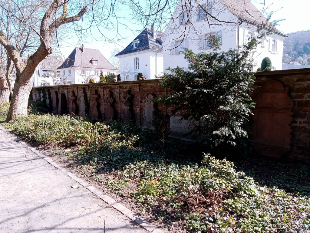
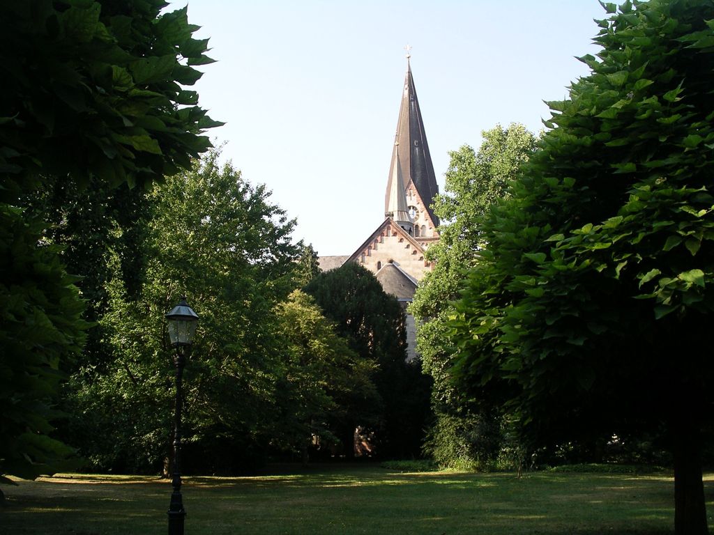
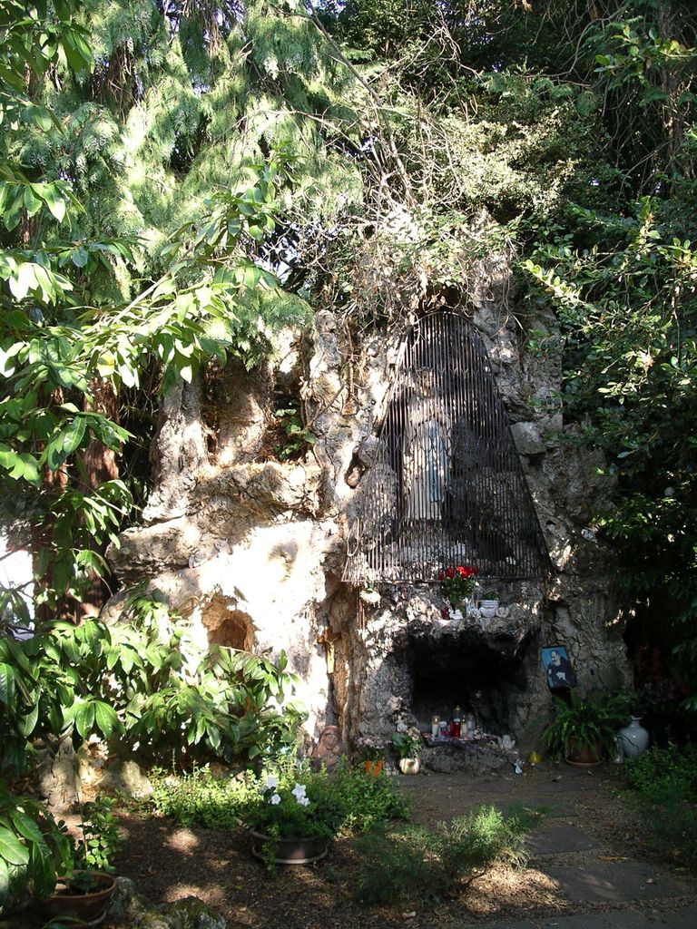
| Description | : | Der Friedhof wurde 1527 eingeweiht und 1889 geschlossen. 1931 wurde er in einen öffentlichen Park umgewandelt. Die meisten Grabsteine wurden entfernt. The cemetery was established in 1527 and closed in 1889. Since 1931 it is used as a public park. Almost all tombstones were removed. |
frequently asked questions (FAQ):
-
Where is Alter Friedhof Ettlingen?
Alter Friedhof Ettlingen is located at Durlacher Straße / Ludwig-Albert-Straße Ettlingen, Landkreis Karlsruhe ,Baden-Württemberg , 76275Germany.
-
Alter Friedhof Ettlingen cemetery's updated grave count on graveviews.com?
0 memorials
-
Where are the coordinates of the Alter Friedhof Ettlingen?
Latitude: 48.9437700
Longitude: 8.4103900
Nearby Cemetories:
1. Friedhof Ettlingen
Ettlingen, Landkreis Karlsruhe, Germany
Coordinate: 48.9491000, 8.4151000
2. Friedhof Ettlingenweier
Ettlingenweier, Landkreis Karlsruhe, Germany
Coordinate: 48.9314000, 8.3909000
3. Gefallenendenkmal Rüppurr
Rüppurr, Stadtkreis Karlsruhe, Germany
Coordinate: 48.9685350, 8.4022270
4. Friedhof Rüppurr
Rüppurr, Stadtkreis Karlsruhe, Germany
Coordinate: 48.9709000, 8.3996200
5. Friedhof Spessart
Spessart, Landkreis Karlsruhe, Germany
Coordinate: 48.9170000, 8.4376000
6. Friedhof Busenbach
Busenbach, Landkreis Karlsruhe, Germany
Coordinate: 48.9341000, 8.4687000
7. Neuer Friedhof Wolfartsweier
Wolfartsweier, Stadtkreis Karlsruhe, Germany
Coordinate: 48.9739589, 8.4492275
8. Alter Friedhof Wolfartsweier
Wolfartsweier, Stadtkreis Karlsruhe, Germany
Coordinate: 48.9751000, 8.4520000
9. Friedhof Schluttenbach
Schluttenbach, Landkreis Karlsruhe, Germany
Coordinate: 48.9017300, 8.4009700
10. Friedhof Grünwettersbach
Grünwettersbach, Stadtkreis Karlsruhe, Germany
Coordinate: 48.9572302, 8.4719305
11. Friedhof Schöllbronn
Schöllbronn, Landkreis Karlsruhe, Germany
Coordinate: 48.8998000, 8.4240000
12. Friedhof Hohenwettersbach
Hohenwettersbach, Stadtkreis Karlsruhe, Germany
Coordinate: 48.9646000, 8.4726000
13. Friedhof Palmbach
Palmbach, Stadtkreis Karlsruhe, Germany
Coordinate: 48.9482740, 8.4803376
14. Friedhof Bulach
Bulach, Stadtkreis Karlsruhe, Germany
Coordinate: 48.9839600, 8.3742300
15. Friedhof Etzenrot
Etzenrot, Landkreis Karlsruhe, Germany
Coordinate: 48.9157600, 8.4674700
16. Alter Friedhof Bulach
Bulach, Stadtkreis Karlsruhe, Germany
Coordinate: 48.9885000, 8.3801000
17. Friedhof Sulzbach
Sulzbach, Landkreis Karlsruhe, Germany
Coordinate: 48.9000263, 8.3691718
18. Friedhof Reichenbach
Reichenbach, Landkreis Karlsruhe, Germany
Coordinate: 48.9254000, 8.4845000
19. Friedhof Durlach-Aue
Durlach, Stadtkreis Karlsruhe, Germany
Coordinate: 48.9871550, 8.4546440
20. Friedhof Oberreut
Oberreut, Stadtkreis Karlsruhe, Germany
Coordinate: 48.9885793, 8.3690911
21. Friedhof Beiertheim
Beiertheim, Stadtkreis Karlsruhe, Germany
Coordinate: 48.9944648, 8.3864104
22. Jüdischer Friedhof an der Kriegsstraße Karlsruhe
Karlsruhe, Stadtkreis Karlsruhe, Germany
Coordinate: 49.0053000, 8.4184528
23. Friedhof Spielberg
Spielberg, Landkreis Karlsruhe, Germany
Coordinate: 48.8971000, 8.4736000
24. Alter Friedhof Karlsruhe
Karlsruhe, Stadtkreis Karlsruhe, Germany
Coordinate: 49.0066680, 8.4165160