
| Memorials | : | 1073 |
| Location | : | Frog Jump, Crockett County, USA |
| Coordinate | : | 35.8115250, -89.3406590 |
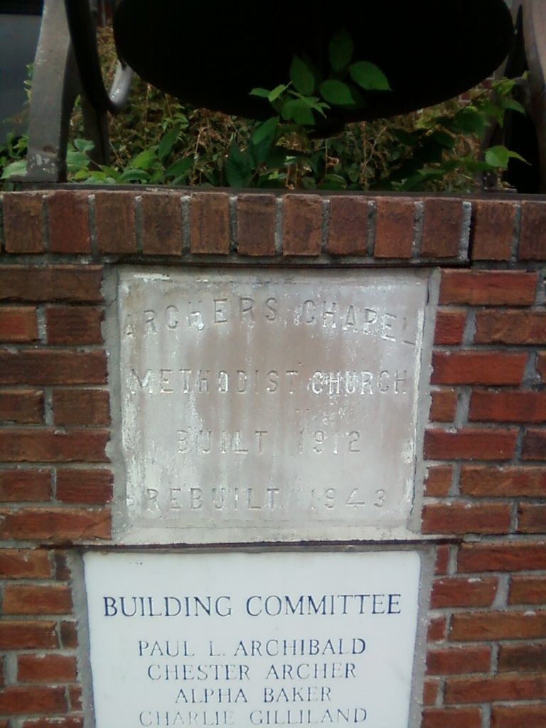
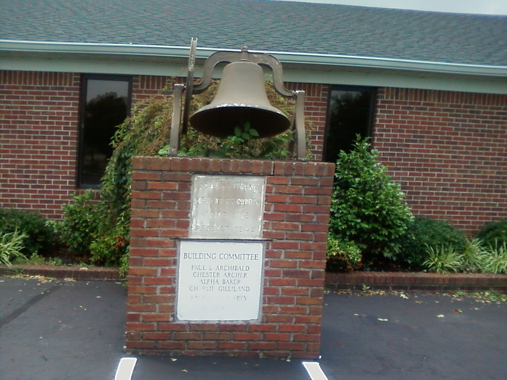
| Description | : | From the intersection of TN-180 N & US-51 N, east of Gates in Lauderdale Co., travel east on TN-180 S for 2.5 mi.; turning north (left) onto 2nd St., going 0.1 mi.; turning east (right) onto TN-88 E/Wardlow Rd E, going 4.8 mi. to the Frog Jump Community; turning south (right) onto Archer's Chapel Rd., going 0.3 mi. to the cemetery on both sides of the Archer's Chapel U.M. Church, as notated on USGS topo maps. The 'Old' cemetery is to the West of the Church and the new part is on the East. |
frequently asked questions (FAQ):
-
Where is Archers Chapel Methodist Cemetery?
Archers Chapel Methodist Cemetery is located at 339 Archer's Chapel Road Frog Jump, Crockett County ,Tennessee , 38040USA.
-
Archers Chapel Methodist Cemetery cemetery's updated grave count on graveviews.com?
71 memorials
-
Where are the coordinates of the Archers Chapel Methodist Cemetery?
Latitude: 35.8115250
Longitude: -89.3406590
Nearby Cemetories:
1. Buck Cemetery
Frog Jump, Crockett County, USA
Coordinate: 35.8315620, -89.3441880
2. Rowland Cemetery
Chestnut Bluff, Crockett County, USA
Coordinate: 35.8534820, -89.3267150
3. Lebanon United Methodist Church Cemetery
Friendship, Crockett County, USA
Coordinate: 35.8450880, -89.3062070
4. Carter Cemetery
Chestnut Bluff, Crockett County, USA
Coordinate: 35.8500090, -89.3122250
5. Glenn Cemetery
Crockett County, USA
Coordinate: 35.8509390, -89.3087660
6. Bucks Chapel Church Cemetery
Frog Jump, Crockett County, USA
Coordinate: 35.8126320, -89.2813750
7. Brooks Cemetery
Chestnut Bluff, Crockett County, USA
Coordinate: 35.8593500, -89.3319110
8. Trinity C.M.E. Church Cemetery
Gates, Lauderdale County, USA
Coordinate: 35.8409220, -89.3884490
9. Beasley-Albritton Cemetery
Chestnut Bluff, Crockett County, USA
Coordinate: 35.8584710, -89.3160610
10. Dean Cemetery
Frog Jump, Crockett County, USA
Coordinate: 35.8162630, -89.2778440
11. Eureka Church Cemetery
Forked Deer, Haywood County, USA
Coordinate: 35.7746300, -89.3847740
12. Parker - York Cemetery
Chestnut Bluff, Crockett County, USA
Coordinate: 35.8625990, -89.3290210
13. Bain Cemetery
Haywood County, USA
Coordinate: 35.7650574, -89.3750532
14. Siloam Cemetery
Dog Hill, Crockett County, USA
Coordinate: 35.8398940, -89.2832260
15. South Fork Cemetery
Chestnut Bluff, Crockett County, USA
Coordinate: 35.8646420, -89.3206200
16. Concord Church Cemetery
Gates, Lauderdale County, USA
Coordinate: 35.8152770, -89.4106200
17. Riddick Cemetery #2
Crockett County, USA
Coordinate: 35.8347200, -89.2718080
18. Poston-Wyse Cemetery
Johnsons Grove, Crockett County, USA
Coordinate: 35.7769700, -89.2775020
19. Gates Cemetery
Gates, Lauderdale County, USA
Coordinate: 35.8441340, -89.4063170
20. Willette Family Cemetery
Gates, Lauderdale County, USA
Coordinate: 35.8441130, -89.4063360
21. Rhodes Cemetery
Gates, Lauderdale County, USA
Coordinate: 35.8440770, -89.4131660
22. Crockett Cemetery
Gates, Lauderdale County, USA
Coordinate: 35.8502230, -89.4106960
23. White Cemetery
Johnsons Grove, Crockett County, USA
Coordinate: 35.7740020, -89.2676850
24. Floyds Chapel Cemetery
Broadview, Crockett County, USA
Coordinate: 35.8403860, -89.2592840