
| Memorials | : | 0 |
| Location | : | Chestnut Bluff, Crockett County, USA |
| Coordinate | : | 35.8534820, -89.3267150 |
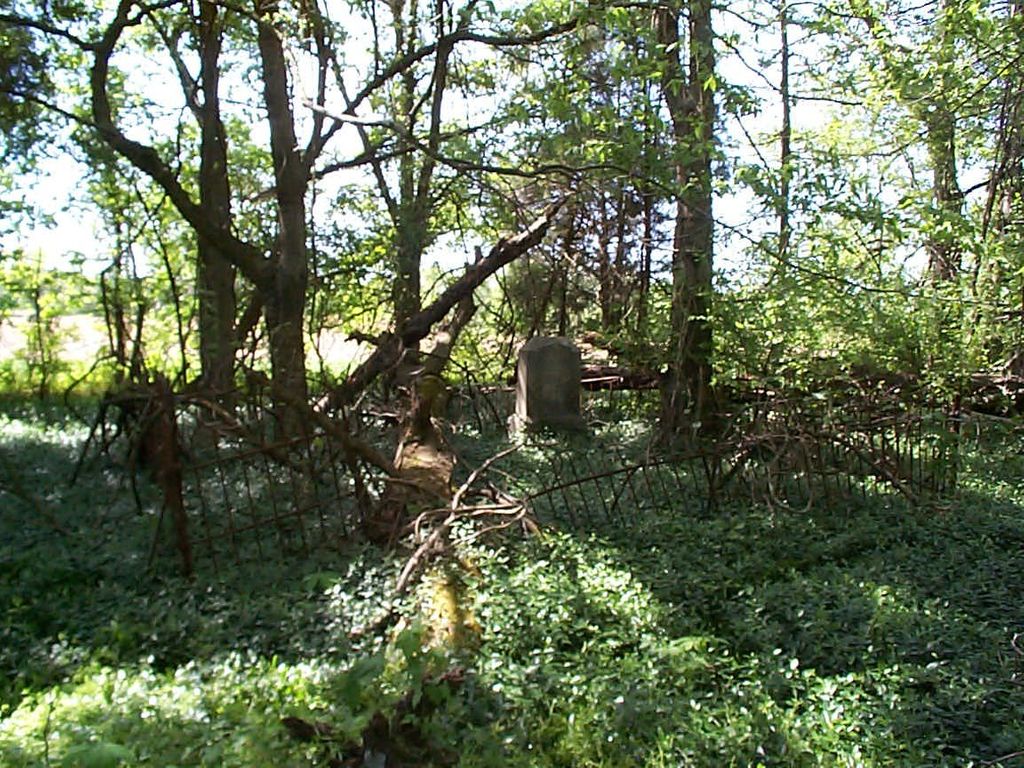
| Description | : | From the intersection of E Main St. & TN-209, in Halls, travel east on E Main St., to S Halls St., to Lawrence Rd.. then Espey Park Rd., to Chestnut Bluff Rd.; turning south (right) onto Spencer Rd., going 0.6 mi.; turning east (left) onto Rolland Rd., going 0.4 mi.; turning north (left) to the cemetery about 400' across a cultivated field to this 'deeded' cemetery within a clump of trees, as notated on USGS topo maps; but labeled 'Bettis Cemetery' after the earlier land owner. |
frequently asked questions (FAQ):
-
Where is Rowland Cemetery?
Rowland Cemetery is located at Rowland Road Chestnut Bluff, Crockett County ,Tennessee ,USA.
-
Rowland Cemetery cemetery's updated grave count on graveviews.com?
0 memorials
-
Where are the coordinates of the Rowland Cemetery?
Latitude: 35.8534820
Longitude: -89.3267150
Nearby Cemetories:
1. Brooks Cemetery
Chestnut Bluff, Crockett County, USA
Coordinate: 35.8593500, -89.3319110
2. Parker - York Cemetery
Chestnut Bluff, Crockett County, USA
Coordinate: 35.8625990, -89.3290210
3. Beasley-Albritton Cemetery
Chestnut Bluff, Crockett County, USA
Coordinate: 35.8584710, -89.3160610
4. South Fork Cemetery
Chestnut Bluff, Crockett County, USA
Coordinate: 35.8646420, -89.3206200
5. Carter Cemetery
Chestnut Bluff, Crockett County, USA
Coordinate: 35.8500090, -89.3122250
6. Glenn Cemetery
Crockett County, USA
Coordinate: 35.8509390, -89.3087660
7. Lebanon United Methodist Church Cemetery
Friendship, Crockett County, USA
Coordinate: 35.8450880, -89.3062070
8. Buck Cemetery
Frog Jump, Crockett County, USA
Coordinate: 35.8315620, -89.3441880
9. Siloam Cemetery
Dog Hill, Crockett County, USA
Coordinate: 35.8398940, -89.2832260
10. Archers Chapel Methodist Cemetery
Frog Jump, Crockett County, USA
Coordinate: 35.8115250, -89.3406590
11. Stallcup Family Cemetery
Cross Roads, Dyer County, USA
Coordinate: 35.8980720, -89.3245320
12. Riddick Cemetery #2
Crockett County, USA
Coordinate: 35.8347200, -89.2718080
13. Trinity C.M.E. Church Cemetery
Gates, Lauderdale County, USA
Coordinate: 35.8409220, -89.3884490
14. Browder Family Cemetery
Broadview, Crockett County, USA
Coordinate: 35.8646890, -89.2623010
15. Dean Cemetery
Frog Jump, Crockett County, USA
Coordinate: 35.8162630, -89.2778440
16. Bucks Chapel Church Cemetery
Frog Jump, Crockett County, USA
Coordinate: 35.8126320, -89.2813750
17. Antioch Cemetery
Friendship, Crockett County, USA
Coordinate: 35.8581090, -89.2577800
18. Floyds Chapel Cemetery
Broadview, Crockett County, USA
Coordinate: 35.8403860, -89.2592840
19. Jordan Cemetery
Halls, Lauderdale County, USA
Coordinate: 35.8795030, -89.3917070
20. Scarborough Cemetery
Broadview, Crockett County, USA
Coordinate: 35.8432570, -89.2546330
21. Cock and Irvin Cemetery
Hawkinsville, Dyer County, USA
Coordinate: 35.9104430, -89.3046210
22. Zion Hill Church Cemetery
Friendship, Dyer County, USA
Coordinate: 35.9095110, -89.2900760
23. Gates Cemetery
Gates, Lauderdale County, USA
Coordinate: 35.8441340, -89.4063170
24. Willette Family Cemetery
Gates, Lauderdale County, USA
Coordinate: 35.8441130, -89.4063360