
| Memorials | : | 0 |
| Location | : | Edneyville, Henderson County, USA |
| Coordinate | : | 35.3928300, -82.3708000 |
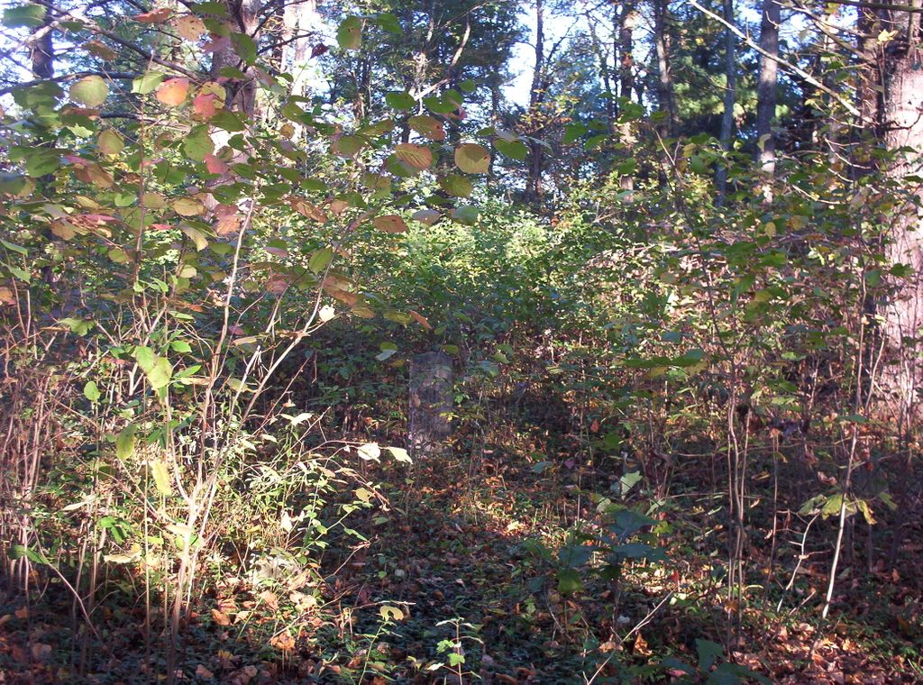
| Description | : | Located off South Mills Gap Road in the Edneyville community between Pryor Drive and Garren Road on private property. The cemetery is about 350 to 400 feet off South Mills Gap Road on the left side of a private property owner’s driveway. Permission must be obtained from the property owner prior to visitation. There are at least 50 unmarked or indecipherable field stones within this cemetery. There are no clearly defined rows. |
frequently asked questions (FAQ):
-
Where is Asa Edney Family Cemetery?
Asa Edney Family Cemetery is located at Edneyville, Henderson County ,North Carolina ,USA.
-
Asa Edney Family Cemetery cemetery's updated grave count on graveviews.com?
0 memorials
-
Where are the coordinates of the Asa Edney Family Cemetery?
Latitude: 35.3928300
Longitude: -82.3708000
Nearby Cemetories:
1. Mills Cemetery
Henderson County, USA
Coordinate: 35.3863860, -82.3652670
2. Edney-Coston Cemetery
Edneyville, Henderson County, USA
Coordinate: 35.3895250, -82.3550190
3. Edneyville United Methodist Church Cemetery
Edneyville, Henderson County, USA
Coordinate: 35.4043999, -82.3550034
4. Kings Grove Church Cemetery
Henderson County, USA
Coordinate: 35.3716740, -82.3685470
5. Lanning-Pittillo Cemetery
Henderson County, USA
Coordinate: 35.3939018, -82.4002991
6. Fruitland Cemetery
Henderson County, USA
Coordinate: 35.3833008, -82.4019012
7. Rhodes-Lyda Family Cemetery
Edneyville, Henderson County, USA
Coordinate: 35.4135900, -82.3491700
8. Mount Moriah Baptist Church Cemetery
Edneyville, Henderson County, USA
Coordinate: 35.3911580, -82.3324770
9. Saint Paul Cemetery
Edneyville, Henderson County, USA
Coordinate: 35.4133210, -82.3366600
10. Byers Family Cemetery
Edneyville, Henderson County, USA
Coordinate: 35.3810500, -82.3298310
11. Liberty Baptist Church Cemetery
Henderson County, USA
Coordinate: 35.4266700, -82.3563300
12. Drake Cemetery
Fruitland, Henderson County, USA
Coordinate: 35.4301390, -82.3851940
13. Jones Cemetery at Sugarloaf
Henderson County, USA
Coordinate: 35.3669014, -82.3321991
14. John Jackson Family Cemetery
Edneyville, Henderson County, USA
Coordinate: 35.3801861, -82.3202583
15. Hill Cemetery
Edneyville, Henderson County, USA
Coordinate: 35.4081750, -82.3169610
16. Union Hill Holiness Baptist Church Cemetery
Hendersonville, Henderson County, USA
Coordinate: 35.3522000, -82.3395000
17. Case Family Cemetery
Edneyville, Henderson County, USA
Coordinate: 35.4324390, -82.3312470
18. Love Cemetery
Henderson County, USA
Coordinate: 35.3731003, -82.4289017
19. Hill Family Cemetery
Dana, Henderson County, USA
Coordinate: 35.3416300, -82.3652940
20. Indian Jack Cemetery
Edneyville, Henderson County, USA
Coordinate: 35.3762500, -82.3095556
21. Dana Baptist Church Cemetery
Dana, Henderson County, USA
Coordinate: 35.3395300, -82.3729300
22. Dana United Methodist Church Cemetery
Dana, Henderson County, USA
Coordinate: 35.3367271, -82.3744049
23. Basiewicz Family Cemetery
Dana, Henderson County, USA
Coordinate: 35.3343700, -82.3603700
24. Stepp Round Hill Cemetery
Hendersonville, Henderson County, USA
Coordinate: 35.3367483, -82.3464429