
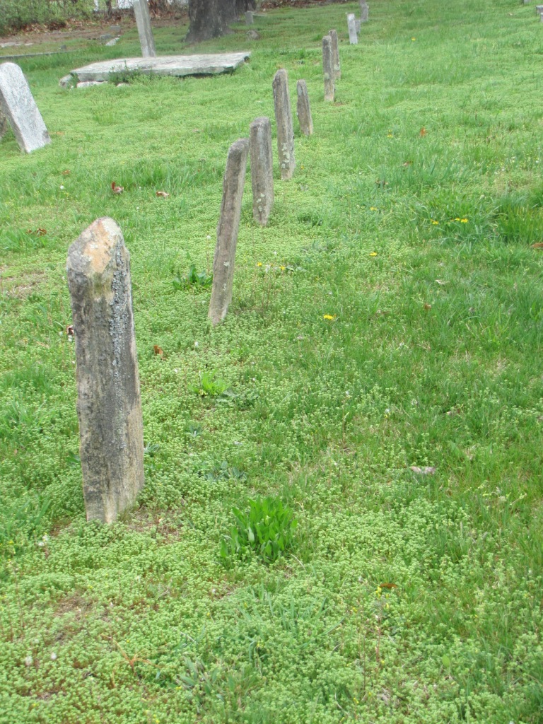
| Memorials | : | 7 |
| Location | : | Dana, Henderson County, USA |
| Coordinate | : | 35.3367271, -82.3744049 |
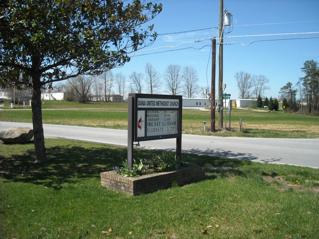
| Description | : | The Blue House Cemetery is located behind Dana United Methodist Church. The church is located at the intersection of Blue House Road and Ridge Road. |
frequently asked questions (FAQ):
-
Where is Dana United Methodist Church Cemetery?
Dana United Methodist Church Cemetery is located at Dana, Henderson County ,North Carolina ,USA.
-
Dana United Methodist Church Cemetery cemetery's updated grave count on graveviews.com?
7 memorials
-
Where are the coordinates of the Dana United Methodist Church Cemetery?
Latitude: 35.3367271
Longitude: -82.3744049


Nearby Cemetories:
1. Dana Baptist Church Cemetery
Dana, Henderson County, USA
Coordinate: 35.3395300, -82.3729300
2. Refuge Baptist Church Cemetery
Dana, Henderson County, USA
Coordinate: 35.3288002, -82.3751984
3. Hill Family Cemetery
Dana, Henderson County, USA
Coordinate: 35.3416300, -82.3652940
4. Basiewicz Family Cemetery
Dana, Henderson County, USA
Coordinate: 35.3343700, -82.3603700
5. Stepp Round Hill Cemetery
Hendersonville, Henderson County, USA
Coordinate: 35.3367483, -82.3464429
6. Stepp Cemetery
Hendersonville, Henderson County, USA
Coordinate: 35.3365000, -82.3464000
7. Hammett Family Cemetery
Upward, Henderson County, USA
Coordinate: 35.3090400, -82.3868630
8. Union Hill Holiness Baptist Church Cemetery
Hendersonville, Henderson County, USA
Coordinate: 35.3522000, -82.3395000
9. Tracy Grove Baptist Church
Henderson County, USA
Coordinate: 35.3142014, -82.4045029
10. Kings Grove Church Cemetery
Henderson County, USA
Coordinate: 35.3716740, -82.3685470
11. Jones Family Cemetery at Upward
Upward, Henderson County, USA
Coordinate: 35.3022003, -82.3855972
12. Bethel Wesleyan Church Cemetery
Henderson County, USA
Coordinate: 35.3157234, -82.4103165
13. Reese Bradley Cemetery
Dana, Henderson County, USA
Coordinate: 35.3386500, -82.3294800
14. Fair Haven Baptist Church Cemetery
Hendersonville, Henderson County, USA
Coordinate: 35.3447800, -82.4203100
15. Jones Cemetery at Sugarloaf
Henderson County, USA
Coordinate: 35.3669014, -82.3321991
16. Moores Grove Methodist Cemetery
Henderson County, USA
Coordinate: 35.3488007, -82.4318008
17. Seagle Cemetery
Henderson County, USA
Coordinate: 35.3553009, -82.4300003
18. Ebenezer Baptist Church Cemetery
Hendersonville, Henderson County, USA
Coordinate: 35.3498001, -82.4326019
19. Mills Cemetery
Henderson County, USA
Coordinate: 35.3863860, -82.3652670
20. Fruitland Cemetery
Henderson County, USA
Coordinate: 35.3833008, -82.4019012
21. Gilbert-Justus Family Cemetery
Upward, Henderson County, USA
Coordinate: 35.2861000, -82.3894380
22. Forest Lawn Memorial Park
Henderson County, USA
Coordinate: 35.3225403, -82.4362411
23. Edney-Coston Cemetery
Edneyville, Henderson County, USA
Coordinate: 35.3895250, -82.3550190
24. Asa Edney Family Cemetery
Edneyville, Henderson County, USA
Coordinate: 35.3928300, -82.3708000