
| Memorials | : | 0 |
| Location | : | Graham County, USA |
| Coordinate | : | 32.7724860, -109.2816950 |
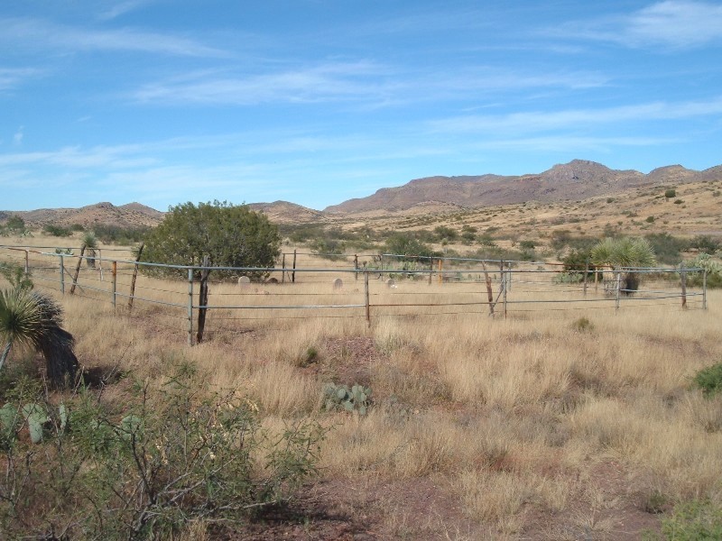
| Description | : | Ash Peak Cemetery is located on the south side of US HWY 70 , and is 12 1/2 miles from the intersection of HWY 70 and HWY 75 in Duncan, Arizona. The cemetery is just 4/10 (.4) of a mile west of mile post 367 which is also the Greenlee County line. That puts the cemetery in Graham County. |
frequently asked questions (FAQ):
-
Where is Ash Peak Cemetery?
Ash Peak Cemetery is located at US 70 Graham County ,Arizona , 85546USA.
-
Ash Peak Cemetery cemetery's updated grave count on graveviews.com?
0 memorials
-
Where are the coordinates of the Ash Peak Cemetery?
Latitude: 32.7724860
Longitude: -109.2816950
Nearby Cemetories:
1. Sheldon Cemetery
Duncan, Greenlee County, USA
Coordinate: 32.8193600, -109.1728900
2. Black Hills Byway Burial Site
Graham County, USA
Coordinate: 32.8455405, -109.4197850
3. Duncan Valley Cemetery
Duncan, Greenlee County, USA
Coordinate: 32.7075005, -109.0999985
4. Old Duncan Cemetery
Greenlee County, USA
Coordinate: 32.7113000, -109.0978000
5. Franklin Cemetery
Franklin, Greenlee County, USA
Coordinate: 32.6797791, -109.0851288
6. Earven Family Cemetery
Sanchez, Graham County, USA
Coordinate: 32.8654500, -109.5314600
7. Hill Family Cemetery
Grant County, USA
Coordinate: 32.8115300, -109.0078900
8. Serna Family Cemetery
Sanchez, Graham County, USA
Coordinate: 32.8696800, -109.5404400
9. Sanchez Cemetery
Sanchez, Graham County, USA
Coordinate: 32.8705300, -109.5426300
10. Molina Farm Cemetery
San Jose, Graham County, USA
Coordinate: 32.8456640, -109.5612950
11. Virden Cemetery
Virden, Hidalgo County, USA
Coordinate: 32.6923100, -109.0047800
12. Clifton Cemetery
Clifton, Greenlee County, USA
Coordinate: 33.0293999, -109.2647018
13. Garcia Family Cemetery
San Jose, Graham County, USA
Coordinate: 32.8184460, -109.5879840
14. San Jose Cemetery
San Jose, Graham County, USA
Coordinate: 32.8194008, -109.5888977
15. Virden Catholic Cemetery
Virden, Hidalgo County, USA
Coordinate: 32.6838913, -108.9832993
16. Metcalf Cemetery
Greenlee County, USA
Coordinate: 33.0438995, -109.3110962
17. Metcalf Indian Cemetery
Greenlee County, USA
Coordinate: 33.0445595, -109.3101807
18. Sacred Heart Cemetery
Clifton, Greenlee County, USA
Coordinate: 33.0491982, -109.3131027
19. Sacred Heart Church Columbarium
Clifton, Greenlee County, USA
Coordinate: 33.0555540, -109.3054630
20. Solomon Cemetery
Solomon, Graham County, USA
Coordinate: 32.8022003, -109.6224976
21. Bunkers Cemetery
Morenci, Greenlee County, USA
Coordinate: 33.0600014, -109.3392029
22. Epley Cemetery
Solomon, Graham County, USA
Coordinate: 32.8117100, -109.6261300
23. Old Morenci Mexicano Cemetery
Morenci, Greenlee County, USA
Coordinate: 33.0707000, -109.3731000
24. Posey Homestead Burial Site
Whitlock Cienega, Graham County, USA
Coordinate: 32.4536602, -109.3569780