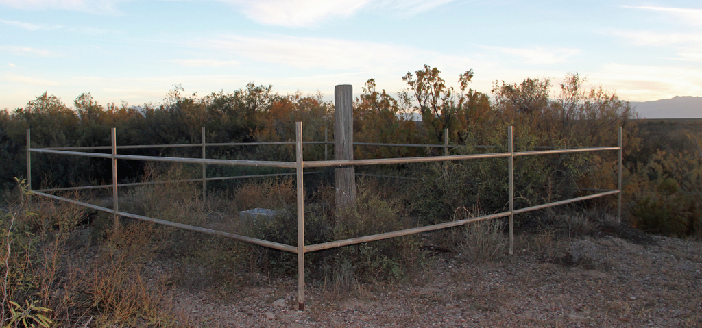
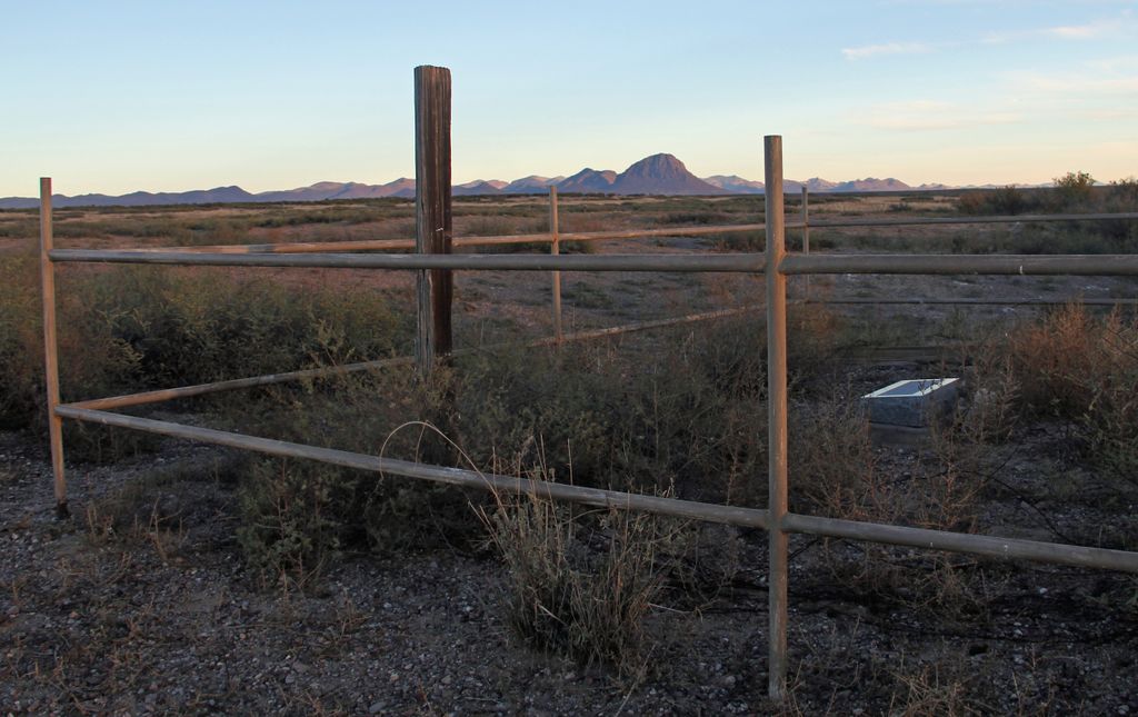
| Memorials | : | 0 |
| Location | : | Whitlock Cienega, Graham County, USA |
| Coordinate | : | 32.4536602, -109.3569780 |
| Description | : | Starting at the intersection of Hwy 191 and Hwy 70 in Safford - go east on Hwy 70 for 22.6 miles. Turn right or south on Hackberry Rd (unmarked dirt road) at GPS 32.751391,-109.3441523. In 2 miles make a slight left to stay on Hackberry Rd. In 5.1 miles you come to the Hackberry Ranch headquarters - meander west through the buildings and go through a Fish and Game gate and continue straight south on Hackberry Rd. In .2 miles turn left to stay on Hackberry Rd. In 15.4 miles turn right at GPS... Read More |
frequently asked questions (FAQ):
-
Where is Posey Homestead Burial Site?
Posey Homestead Burial Site is located at Whitlock Cienega, Graham County ,Arizona ,USA.
-
Posey Homestead Burial Site cemetery's updated grave count on graveviews.com?
0 memorials
-
Where are the coordinates of the Posey Homestead Burial Site?
Latitude: 32.4536602
Longitude: -109.3569780
Nearby Cemetories:
1. Bowie Desert Rest Cemetery
Bowie, Cochise County, USA
Coordinate: 32.3325005, -109.4858017
2. Homewood Cemetery
San Simon, Cochise County, USA
Coordinate: 32.2645000, -109.2463000
3. Railroad Cemetery
San Simon, Cochise County, USA
Coordinate: 32.2698750, -109.2301130
4. San Simon Butterfield Station
San Simon, Cochise County, USA
Coordinate: 32.2515000, -109.1999000
5. John James Gidding Gravesite
Cochise County, USA
Coordinate: 32.3375015, -109.0532990
6. Hurtado Family Ranch Cemetery
Dos Cabezas, Cochise County, USA
Coordinate: 32.1926920, -109.5641410
7. Fort Bowie National Historic Park
Bowie, Cochise County, USA
Coordinate: 32.1461110, -109.4355560
8. Fort Bowie Post Cemetery
Bowie, Cochise County, USA
Coordinate: 32.1466000, -109.4483000
9. Klump Family Ranch Cemetery
Willcox, Cochise County, USA
Coordinate: 32.2595090, -109.6538280
10. Franklin Cemetery
Franklin, Greenlee County, USA
Coordinate: 32.6797791, -109.0851288
11. Ash Peak Cemetery
Graham County, USA
Coordinate: 32.7724860, -109.2816950
12. Duncan Valley Cemetery
Duncan, Greenlee County, USA
Coordinate: 32.7075005, -109.0999985
13. Old Duncan Cemetery
Greenlee County, USA
Coordinate: 32.7113000, -109.0978000
14. Dos Cabezas Pioneer Cemetery
Dos Cabezas, Cochise County, USA
Coordinate: 32.1765000, -109.6241000
15. Artesia Cemetery
Artesia, Graham County, USA
Coordinate: 32.6875000, -109.6819000
16. Saint Paisius Orthodox Monastery Cemetery
Safford, Graham County, USA
Coordinate: 32.6970339, -109.6960528
17. Virden Cemetery
Virden, Hidalgo County, USA
Coordinate: 32.6923100, -109.0047800
18. Martin Ranch Cemetery
Willcox, Cochise County, USA
Coordinate: 32.2438770, -109.7383120
19. Steins Cemetery
Steins, Hidalgo County, USA
Coordinate: 32.2265053, -108.9865189
20. Virden Catholic Cemetery
Virden, Hidalgo County, USA
Coordinate: 32.6838913, -108.9832993
21. Black Hills Byway Burial Site
Graham County, USA
Coordinate: 32.8455405, -109.4197850
22. Sheldon Cemetery
Duncan, Greenlee County, USA
Coordinate: 32.8193600, -109.1728900
23. Brenner Cemetery
Safford, Graham County, USA
Coordinate: 32.7407700, -109.7037700
24. Garcia Family Cemetery
San Jose, Graham County, USA
Coordinate: 32.8184460, -109.5879840


