| Memorials | : | 0 |
| Location | : | Virden, Hidalgo County, USA |
| Coordinate | : | 32.6838913, -108.9832993 |
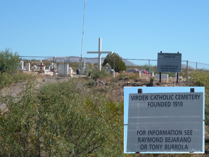
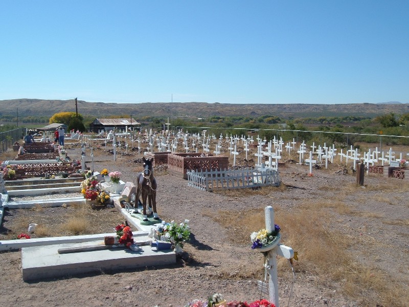
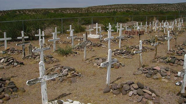
| Description | : | Virden Catholic Cemetery is in the very western part of New Mexico between Lordsburg, NM and Duncan, AZ. From the intersection of HWY 70 and HWY 75 in the middle of Duncan, go north on HWY 75 for 1/2 mile and then go east (right) on the Virden Road (about 150 yards past the bridge). From here to the Virden Catholic Cemetery it is 7.8 miles and the cemetery is just east of NM92 mile marker 4 and is just north (left) of the road on a little rise. |
frequently asked questions (FAQ):
-
Where is Virden Catholic Cemetery?
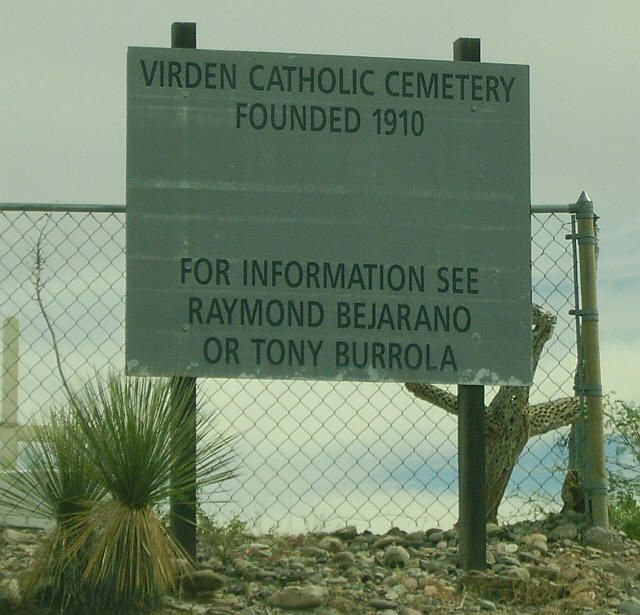
Virden Catholic Cemetery is located at Virden, Hidalgo County ,New Mexico ,USA.
-
Virden Catholic Cemetery cemetery's updated grave count on graveviews.com?
0 memorials
-
Where are the coordinates of the Virden Catholic Cemetery?
Latitude: 32.6838913
Longitude: -108.9832993
Nearby Cemetories:
1. Virden Cemetery
Virden, Hidalgo County, USA
Coordinate: 32.6923100, -109.0047800
2. Franklin Cemetery
Franklin, Greenlee County, USA
Coordinate: 32.6797791, -109.0851288
3. Old Duncan Cemetery
Greenlee County, USA
Coordinate: 32.7113000, -109.0978000
4. Duncan Valley Cemetery
Duncan, Greenlee County, USA
Coordinate: 32.7075005, -109.0999985
5. Hill Family Cemetery
Grant County, USA
Coordinate: 32.8115300, -109.0078900
6. Sheldon Cemetery
Duncan, Greenlee County, USA
Coordinate: 32.8193600, -109.1728900
7. Redrock Cemetery
Redrock, Grant County, USA
Coordinate: 32.7083015, -108.7024994
8. Ash Peak Cemetery
Graham County, USA
Coordinate: 32.7724860, -109.2816950
9. Billings Cemetery
Gila, Grant County, USA
Coordinate: 32.8129900, -108.5989700
10. John James Gidding Gravesite
Cochise County, USA
Coordinate: 32.3375015, -109.0532990
11. Clark Cemetery
Grant County, USA
Coordinate: 32.8828011, -108.5975037
12. Posey Homestead Burial Site
Whitlock Cienega, Graham County, USA
Coordinate: 32.4536602, -109.3569780
13. Mountain View Cemetery
Lordsburg, Hidalgo County, USA
Coordinate: 32.3642006, -108.7155991
14. Black Hills Byway Burial Site
Graham County, USA
Coordinate: 32.8455405, -109.4197850
15. Dinwiddie Cemetery
Cliff, Grant County, USA
Coordinate: 32.9849740, -108.6500240
16. Fort West Burial Ground
Cliff, Grant County, USA
Coordinate: 32.9430556, -108.6008333
17. Stout Cemetery
Cliff, Grant County, USA
Coordinate: 32.9682999, -108.6258011
18. Clifton Cemetery
Clifton, Greenlee County, USA
Coordinate: 33.0293999, -109.2647018
19. Shakespeare Cemetery
Lordsburg, Hidalgo County, USA
Coordinate: 32.3253906, -108.7260444
20. Mesa Cemetery
Gila, Grant County, USA
Coordinate: 32.9489500, -108.5872100
21. Cliff Gila Catholic Cemetery
Gila, Grant County, USA
Coordinate: 32.9493910, -108.5831140
22. Mule Creek Cemetery
Mule Creek, Grant County, USA
Coordinate: 33.1208530, -108.9548000
23. Metcalf Cemetery
Greenlee County, USA
Coordinate: 33.0438995, -109.3110962
24. Metcalf Indian Cemetery
Greenlee County, USA
Coordinate: 33.0445595, -109.3101807


