| Memorials | : | 1 |
| Location | : | Providence, Grayson County, USA |
| Coordinate | : | 36.7177040, -81.0300000 |
| Description | : | From the intersection of Atkins Lane (VA Route 788) and Bainbridge Road (VA Route 649), travel approximately 0.18 miles on Atkins Lane; the church and cemetery will be on the left. |
frequently asked questions (FAQ):
-
Where is Atkins Memorial United Methodist Church Cemetery?
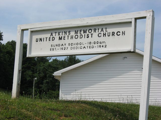
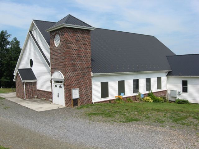
Atkins Memorial United Methodist Church Cemetery is located at 199 Atkins Lane Providence, Grayson County ,Virginia , 24330USA.
-
Atkins Memorial United Methodist Church Cemetery cemetery's updated grave count on graveviews.com?
1 memorials
-
Where are the coordinates of the Atkins Memorial United Methodist Church Cemetery?
Latitude: 36.7177040
Longitude: -81.0300000
Nearby Cemetories:
1. Joel Mallory Family Cemetery
Providence, Grayson County, USA
Coordinate: 36.7219470, -81.0259030
2. Taylor's Chapel Cemetery
Fries, Grayson County, USA
Coordinate: 36.7229260, -81.0160700
3. Isaac Moore Cemetery
Oldtown, Grayson County, USA
Coordinate: 36.7308480, -81.0213280
4. Providence Cemetery at Providence United Methodist
Fries, Grayson County, USA
Coordinate: 36.6977997, -81.0152969
5. Creed Carrico Family Cemetery
Oldtown, Grayson County, USA
Coordinate: 36.7291980, -81.0045550
6. Combs Family Cemetery
Fries, Grayson County, USA
Coordinate: 36.6982817, -81.0476962
7. Stevens Creek United Methodist Church Cemetery
Fries, Grayson County, USA
Coordinate: 36.7319400, -80.9993500
8. Stevens Creek Church of God of Prophecy Cemetery
Fries, Grayson County, USA
Coordinate: 36.7267880, -80.9963810
9. Liberty Hill United Methodist Church Cemetery
Fries, Grayson County, USA
Coordinate: 36.7426380, -81.0113680
10. Ring Family Cemetery
Fries, Grayson County, USA
Coordinate: 36.6876140, -81.0351740
11. Hill Family Cemetery
Fries, Grayson County, USA
Coordinate: 36.7240950, -80.9918060
12. Funk Family Cemetery
Providence, Grayson County, USA
Coordinate: 36.7006100, -80.9940600
13. Elbert Carico Cemetery
Providence, Grayson County, USA
Coordinate: 36.6895760, -81.0066070
14. James Byrd Cemetery
Fries, Grayson County, USA
Coordinate: 36.7416611, -80.9961777
15. Ebenezer United Methodist Church Cemetery
Grayson County, USA
Coordinate: 36.7403970, -81.0702860
16. Bourn-Padgett Cemetery
Fries, Grayson County, USA
Coordinate: 36.6847290, -81.0025010
17. Ebenezer Cemetery
Grayson County, USA
Coordinate: 36.7400017, -81.0717010
18. Arthur Hill Cemetery
Fries, Grayson County, USA
Coordinate: 36.7293530, -80.9819040
19. Stephen G. Bourne Cemetery
Fries, Grayson County, USA
Coordinate: 36.7353430, -81.0753090
20. Minitree Jones Cemetery
Providence, Grayson County, USA
Coordinate: 36.6755930, -81.0263600
21. Abel Carrico IV Cemetery
Carsonville, Grayson County, USA
Coordinate: 36.6797000, -81.0548800
22. Fries Pentecostal Holiness Church Cemetery
Fries, Grayson County, USA
Coordinate: 36.7276159, -80.9753638
23. Fries Pentacostal Holiness Church
Fries Junction, Carroll County, USA
Coordinate: 36.7276060, -80.9753420
24. Beulah Cemetery
Fries, Grayson County, USA
Coordinate: 36.6989690, -80.9789760


