| Memorials | : | 1 |
| Location | : | Oldtown, Grayson County, USA |
| Coordinate | : | 36.7308480, -81.0213280 |
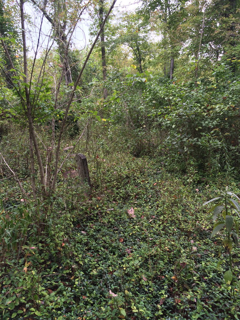
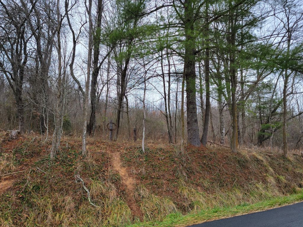
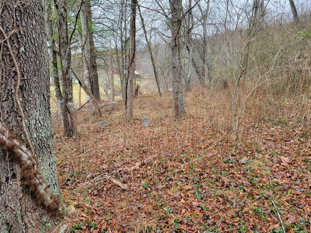
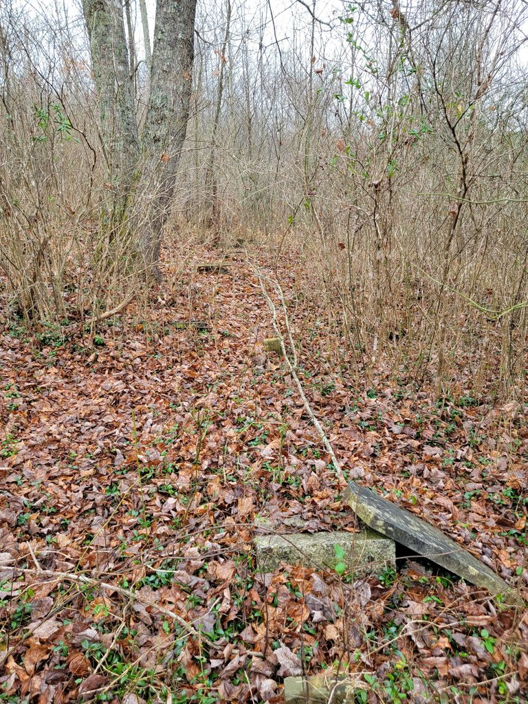
| Description | : | Directions: From the junction of Bainbridge Rd (Rt 649) and Taylor Chapel Rd (Rt 646) turn onto Taylor Chapel Rd and go north 0.3 mile. The cemetery is on left of road. GPS Coordinates: N36.7308374 W81.0213419 Surveyed by: Ginger Ballard on 9 April 2004 and combined with info from Paul Herndon's files Comments: This cemetery is close to the road and surrounded by woods, making it unvisible from the road. It is badly overgrown with briars and brush tangled in the trees that have fallen into the cemetery. Most stones have fallen. |
frequently asked questions (FAQ):
-
Where is Isaac Moore Cemetery?
Isaac Moore Cemetery is located at Taylors Chapel Road (Rt. 646) Oldtown, Grayson County ,Virginia , 24330USA.
-
Isaac Moore Cemetery cemetery's updated grave count on graveviews.com?
1 memorials
-
Where are the coordinates of the Isaac Moore Cemetery?
Latitude: 36.7308480
Longitude: -81.0213280
Nearby Cemetories:
1. Taylor's Chapel Cemetery
Fries, Grayson County, USA
Coordinate: 36.7229260, -81.0160700
2. Joel Mallory Family Cemetery
Providence, Grayson County, USA
Coordinate: 36.7219470, -81.0259030
3. Creed Carrico Family Cemetery
Oldtown, Grayson County, USA
Coordinate: 36.7291980, -81.0045550
4. Liberty Hill United Methodist Church Cemetery
Fries, Grayson County, USA
Coordinate: 36.7426380, -81.0113680
5. Atkins Memorial United Methodist Church Cemetery
Providence, Grayson County, USA
Coordinate: 36.7177040, -81.0300000
6. Stevens Creek United Methodist Church Cemetery
Fries, Grayson County, USA
Coordinate: 36.7319400, -80.9993500
7. Stevens Creek Church of God of Prophecy Cemetery
Fries, Grayson County, USA
Coordinate: 36.7267880, -80.9963810
8. James Byrd Cemetery
Fries, Grayson County, USA
Coordinate: 36.7416611, -80.9961777
9. Hill Family Cemetery
Fries, Grayson County, USA
Coordinate: 36.7240950, -80.9918060
10. Arthur Hill Cemetery
Fries, Grayson County, USA
Coordinate: 36.7293530, -80.9819040
11. Providence Cemetery at Providence United Methodist
Fries, Grayson County, USA
Coordinate: 36.6977997, -81.0152969
12. Fries Pentecostal Holiness Church Cemetery
Fries, Grayson County, USA
Coordinate: 36.7276159, -80.9753638
13. Fries Pentacostal Holiness Church
Fries Junction, Carroll County, USA
Coordinate: 36.7276060, -80.9753420
14. Funk Family Cemetery
Providence, Grayson County, USA
Coordinate: 36.7006100, -80.9940600
15. Combs Family Cemetery
Fries, Grayson County, USA
Coordinate: 36.6982817, -81.0476962
16. Ebenezer United Methodist Church Cemetery
Grayson County, USA
Coordinate: 36.7403970, -81.0702860
17. Ebenezer Cemetery
Grayson County, USA
Coordinate: 36.7400017, -81.0717010
18. Elbert Carico Cemetery
Providence, Grayson County, USA
Coordinate: 36.6895760, -81.0066070
19. Stephen G. Bourne Cemetery
Fries, Grayson County, USA
Coordinate: 36.7353430, -81.0753090
20. Ring Family Cemetery
Fries, Grayson County, USA
Coordinate: 36.6876140, -81.0351740
21. Fries Cemetery
Fries, Grayson County, USA
Coordinate: 36.7108002, -80.9702988
22. Beulah Cemetery
Fries, Grayson County, USA
Coordinate: 36.6989690, -80.9789760
23. Bourn-Padgett Cemetery
Fries, Grayson County, USA
Coordinate: 36.6847290, -81.0025010
24. Dixon Family Cemetery
Fries Junction, Carroll County, USA
Coordinate: 36.7249900, -80.9569620


