
| Memorials | : | 6 |
| Location | : | Fries, Grayson County, USA |
| Coordinate | : | 36.7353430, -81.0753090 |
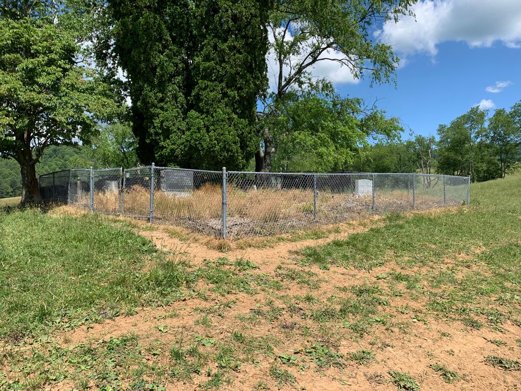
| Description | : | This cemetery is in the Ebenezer community of Spring Valley in Grayson Co., VA Located 6.8 miles east of Elk Creek Parkway (US 21 S) on Spring Valley Road (Route 805) to Leafwood Road (Route 651). Cemetery on a hill 0.5 mile to the north in a pasture field with access from Liberty Hill Road (Route 777) east of the cemetery. |
frequently asked questions (FAQ):
-
Where is Stephen G. Bourne Cemetery?
Stephen G. Bourne Cemetery is located at Spring Valley Road (Rt. 805) Fries, Grayson County ,Virginia , 24330USA.
-
Stephen G. Bourne Cemetery cemetery's updated grave count on graveviews.com?
6 memorials
-
Where are the coordinates of the Stephen G. Bourne Cemetery?
Latitude: 36.7353430
Longitude: -81.0753090
Nearby Cemetories:
1. Ebenezer Cemetery
Grayson County, USA
Coordinate: 36.7400017, -81.0717010
2. Ebenezer United Methodist Church Cemetery
Grayson County, USA
Coordinate: 36.7403970, -81.0702860
3. Fielder Cemetery
Fallville, Grayson County, USA
Coordinate: 36.7433790, -81.1012350
4. Old Pool Cemetery
Elk Creek, Grayson County, USA
Coordinate: 36.7288370, -81.1073930
5. Byrd Family Cemetery
Fallville, Grayson County, USA
Coordinate: 36.7509003, -81.1037979
6. Jerusalem United Methodist Church Cemetery
Elk Creek, Grayson County, USA
Coordinate: 36.7456017, -81.1125031
7. William Billy Buck Bourne Cemetery
Elk Creek, Grayson County, USA
Coordinate: 36.7402740, -81.1241160
8. Atkins Memorial United Methodist Church Cemetery
Providence, Grayson County, USA
Coordinate: 36.7177040, -81.0300000
9. Hines Branch Cemetery
Elk Creek, Grayson County, USA
Coordinate: 36.7105480, -81.1155940
10. Joel Mallory Family Cemetery
Providence, Grayson County, USA
Coordinate: 36.7219470, -81.0259030
11. Combs Family Cemetery
Fries, Grayson County, USA
Coordinate: 36.6982817, -81.0476962
12. Andrew Funk Cemetery
Elk Creek, Grayson County, USA
Coordinate: 36.7189360, -81.1254560
13. Isaac Moore Cemetery
Oldtown, Grayson County, USA
Coordinate: 36.7308480, -81.0213280
14. Tolbert Wright Cemetery
Carsonville, Grayson County, USA
Coordinate: 36.6915240, -81.0799330
15. Reece Vaught Family Cemetery
Fallville, Grayson County, USA
Coordinate: 36.7417580, -81.1311460
16. Summerfield United Methodist Church Cemetery
Fries, Grayson County, USA
Coordinate: 36.6963200, -81.1046600
17. Wysong Family Cemetery
Fallville, Grayson County, USA
Coordinate: 36.7551450, -81.1275500
18. Francis Cornett Family Cemetery
Fallville, Grayson County, USA
Coordinate: 36.7354430, -81.1344060
19. Jackson Family Cemetery
Elk Creek, Grayson County, USA
Coordinate: 36.7258090, -81.1352080
20. Taylor's Chapel Cemetery
Fries, Grayson County, USA
Coordinate: 36.7229260, -81.0160700
21. Liberty Hill United Methodist Church Cemetery
Fries, Grayson County, USA
Coordinate: 36.7426380, -81.0113680
22. Cold Springs United Methodist Church Cemetery
Grayson County, USA
Coordinate: 36.7808920, -81.0422940
23. Old Fulton Cemetery
Peach Bottom, Grayson County, USA
Coordinate: 36.6932930, -81.1172570
24. Creed Carrico Family Cemetery
Oldtown, Grayson County, USA
Coordinate: 36.7291980, -81.0045550