
| Memorials | : | 13 |
| Location | : | Layland, Coshocton County, USA |
| Coordinate | : | 40.4338989, -82.0081024 |
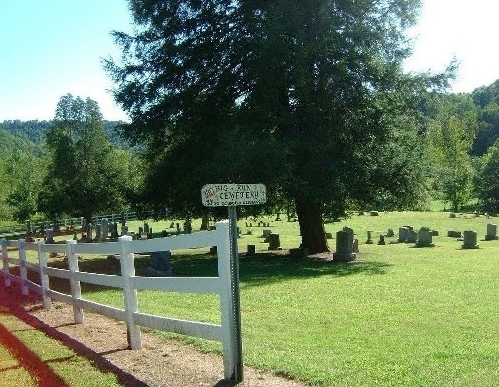
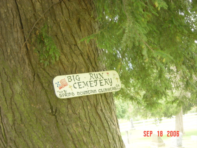
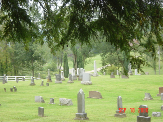
| Description | : | The cemetery is located on the east side of County Road 19 about 0.3 miles west of its junction with Township Road 323. The cemetery is located in Monroe Township, Coshocton County, Ohio, and is # 2312 (Big Run Cemetery / Methodist Protestant Cemetery / Mount Pisquah Cemetery) in “Ohio Cemeteries 1803-2003”, compiled by the Ohio Genealogical Society. The U.S. Geological Survey (USGS) Geographic Names Information System (GNIS) feature ID for the cemetery is 1038035 (Big Run Cemetery). |
frequently asked questions (FAQ):
-
Where is Big Run Cemetery?
Big Run Cemetery is located at County Road 19 Layland, Coshocton County ,Ohio , 44637USA.
-
Big Run Cemetery cemetery's updated grave count on graveviews.com?
13 memorials
-
Where are the coordinates of the Big Run Cemetery?
Latitude: 40.4338989
Longitude: -82.0081024
Nearby Cemetories:
1. Pleasant Hill Cemetery
Coshocton County, USA
Coordinate: 40.4225006, -82.0038986
2. Spring Mountain Cemetery
Spring Mountain, Coshocton County, USA
Coordinate: 40.4053800, -82.0439000
3. Monroe Cemetery
Coshocton County, USA
Coordinate: 40.4508018, -82.0580978
4. Salem Cemetery
Holmes County, USA
Coordinate: 40.4500008, -81.9480972
5. Blissfield Cemetery
Blissfield, Coshocton County, USA
Coordinate: 40.3927994, -81.9728012
6. Weatherwax Cemetery
Clark, Coshocton County, USA
Coordinate: 40.3839560, -81.9918080
7. Bucklew Cemetery
Metham, Coshocton County, USA
Coordinate: 40.3849983, -81.9858017
8. Saint Elizabeth Mission Cemetery
Spring Mountain, Coshocton County, USA
Coordinate: 40.3817900, -82.0108300
9. Harmony Cemetery
Coshocton County, USA
Coordinate: 40.4277992, -82.0819016
10. Wolf Creek Cemetery
Holmes County, USA
Coordinate: 40.4795410, -82.0522280
11. Fox Cemetery
Blissfield, Coshocton County, USA
Coordinate: 40.4035988, -81.9424973
12. Killbuck Cemetery
Killbuck, Holmes County, USA
Coordinate: 40.4958520, -81.9808390
13. Clark Township Baptist Church Cemetery
Clark, Coshocton County, USA
Coordinate: 40.4126680, -81.9229260
14. Stillwell Cemetery
Holmes County, USA
Coordinate: 40.4603430, -82.0951510
15. Dutch Meeting House Cemetery
Warsaw, Coshocton County, USA
Coordinate: 40.3796207, -81.9459337
16. Bethel Cemetery
Warsaw, Coshocton County, USA
Coordinate: 40.3615800, -82.0165150
17. Pleasant Grove Cemetery
Killbuck, Holmes County, USA
Coordinate: 40.4933900, -81.9495843
18. Austin Family Cemetery
Clark, Coshocton County, USA
Coordinate: 40.4422900, -81.9105570
19. Gwin Cemetery
Millersburg, Holmes County, USA
Coordinate: 40.4679600, -81.9203500
20. Shrimplin Cemetery
Killbuck, Holmes County, USA
Coordinate: 40.5086520, -81.9953000
21. Dutch Run Cemetery
Tiverton Township, Coshocton County, USA
Coordinate: 40.4021988, -82.1072006
22. Emerick Farm Cemetery
Killbuck, Holmes County, USA
Coordinate: 40.5157060, -81.9998380
23. Clark Cemetery
Clark, Coshocton County, USA
Coordinate: 40.4444008, -81.8968964
24. Bucy Cemetery
Glenmont, Holmes County, USA
Coordinate: 40.4903421, -82.0948743