
| Memorials | : | 0 |
| Location | : | Stone, Oneida County, USA |
| Coordinate | : | 42.0772300, -112.7144500 |
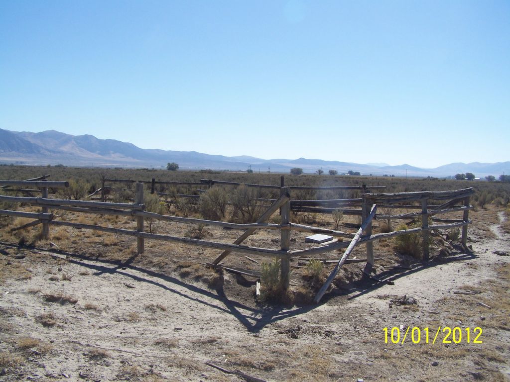
| Description | : | To reach this cemetery, go north on the Stone Road to 8500 South (running east/west). You will almost be to the turnoff to the Stone Reservoir. At the intersection of 23000 West (running north/south) and 8500 South, go west one mile to 24000 West (running north/south). Go north on dirt road (24000 West) 1.3 miles to pole fence on east side of road surrounding cemetery. N.42.04.637 W.112.42.874 |
frequently asked questions (FAQ):
-
Where is Baggett-Oliver Cemetery?
Baggett-Oliver Cemetery is located at Stone, Oneida County ,Idaho ,USA.
-
Baggett-Oliver Cemetery cemetery's updated grave count on graveviews.com?
0 memorials
-
Where are the coordinates of the Baggett-Oliver Cemetery?
Latitude: 42.0772300
Longitude: -112.7144500
Nearby Cemetories:
1. Stone Reservoir Cemetery
Stone, Oneida County, USA
Coordinate: 42.0663000, -112.6847500
2. Goss-Smith Cemetery
Stone, Oneida County, USA
Coordinate: 42.0950200, -112.6819300
3. Holbrook Cemetery
Holbrook, Oneida County, USA
Coordinate: 42.1528015, -112.6656036
4. Snowville Cemetery
Snowville, Box Elder County, USA
Coordinate: 41.9841995, -112.7256012
5. Juniper Cemetery
Oneida County, USA
Coordinate: 42.1449500, -112.9658000
6. Black Pine Cemetery
Oneida County, USA
Coordinate: 42.0489500, -112.9844000
7. Samaria City Cemetery
Samaria, Oneida County, USA
Coordinate: 42.1122131, -112.3486023
8. Pleasant View Cemetery
Pleasantview, Oneida County, USA
Coordinate: 42.1545320, -112.3370690
9. Palmer Ranch Family Cemetery
Malad City, Oneida County, USA
Coordinate: 42.1762230, -112.3208040
10. Saint John Cemetery
Saint Johns, Oneida County, USA
Coordinate: 42.2132072, -112.2890015
11. Howell Cemetery
Howell, Box Elder County, USA
Coordinate: 41.7959000, -112.4360000
12. Portage Cemetery
Portage, Box Elder County, USA
Coordinate: 41.9763985, -112.2566986
13. Malad City Cemetery
Malad City, Oneida County, USA
Coordinate: 42.1796989, -112.2313995
14. Cherry Creek Cemetery
Cherry Creek, Oneida County, USA
Coordinate: 42.0950737, -112.2100677
15. Washakie Cemetery
Washakie, Box Elder County, USA
Coordinate: 41.9453011, -112.2332993
16. Oneida County Burial Site
Oneida County, USA
Coordinate: 42.0014572, -112.1986008
17. Sublett Cemetery
Sublett, Cassia County, USA
Coordinate: 42.3170000, -113.1375000
18. Arbon Valley Cemetery
Arbon, Power County, USA
Coordinate: 42.4628000, -112.5858000
19. Early Plymouth Cemetery
Washakie, Box Elder County, USA
Coordinate: 41.9464417, -112.1716461
20. Clear Creek Cemetery
Box Elder County, USA
Coordinate: 41.9892000, -113.2754000
21. Kelton Cemetery
Kelton, Box Elder County, USA
Coordinate: 41.7461014, -113.1108017
22. Plymouth Cemetery
Plymouth, Box Elder County, USA
Coordinate: 41.8857994, -112.1742020
23. Olson Cemetery
Cassia County, USA
Coordinate: 42.1258011, -113.3582993
24. Valley View Cemetery
Bothwell, Box Elder County, USA
Coordinate: 41.7093735, -112.2971191