
| Memorials | : | 0 |
| Location | : | Stone, Oneida County, USA |
| Coordinate | : | 42.0663000, -112.6847500 |
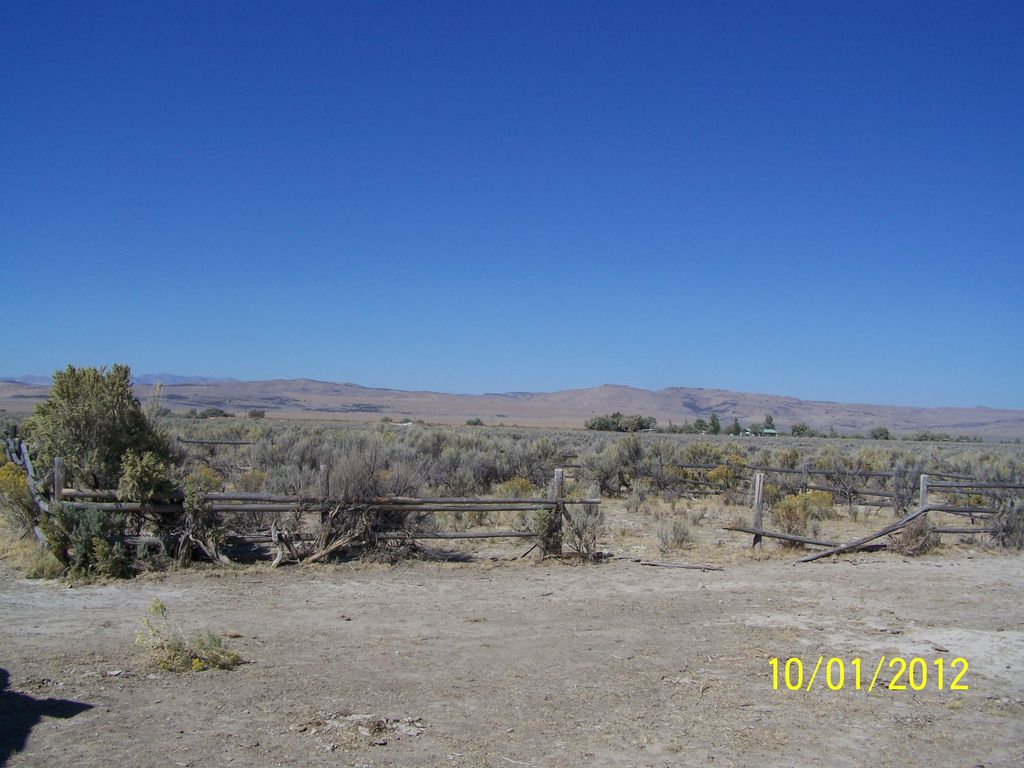
| Description | : | This cemetery has a pole fence around it. There are no headstones, and no known burial records. The information on the burials here are from local anecdotal stories, and also from a newspaper article in the Idaho Enterprise (Malad, Idaho), July 19, 2012, Page 6, by Joan Williams. Also said to be buried here are "some Knudsens who used to live in Stone" (Idaho Enterprise, July 19, 1012, p. 6). Directions: Go to the turnoff for the Stone Reservoir campground, turn north like you are going to the campground (you will be on Road 22500 West), go north 1/2 mile,... Read More |
frequently asked questions (FAQ):
-
Where is Stone Reservoir Cemetery?
Stone Reservoir Cemetery is located at Road 2250 W Stone, Oneida County ,Idaho , 83243USA.
-
Stone Reservoir Cemetery cemetery's updated grave count on graveviews.com?
0 memorials
-
Where are the coordinates of the Stone Reservoir Cemetery?
Latitude: 42.0663000
Longitude: -112.6847500
Nearby Cemetories:
1. Baggett-Oliver Cemetery
Stone, Oneida County, USA
Coordinate: 42.0772300, -112.7144500
2. Goss-Smith Cemetery
Stone, Oneida County, USA
Coordinate: 42.0950200, -112.6819300
3. Snowville Cemetery
Snowville, Box Elder County, USA
Coordinate: 41.9841995, -112.7256012
4. Holbrook Cemetery
Holbrook, Oneida County, USA
Coordinate: 42.1528015, -112.6656036
5. Juniper Cemetery
Oneida County, USA
Coordinate: 42.1449500, -112.9658000
6. Black Pine Cemetery
Oneida County, USA
Coordinate: 42.0489500, -112.9844000
7. Samaria City Cemetery
Samaria, Oneida County, USA
Coordinate: 42.1122131, -112.3486023
8. Pleasant View Cemetery
Pleasantview, Oneida County, USA
Coordinate: 42.1545320, -112.3370690
9. Palmer Ranch Family Cemetery
Malad City, Oneida County, USA
Coordinate: 42.1762230, -112.3208040
10. Howell Cemetery
Howell, Box Elder County, USA
Coordinate: 41.7959000, -112.4360000
11. Saint John Cemetery
Saint Johns, Oneida County, USA
Coordinate: 42.2132072, -112.2890015
12. Portage Cemetery
Portage, Box Elder County, USA
Coordinate: 41.9763985, -112.2566986
13. Cherry Creek Cemetery
Cherry Creek, Oneida County, USA
Coordinate: 42.0950737, -112.2100677
14. Malad City Cemetery
Malad City, Oneida County, USA
Coordinate: 42.1796989, -112.2313995
15. Washakie Cemetery
Washakie, Box Elder County, USA
Coordinate: 41.9453011, -112.2332993
16. Oneida County Burial Site
Oneida County, USA
Coordinate: 42.0014572, -112.1986008
17. Early Plymouth Cemetery
Washakie, Box Elder County, USA
Coordinate: 41.9464417, -112.1716461
18. Arbon Valley Cemetery
Arbon, Power County, USA
Coordinate: 42.4628000, -112.5858000
19. Sublett Cemetery
Sublett, Cassia County, USA
Coordinate: 42.3170000, -113.1375000
20. Plymouth Cemetery
Plymouth, Box Elder County, USA
Coordinate: 41.8857994, -112.1742020
21. Clear Creek Cemetery
Box Elder County, USA
Coordinate: 41.9892000, -113.2754000
22. Kelton Cemetery
Kelton, Box Elder County, USA
Coordinate: 41.7461014, -113.1108017
23. Valley View Cemetery
Bothwell, Box Elder County, USA
Coordinate: 41.7093735, -112.2971191
24. James Barnet Cole Burial Ground
Plymouth, Box Elder County, USA
Coordinate: 41.8786000, -112.0943000