
| Memorials | : | 0 |
| Location | : | Stone, Oneida County, USA |
| Coordinate | : | 42.0950200, -112.6819300 |
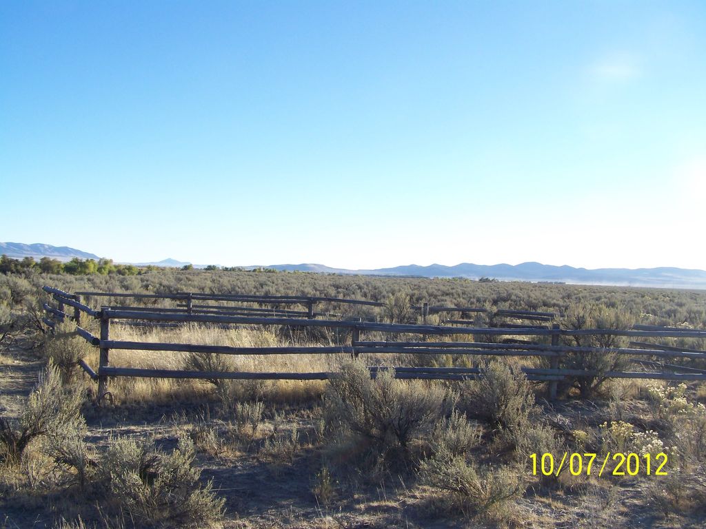
| Description | : | Go north through Stone to the intersection of 23000 West (running north/south) and 8500 South (running east/west). You will almost be to the Stone Reservoir turnoff, but if you get this far, you need to turn around and go straight west. Go one mile more to 24000 West (running north/south) and take this dirt road north one mile. Go over the cattle guard, turn east on the one lane dirt road (Spur 011) and stay on main road for 2.4 miles to pole fence surrounding cemetery. You can also reach this site by going to the Holbrook (Idaho)... Read More |
frequently asked questions (FAQ):
-
Where is Goss-Smith Cemetery?
Goss-Smith Cemetery is located at Forest Road 011 Stone, Oneida County ,Idaho , 83243USA.
-
Goss-Smith Cemetery cemetery's updated grave count on graveviews.com?
0 memorials
-
Where are the coordinates of the Goss-Smith Cemetery?
Latitude: 42.0950200
Longitude: -112.6819300
Nearby Cemetories:
1. Stone Reservoir Cemetery
Stone, Oneida County, USA
Coordinate: 42.0663000, -112.6847500
2. Baggett-Oliver Cemetery
Stone, Oneida County, USA
Coordinate: 42.0772300, -112.7144500
3. Holbrook Cemetery
Holbrook, Oneida County, USA
Coordinate: 42.1528015, -112.6656036
4. Snowville Cemetery
Snowville, Box Elder County, USA
Coordinate: 41.9841995, -112.7256012
5. Juniper Cemetery
Oneida County, USA
Coordinate: 42.1449500, -112.9658000
6. Black Pine Cemetery
Oneida County, USA
Coordinate: 42.0489500, -112.9844000
7. Samaria City Cemetery
Samaria, Oneida County, USA
Coordinate: 42.1122131, -112.3486023
8. Pleasant View Cemetery
Pleasantview, Oneida County, USA
Coordinate: 42.1545320, -112.3370690
9. Palmer Ranch Family Cemetery
Malad City, Oneida County, USA
Coordinate: 42.1762230, -112.3208040
10. Saint John Cemetery
Saint Johns, Oneida County, USA
Coordinate: 42.2132072, -112.2890015
11. Portage Cemetery
Portage, Box Elder County, USA
Coordinate: 41.9763985, -112.2566986
12. Malad City Cemetery
Malad City, Oneida County, USA
Coordinate: 42.1796989, -112.2313995
13. Cherry Creek Cemetery
Cherry Creek, Oneida County, USA
Coordinate: 42.0950737, -112.2100677
14. Howell Cemetery
Howell, Box Elder County, USA
Coordinate: 41.7959000, -112.4360000
15. Washakie Cemetery
Washakie, Box Elder County, USA
Coordinate: 41.9453011, -112.2332993
16. Oneida County Burial Site
Oneida County, USA
Coordinate: 42.0014572, -112.1986008
17. Arbon Valley Cemetery
Arbon, Power County, USA
Coordinate: 42.4628000, -112.5858000
18. Sublett Cemetery
Sublett, Cassia County, USA
Coordinate: 42.3170000, -113.1375000
19. Early Plymouth Cemetery
Washakie, Box Elder County, USA
Coordinate: 41.9464417, -112.1716461
20. Plymouth Cemetery
Plymouth, Box Elder County, USA
Coordinate: 41.8857994, -112.1742020
21. Clear Creek Cemetery
Box Elder County, USA
Coordinate: 41.9892000, -113.2754000
22. Kelton Cemetery
Kelton, Box Elder County, USA
Coordinate: 41.7461014, -113.1108017
23. Pauline Cemetery
Power County, USA
Coordinate: 42.5609000, -112.5605500
24. Valley View Cemetery
Bothwell, Box Elder County, USA
Coordinate: 41.7093735, -112.2971191