
| Memorials | : | 2 |
| Location | : | Eriline, Clay County, USA |
| Coordinate | : | 37.2079200, -83.6295900 |
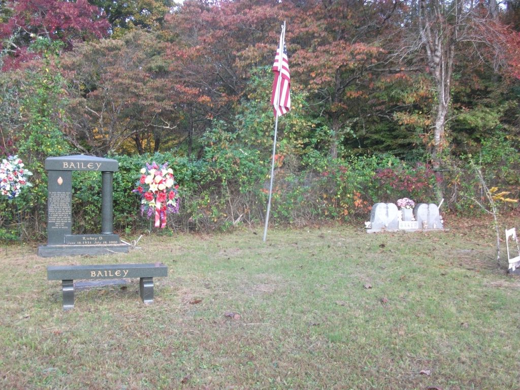
| Description | : | The Baker Hill Cemetery is located on Banks Branch.If you come from the Hal Rogers Parkway at Big Creek you turn left toward Oneida and go about 5.5 miles and turn left on Banks Branch Rd. If coming from Oneida you turn right on KY 66 and go approximately 8 miles and turn right on Banks Branch Rd. Once you are on the Banks Br. Rd. go about .6 of a mile staying left until you pass the Hudson Cemetery. You should see a sign pointing right to Blevins Hensley Cemetery. Go down that road about .1 of a mile.... Read More |
frequently asked questions (FAQ):
-
Where is Baker Hill Cemetery?
Baker Hill Cemetery is located at Eriline, Clay County ,Kentucky ,USA.
-
Baker Hill Cemetery cemetery's updated grave count on graveviews.com?
2 memorials
-
Where are the coordinates of the Baker Hill Cemetery?
Latitude: 37.2079200
Longitude: -83.6295900
Nearby Cemetories:
1. Blevins Hensley Cemetery
Eriline, Clay County, USA
Coordinate: 37.2081300, -83.6292900
2. Nick Hudson Cemetery
Eriline, Clay County, USA
Coordinate: 37.2103100, -83.6287200
3. John Henry Langdon Cemetery
Spurlock, Clay County, USA
Coordinate: 37.2126900, -83.6321400
4. Hensley Family Cemetery
Spurlock, Clay County, USA
Coordinate: 37.2050500, -83.6193000
5. Lincoln Gilbert Cemetery
Spurlock, Clay County, USA
Coordinate: 37.2178100, -83.6276900
6. William C Gilbert Cemetery
Spurlock, Clay County, USA
Coordinate: 37.2218800, -83.6235500
7. Daniel Baker Cemetery
Barcreek, Clay County, USA
Coordinate: 37.2244000, -83.6268700
8. Andy Baker Cemetery
Barcreek, Clay County, USA
Coordinate: 37.2246100, -83.6333700
9. Reuben Baker Cemetery
Barcreek, Clay County, USA
Coordinate: 37.2251000, -83.6325900
10. Phillip Wilson Cemetery
Barcreek, Clay County, USA
Coordinate: 37.2262600, -83.6348400
11. Brack Wilson Cemetery
Barcreek, Clay County, USA
Coordinate: 37.2240600, -83.6438700
12. Samuel Britton Cemetery
Eriline, Clay County, USA
Coordinate: 37.1982800, -83.6053200
13. Lee Cemetery
Barcreek, Clay County, USA
Coordinate: 37.2146400, -83.6563300
14. Herd Cemetery
Barcreek, Clay County, USA
Coordinate: 37.2277910, -83.6427200
15. Flatwoods Cemetery
Spurlock, Clay County, USA
Coordinate: 37.2260100, -83.6114500
16. Spurlock Cemetery
Barcreek, Clay County, USA
Coordinate: 37.2312000, -83.6394000
17. Jesse Bowling Cemetery
Eriline, Clay County, USA
Coordinate: 37.1923700, -83.6031100
18. Gibson Family Cemetery
Big Creek, Clay County, USA
Coordinate: 37.2137900, -83.5970800
19. Davidson Cemetery
Oneida, Clay County, USA
Coordinate: 37.2362800, -83.6376100
20. Alfred Bowling Cemetery
Eriline, Clay County, USA
Coordinate: 37.1844100, -83.5951800
21. Roberts Cemetery
Big Creek, Clay County, USA
Coordinate: 37.1784200, -83.5993000
22. Martin-Davidson Cemetery
Oneida, Clay County, USA
Coordinate: 37.2486800, -83.6348100
23. Vernon Burns Family Cemetery
Oneida, Clay County, USA
Coordinate: 37.2503360, -83.6164050
24. Davidson Cemetery
Oneida, Clay County, USA
Coordinate: 37.2506220, -83.6476240