
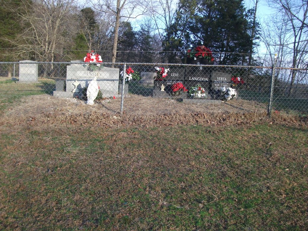
| Memorials | : | 1 |
| Location | : | Spurlock, Clay County, USA |
| Coordinate | : | 37.2126900, -83.6321400 |
| Description | : | FROM ONEIDA, GO SOUTH ON HWY 66 PAST MILE MARKER 25 AND BANKS BRANCH ROAD. THE CEMETERY IS ON A HILL BEHIND THE HOUSE, ON PRIVATE PROPERTY. |
frequently asked questions (FAQ):
-
Where is John Henry Langdon Cemetery?
John Henry Langdon Cemetery is located at Spurlock, Clay County ,Kentucky ,USA.
-
John Henry Langdon Cemetery cemetery's updated grave count on graveviews.com?
1 memorials
-
Where are the coordinates of the John Henry Langdon Cemetery?
Latitude: 37.2126900
Longitude: -83.6321400
Nearby Cemetories:
1. Nick Hudson Cemetery
Eriline, Clay County, USA
Coordinate: 37.2103100, -83.6287200
2. Blevins Hensley Cemetery
Eriline, Clay County, USA
Coordinate: 37.2081300, -83.6292900
3. Baker Hill Cemetery
Eriline, Clay County, USA
Coordinate: 37.2079200, -83.6295900
4. Lincoln Gilbert Cemetery
Spurlock, Clay County, USA
Coordinate: 37.2178100, -83.6276900
5. William C Gilbert Cemetery
Spurlock, Clay County, USA
Coordinate: 37.2218800, -83.6235500
6. Andy Baker Cemetery
Barcreek, Clay County, USA
Coordinate: 37.2246100, -83.6333700
7. Reuben Baker Cemetery
Barcreek, Clay County, USA
Coordinate: 37.2251000, -83.6325900
8. Daniel Baker Cemetery
Barcreek, Clay County, USA
Coordinate: 37.2244000, -83.6268700
9. Hensley Family Cemetery
Spurlock, Clay County, USA
Coordinate: 37.2050500, -83.6193000
10. Phillip Wilson Cemetery
Barcreek, Clay County, USA
Coordinate: 37.2262600, -83.6348400
11. Brack Wilson Cemetery
Barcreek, Clay County, USA
Coordinate: 37.2240600, -83.6438700
12. Herd Cemetery
Barcreek, Clay County, USA
Coordinate: 37.2277910, -83.6427200
13. Lee Cemetery
Barcreek, Clay County, USA
Coordinate: 37.2146400, -83.6563300
14. Spurlock Cemetery
Barcreek, Clay County, USA
Coordinate: 37.2312000, -83.6394000
15. Flatwoods Cemetery
Spurlock, Clay County, USA
Coordinate: 37.2260100, -83.6114500
16. Davidson Cemetery
Oneida, Clay County, USA
Coordinate: 37.2362800, -83.6376100
17. Samuel Britton Cemetery
Eriline, Clay County, USA
Coordinate: 37.1982800, -83.6053200
18. Gibson Family Cemetery
Big Creek, Clay County, USA
Coordinate: 37.2137900, -83.5970800
19. Jesse Bowling Cemetery
Eriline, Clay County, USA
Coordinate: 37.1923700, -83.6031100
20. Martin-Davidson Cemetery
Oneida, Clay County, USA
Coordinate: 37.2486800, -83.6348100
21. Vernon Burns Family Cemetery
Oneida, Clay County, USA
Coordinate: 37.2503360, -83.6164050
22. Davidson Cemetery
Oneida, Clay County, USA
Coordinate: 37.2506220, -83.6476240
23. Irvin Hill Cemetery
Oneida, Clay County, USA
Coordinate: 37.2506900, -83.6476100
24. Alfred Bowling Cemetery
Eriline, Clay County, USA
Coordinate: 37.1844100, -83.5951800