
| Memorials | : | 7 |
| Location | : | Barcreek, Clay County, USA |
| Coordinate | : | 37.2251000, -83.6325900 |
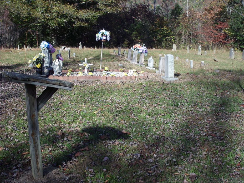
| Description | : | From Oneida, go south on Hwy 66 past mile marker 27 and turn right onto Bar Creek Road. Turn left on the second gravel road which is well rutted. There are three cemeteries at the top of this hill. This is the one to the left and best maintained. Directions by Robert Torbert. |
frequently asked questions (FAQ):
-
Where is Reuben Baker Cemetery?
Reuben Baker Cemetery is located at Barcreek, Clay County ,Kentucky ,USA.
-
Reuben Baker Cemetery cemetery's updated grave count on graveviews.com?
7 memorials
-
Where are the coordinates of the Reuben Baker Cemetery?
Latitude: 37.2251000
Longitude: -83.6325900
Nearby Cemetories:
1. Andy Baker Cemetery
Barcreek, Clay County, USA
Coordinate: 37.2246100, -83.6333700
2. Phillip Wilson Cemetery
Barcreek, Clay County, USA
Coordinate: 37.2262600, -83.6348400
3. Daniel Baker Cemetery
Barcreek, Clay County, USA
Coordinate: 37.2244000, -83.6268700
4. William C Gilbert Cemetery
Spurlock, Clay County, USA
Coordinate: 37.2218800, -83.6235500
5. Spurlock Cemetery
Barcreek, Clay County, USA
Coordinate: 37.2312000, -83.6394000
6. Lincoln Gilbert Cemetery
Spurlock, Clay County, USA
Coordinate: 37.2178100, -83.6276900
7. Herd Cemetery
Barcreek, Clay County, USA
Coordinate: 37.2277910, -83.6427200
8. Brack Wilson Cemetery
Barcreek, Clay County, USA
Coordinate: 37.2240600, -83.6438700
9. Davidson Cemetery
Oneida, Clay County, USA
Coordinate: 37.2362800, -83.6376100
10. John Henry Langdon Cemetery
Spurlock, Clay County, USA
Coordinate: 37.2126900, -83.6321400
11. Nick Hudson Cemetery
Eriline, Clay County, USA
Coordinate: 37.2103100, -83.6287200
12. Flatwoods Cemetery
Spurlock, Clay County, USA
Coordinate: 37.2260100, -83.6114500
13. Blevins Hensley Cemetery
Eriline, Clay County, USA
Coordinate: 37.2081300, -83.6292900
14. Baker Hill Cemetery
Eriline, Clay County, USA
Coordinate: 37.2079200, -83.6295900
15. Lee Cemetery
Barcreek, Clay County, USA
Coordinate: 37.2146400, -83.6563300
16. Hensley Family Cemetery
Spurlock, Clay County, USA
Coordinate: 37.2050500, -83.6193000
17. Martin-Davidson Cemetery
Oneida, Clay County, USA
Coordinate: 37.2486800, -83.6348100
18. Davidson Cemetery
Oneida, Clay County, USA
Coordinate: 37.2506220, -83.6476240
19. Irvin Hill Cemetery
Oneida, Clay County, USA
Coordinate: 37.2506900, -83.6476100
20. Vernon Burns Family Cemetery
Oneida, Clay County, USA
Coordinate: 37.2503360, -83.6164050
21. Gibson Family Cemetery
Big Creek, Clay County, USA
Coordinate: 37.2137900, -83.5970800
22. Andrew Burns Cemetery
Oneida, Clay County, USA
Coordinate: 37.2561400, -83.6216500
23. L H Burns Cemetery
Oneida, Clay County, USA
Coordinate: 37.2571100, -83.6164300
24. Samuel Britton Cemetery
Eriline, Clay County, USA
Coordinate: 37.1982800, -83.6053200