
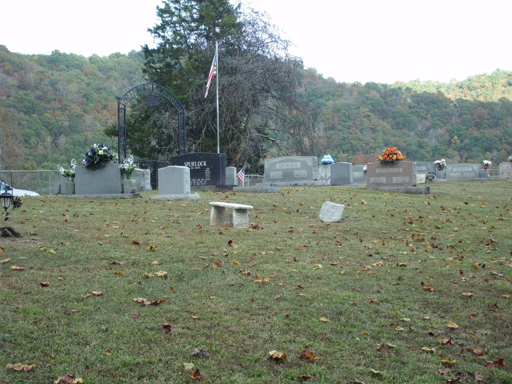
| Memorials | : | 31 |
| Location | : | Barcreek, Clay County, USA |
| Coordinate | : | 37.2312000, -83.6394000 |
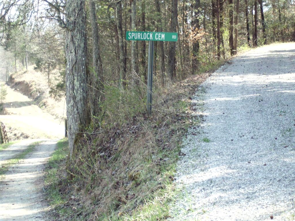
| Description | : | Directions from Oneida, KY: Head southeast on KY-11 S toward Sandlin Hill Rd - 0.1 mi Turn left onto KY-66 S - 0.6 mi Turn right to stay on KY-66 S - 5.4 mi Turn right onto Laurel Branch Rd - 0.3 mi Turn left onto Spurlock Cemetery - 0.5 mi Keep right to stay on Spurlock Cemetery - 495 ft Destination will be on the left Directions from Manchester, KY: Head northwest on KY-11 N/US-421 N/Richmond Rd toward Town Branch Rd Continue to follow KY-11 N/US-421 N - 5.9 mi Turn right onto KY-11 N - 6.6 mi... Read More |
frequently asked questions (FAQ):
-
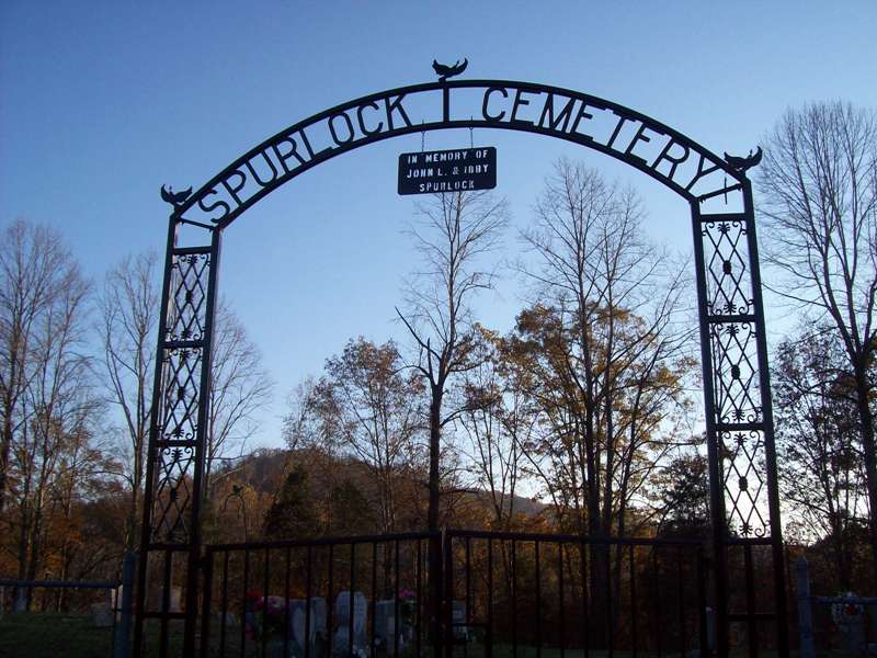
Where is Spurlock Cemetery?
Spurlock Cemetery is located at Spurlock Cemetery Rd Barcreek, Clay County ,Kentucky ,USA.
-
Spurlock Cemetery cemetery's updated grave count on graveviews.com?
31 memorials
-
Where are the coordinates of the Spurlock Cemetery?
Latitude: 37.2312000
Longitude: -83.6394000
Nearby Cemetories:
1. Herd Cemetery
Barcreek, Clay County, USA
Coordinate: 37.2277910, -83.6427200
2. Davidson Cemetery
Oneida, Clay County, USA
Coordinate: 37.2362800, -83.6376100
3. Phillip Wilson Cemetery
Barcreek, Clay County, USA
Coordinate: 37.2262600, -83.6348400
4. Brack Wilson Cemetery
Barcreek, Clay County, USA
Coordinate: 37.2240600, -83.6438700
5. Andy Baker Cemetery
Barcreek, Clay County, USA
Coordinate: 37.2246100, -83.6333700
6. Reuben Baker Cemetery
Barcreek, Clay County, USA
Coordinate: 37.2251000, -83.6325900
7. Daniel Baker Cemetery
Barcreek, Clay County, USA
Coordinate: 37.2244000, -83.6268700
8. William C Gilbert Cemetery
Spurlock, Clay County, USA
Coordinate: 37.2218800, -83.6235500
9. Lincoln Gilbert Cemetery
Spurlock, Clay County, USA
Coordinate: 37.2178100, -83.6276900
10. Martin-Davidson Cemetery
Oneida, Clay County, USA
Coordinate: 37.2486800, -83.6348100
11. John Henry Langdon Cemetery
Spurlock, Clay County, USA
Coordinate: 37.2126900, -83.6321400
12. Davidson Cemetery
Oneida, Clay County, USA
Coordinate: 37.2506220, -83.6476240
13. Irvin Hill Cemetery
Oneida, Clay County, USA
Coordinate: 37.2506900, -83.6476100
14. Lee Cemetery
Barcreek, Clay County, USA
Coordinate: 37.2146400, -83.6563300
15. Nick Hudson Cemetery
Eriline, Clay County, USA
Coordinate: 37.2103100, -83.6287200
16. Flatwoods Cemetery
Spurlock, Clay County, USA
Coordinate: 37.2260100, -83.6114500
17. Blevins Hensley Cemetery
Eriline, Clay County, USA
Coordinate: 37.2081300, -83.6292900
18. Baker Hill Cemetery
Eriline, Clay County, USA
Coordinate: 37.2079200, -83.6295900
19. Vernon Burns Family Cemetery
Oneida, Clay County, USA
Coordinate: 37.2503360, -83.6164050
20. Andrew Burns Cemetery
Oneida, Clay County, USA
Coordinate: 37.2561400, -83.6216500
21. Brown-Wilson Cemetery
Oneida, Clay County, USA
Coordinate: 37.2606730, -83.6402730
22. Hensley Holiness Church Cemetery
Hensley, Clay County, USA
Coordinate: 37.2362800, -83.6760800
23. Hensley Family Cemetery
Spurlock, Clay County, USA
Coordinate: 37.2050500, -83.6193000
24. L H Burns Cemetery
Oneida, Clay County, USA
Coordinate: 37.2571100, -83.6164300