
| Memorials | : | 0 |
| Location | : | Crawford County, USA |
| Coordinate | : | 35.7391100, -94.4035490 |
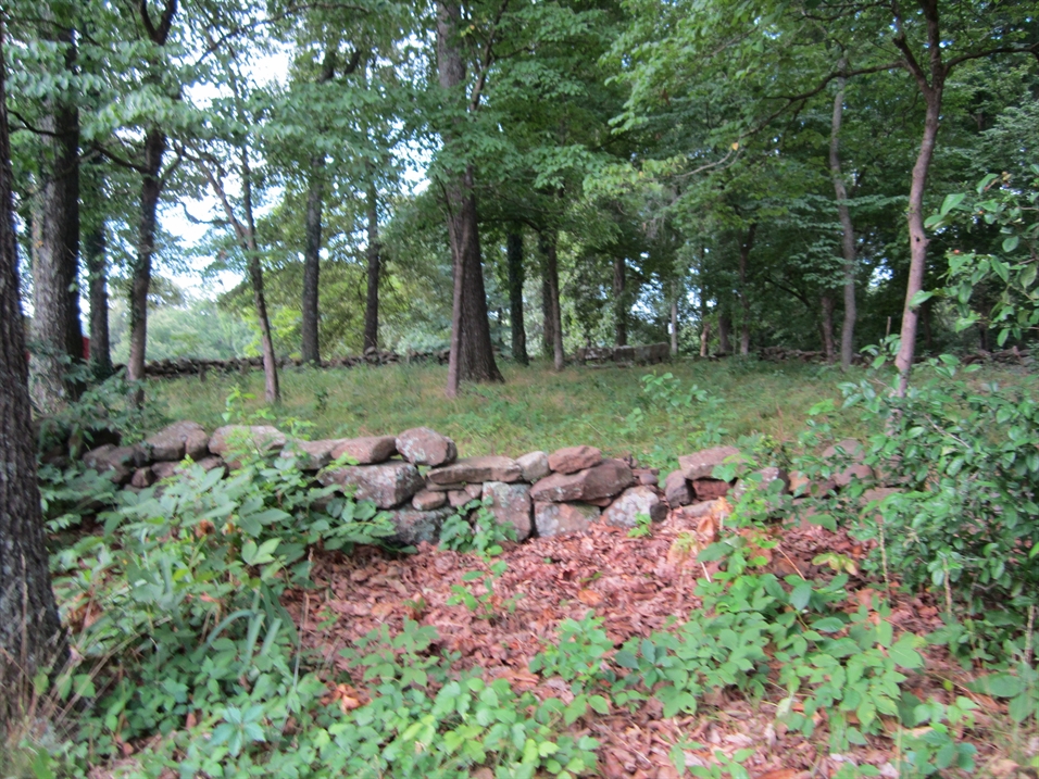
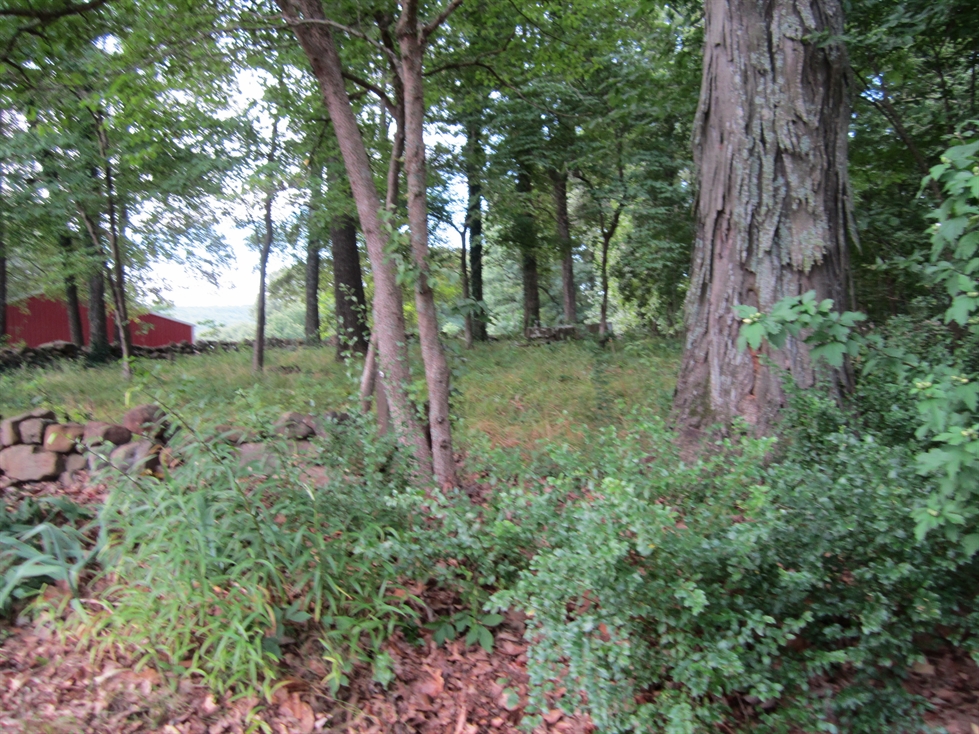
| Description | : | Located in the area of Tom Jack Hollow,off Cove Creek Rd. This area was a township of many names,first Barker, Londontown,Eads,then Rosedale, The cemetery is locaed up a driveway,please ask owner before going to cemetery, The orginial cemetery had about fifty burials,but the person who built the current house started bulldozing the left side of the cemetery. The old road to the cemetery went through the middle of it. He was stopped before he destroyed all of it. The only five marked stones were saved. There are about thirty five graves left and they have put a stone wall around... Read More |
frequently asked questions (FAQ):
-
Where is Barker Cemetery?
Barker Cemetery is located at Crawford County ,Arkansas ,USA.
-
Barker Cemetery cemetery's updated grave count on graveviews.com?
0 memorials
-
Where are the coordinates of the Barker Cemetery?
Latitude: 35.7391100
Longitude: -94.4035490


Nearby Cemetories:
1. Clawson Cemetery
Natural Dam, Crawford County, USA
Coordinate: 35.7315690, -94.4075350
2. Deason Cemetery
Crawford County, USA
Coordinate: 35.7314550, -94.4073630
3. Albert Smith Cemetery
Natural Dam, Crawford County, USA
Coordinate: 35.7265854, -94.3815689
4. Leach Cemetery
Crawford County, USA
Coordinate: 35.7498820, -94.4308270
5. Liberty Hill Cemetery
Crawford County, USA
Coordinate: 35.7362595, -94.4383774
6. Dobbs Cemetery
Washington County, USA
Coordinate: 35.7641983, -94.4210968
7. Garrett Creek Cemetery
Washington County, USA
Coordinate: 35.7710991, -94.3792038
8. Oak Grove Cemetery
Crawford County, USA
Coordinate: 35.7504005, -94.3262787
9. Clanton Cemetery
Floss, Washington County, USA
Coordinate: 35.7935110, -94.3619370
10. Bugscuffle Cemetery
Strickler, Washington County, USA
Coordinate: 35.7841500, -94.3419460
11. Bateman Cemetery
Crawford County, USA
Coordinate: 35.7158012, -94.4824982
12. Mountain Top Cemetery
Evansville, Washington County, USA
Coordinate: 35.7693030, -94.4798000
13. Dunagan Cemetery
Evansville, Washington County, USA
Coordinate: 35.8025017, -94.4499969
14. Antioch Cemetery
Morrow, Washington County, USA
Coordinate: 35.8129760, -94.4075990
15. Dunkard Cemetery
Strickler, Washington County, USA
Coordinate: 35.7775002, -94.3217010
16. Goddard Cemetery
Washington County, USA
Coordinate: 35.7985992, -94.4636002
17. Bryant Cemetery
Cove City, Crawford County, USA
Coordinate: 35.7022018, -94.3178024
18. Hall Cemetery
Natural Dam, Crawford County, USA
Coordinate: 35.6577988, -94.3981018
19. Willett Family Cemetery
Morrow, Washington County, USA
Coordinate: 35.8231550, -94.4098840
20. Academy Cemetery
Evansville, Washington County, USA
Coordinate: 35.7956009, -94.4831009
21. Lewis Cemetery
Evansville, Washington County, USA
Coordinate: 35.7928009, -94.4875031
22. Shamrock Cemetery
Cedarville, Crawford County, USA
Coordinate: 35.6611099, -94.3460464
23. Camp Meeting Cemetery
Lee Creek, Crawford County, USA
Coordinate: 35.7284000, -94.2894000
24. Czarsnikow Cemetery
Dora, Crawford County, USA
Coordinate: 35.6820155, -94.4982754