| Memorials | : | 0 |
| Location | : | Lee Creek, Crawford County, USA |
| Coordinate | : | 35.7284000, -94.2894000 |
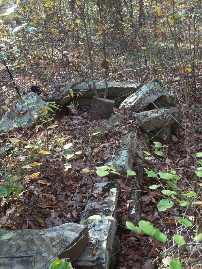
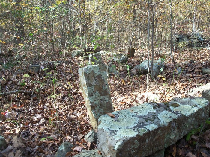
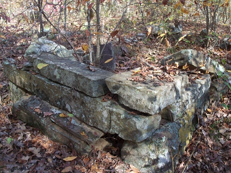
| Description | : | The Camp Meeting Cemetery is located about two miles south of the Washington County Line on the west bank of Lees Creek at the ford which is just below where Blackburn Fork runs into Lees Creek. It is across Lee's Creek from Junction Camp, which is part of the Butterfield Trail of Devil's Den State Park. If you start at the trail head in Devil's Den, it will take you approximately 4 - 5 miles to reach Junction Camp. The community of Anna was also located near Junction Camp. It was abandoned after a flash flood on... Read More |
frequently asked questions (FAQ):
-
Where is Camp Meeting Cemetery?
Camp Meeting Cemetery is located at Lee Creek, Crawford County ,Arkansas ,USA.
-
Camp Meeting Cemetery cemetery's updated grave count on graveviews.com?
0 memorials
-
Where are the coordinates of the Camp Meeting Cemetery?
Latitude: 35.7284000
Longitude: -94.2894000
Nearby Cemetories:
1. Bryant Cemetery
Cove City, Crawford County, USA
Coordinate: 35.7022018, -94.3178024
2. Oak Grove Cemetery
Crawford County, USA
Coordinate: 35.7504005, -94.3262787
3. Freedom Cemetery
Chester, Crawford County, USA
Coordinate: 35.7176400, -94.2379400
4. Kimes Cemetery
Chester, Crawford County, USA
Coordinate: 35.6899986, -94.2617035
5. Dunkard Cemetery
Strickler, Washington County, USA
Coordinate: 35.7775002, -94.3217010
6. Liberty 86 Cemetery
Strickler, Washington County, USA
Coordinate: 35.7844009, -94.2910995
7. English Cemetery
Strickler, Washington County, USA
Coordinate: 35.7970000, -94.3015770
8. Bugscuffle Cemetery
Strickler, Washington County, USA
Coordinate: 35.7841500, -94.3419460
9. Albert Smith Cemetery
Natural Dam, Crawford County, USA
Coordinate: 35.7265854, -94.3815689
10. Shamrock Cemetery
Cedarville, Crawford County, USA
Coordinate: 35.6611099, -94.3460464
11. Garrett Creek Cemetery
Washington County, USA
Coordinate: 35.7710991, -94.3792038
12. Clanton Cemetery
Floss, Washington County, USA
Coordinate: 35.7935110, -94.3619370
13. Schaberg Cemetery
Crawford County, USA
Coordinate: 35.7174988, -94.1791992
14. Chester Cemetery
Chester, Crawford County, USA
Coordinate: 35.6893997, -94.1864014
15. Kimbler Cemetery
Cove City, Crawford County, USA
Coordinate: 35.6506004, -94.3506012
16. Barker Cemetery
Crawford County, USA
Coordinate: 35.7391100, -94.4035490
17. Deason Cemetery
Crawford County, USA
Coordinate: 35.7314550, -94.4073630
18. Clawson Cemetery
Natural Dam, Crawford County, USA
Coordinate: 35.7315690, -94.4075350
19. Zinnamon Cemetery
West Fork, Washington County, USA
Coordinate: 35.8230000, -94.2682000
20. Serenity Place Cemetery
Washington County, USA
Coordinate: 35.8312100, -94.2665000
21. Fall Creek Cemetery
Strickler, Washington County, USA
Coordinate: 35.8344110, -94.3098330
22. Dobbs Cemetery
Washington County, USA
Coordinate: 35.7641983, -94.4210968
23. Hall Cemetery
Natural Dam, Crawford County, USA
Coordinate: 35.6577988, -94.3981018
24. Leach Cemetery
Crawford County, USA
Coordinate: 35.7498820, -94.4308270


