| Memorials | : | 0 |
| Location | : | Lohman, Cole County, USA |
| Coordinate | : | 38.5537900, -92.4267100 |
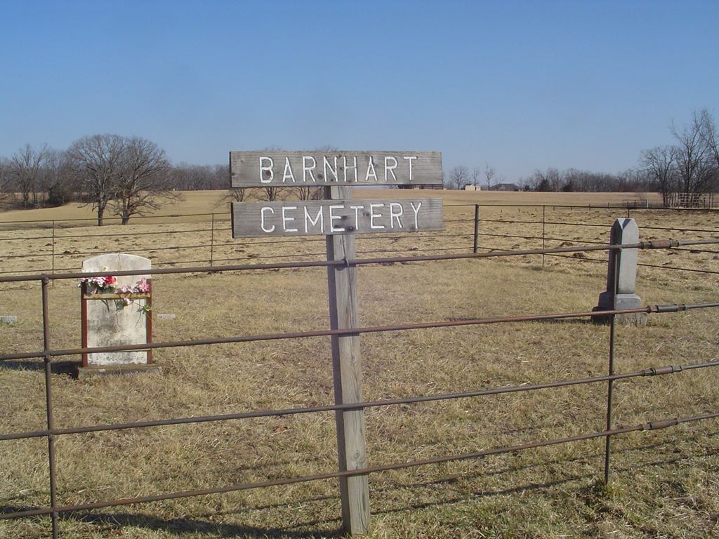
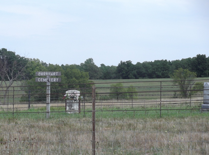
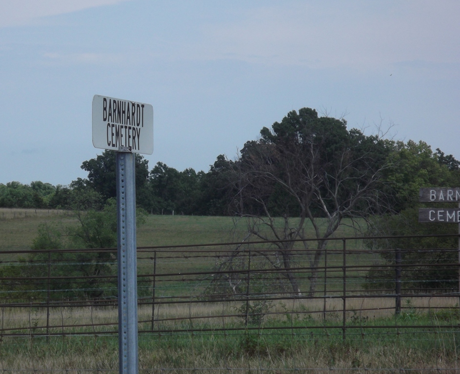
| Description | : | The cemetery is on private property, fenced and only two headstones visible from the road. There is a barbed wire fence between the road and the cemetery. |
frequently asked questions (FAQ):
-
Where is Barnhardt Cemetery?
Barnhardt Cemetery is located at Route U Lohman, Cole County ,Missouri ,USA.
-
Barnhardt Cemetery cemetery's updated grave count on graveviews.com?
0 memorials
-
Where are the coordinates of the Barnhardt Cemetery?
Latitude: 38.5537900
Longitude: -92.4267100
Nearby Cemetories:
1. Van Pool Cemetery
Moniteau County, USA
Coordinate: 38.5372009, -92.4627991
2. Blank Cemetery
Russellville, Cole County, USA
Coordinate: 38.5203018, -92.4180984
3. Russellville Cemetery
Russellville, Cole County, USA
Coordinate: 38.5196991, -92.4366989
4. Evangelical Lutheran Cemetery One Acre
Russellville, Cole County, USA
Coordinate: 38.5175667, -92.4415817
5. Buckner Russell Cemetery
Cole County, USA
Coordinate: 38.5136900, -92.4359390
6. Murray Cemetery
Centertown, Cole County, USA
Coordinate: 38.5936012, -92.4152985
7. Saint Michael Cemetery
Russellville, Cole County, USA
Coordinate: 38.5109300, -92.4429100
8. Trinity Lutheran Cemetery
Russellville, Cole County, USA
Coordinate: 38.5028000, -92.4317017
9. Saint Pauls Lutheran Cemetery
Lohman, Cole County, USA
Coordinate: 38.5388985, -92.3597031
10. Enloe Cemetery
Moniteau County, USA
Coordinate: 38.5074997, -92.4741974
11. Evangelical Lutheran Emanuel Cemetery
Centertown, Cole County, USA
Coordinate: 38.6173820, -92.4191208
12. Belleville Cemetery
Russellville, Cole County, USA
Coordinate: 38.4970490, -92.4667150
13. McGirk-George Cemetery
McGirk, Moniteau County, USA
Coordinate: 38.6115500, -92.4679500
14. Saint Johns Lutheran Church Cemetery
Stringtown, Cole County, USA
Coordinate: 38.5192986, -92.3526993
15. Centertown Cemetery
Centertown, Cole County, USA
Coordinate: 38.6188660, -92.4031677
16. Colvin Strong Cemetery
Millbrook, Cole County, USA
Coordinate: 38.5025600, -92.3690400
17. Salem United Church of Christ Cemetery
Moniteau County, USA
Coordinate: 38.5864300, -92.5045400
18. McGirk Cemetery
McGirk, Moniteau County, USA
Coordinate: 38.6143300, -92.4721500
19. Chambers Cemetery
Elston, Cole County, USA
Coordinate: 38.6166153, -92.3853836
20. Campbell Cemetery
Cole County, USA
Coordinate: 38.4810982, -92.4297028
21. Stone Cemetery
Cole County, USA
Coordinate: 38.5718994, -92.3358002
22. Enon Cemetery
Russellville, Cole County, USA
Coordinate: 38.4888992, -92.4730988
23. Old Catholic Cemetery
Jefferson City, Cole County, USA
Coordinate: 38.5358009, -92.3321991
24. Saint Joseph Cemetery
Stringtown, Cole County, USA
Coordinate: 38.5361110, -92.3320720


