
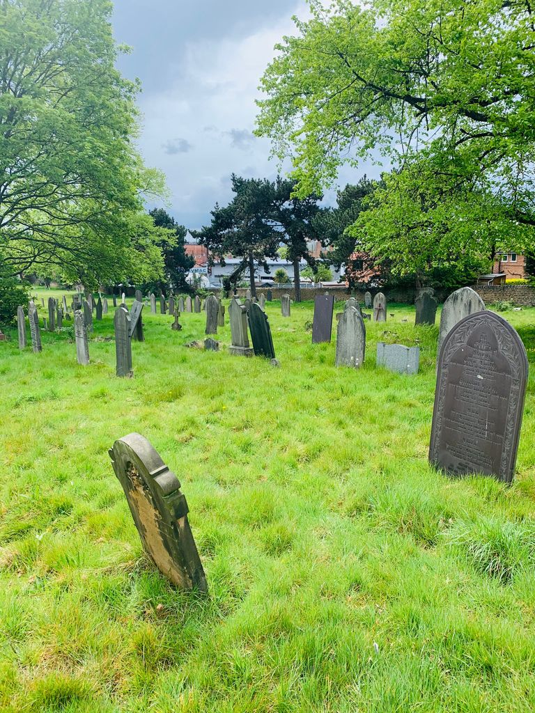
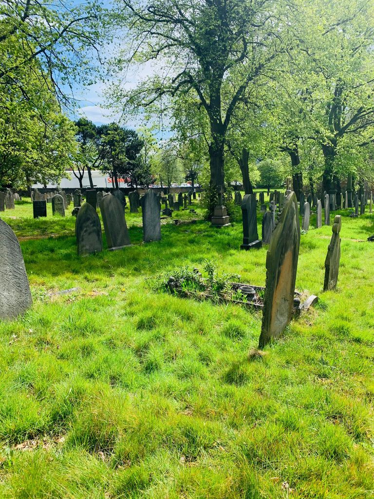
| Memorials | : | 51 |
| Location | : | Old Basford, Nottingham Unitary Authority, England |
| Coordinate | : | 52.9799700, -1.1725900 |
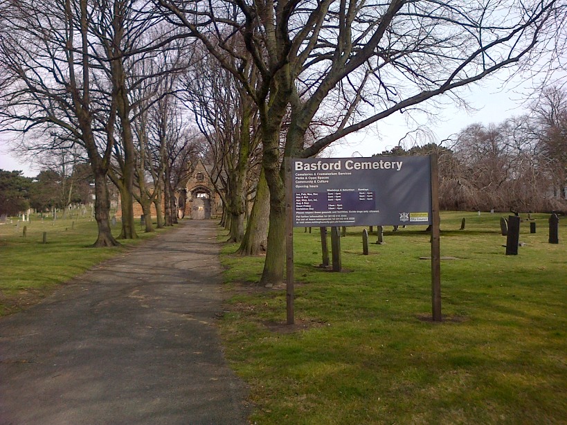
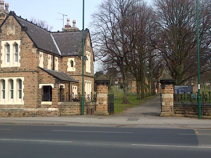
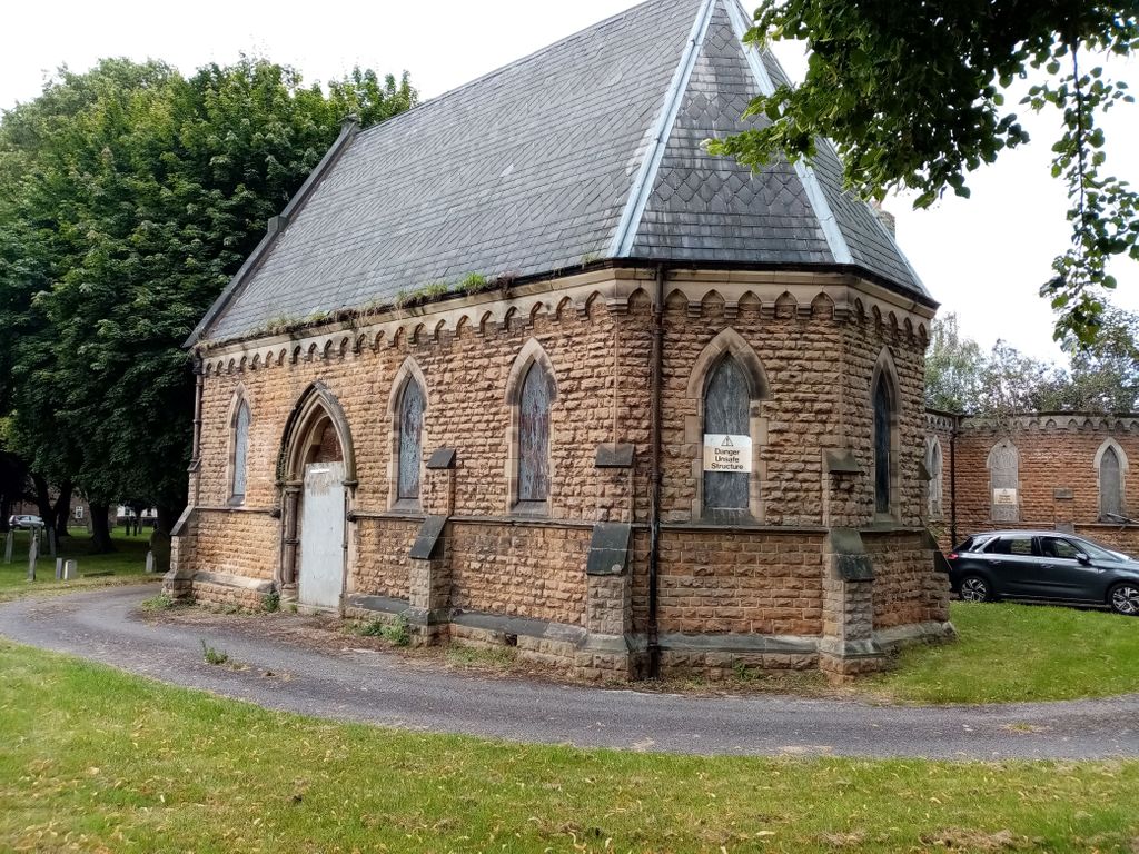
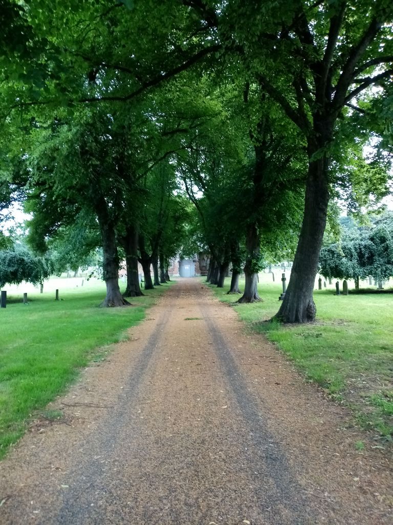
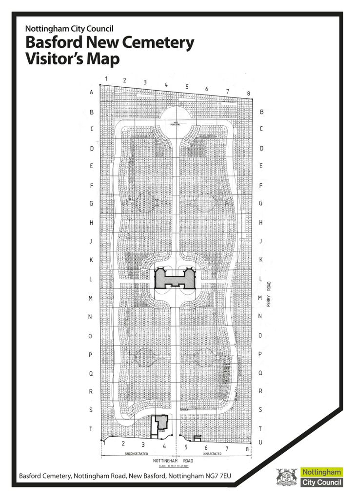
| Description | : | Contact Details: Tel: 0115 9152340 or 9152345 Fax: 0115 9152345 Email: [email protected] The old parish of Basford lays about 1½-3 miles north of Nottingham. The New Cemetery is on Nottingham Road. During the the latter half of the 19th century it became a major centre for framework knitting. Originally there were 2 Mortuary Chapels and covered an area of about 6 acres. |
frequently asked questions (FAQ):
-
Where is Basford Cemetery?
Basford Cemetery is located at Nottingham Road Old Basford, Nottingham Unitary Authority ,Nottinghamshire , NG7 7FFEngland.
-
Basford Cemetery cemetery's updated grave count on graveviews.com?
45 memorials
-
Where are the coordinates of the Basford Cemetery?
Latitude: 52.9799700
Longitude: -1.1725900
Nearby Cemetories:
1. St. Leodegarius Churchyard
Old Basford, Nottingham Unitary Authority, England
Coordinate: 52.9794240, -1.1778650
2. St. John's Carrington Churchyard
Nottingham, Nottingham Unitary Authority, England
Coordinate: 52.9755350, -1.1506790
3. Nottingham Church Cemetery
Nottingham, Nottingham Unitary Authority, England
Coordinate: 52.9649830, -1.1558070
4. Hardy Street Jewish Cemetery
Nottingham, Nottingham Unitary Authority, England
Coordinate: 52.9619500, -1.1665900
5. St. Peter Churchyard Old Radford
Nottingham, Nottingham Unitary Authority, England
Coordinate: 52.9601830, -1.1789620
6. Nottingham General Cemetery
Nottingham, Nottingham Unitary Authority, England
Coordinate: 52.9575370, -1.1594236
7. General Cemetery
Nottingham, Nottingham Unitary Authority, England
Coordinate: 52.9561430, -1.1615420
8. Cathedral Church of St. Barnabas
Nottingham, Nottingham Unitary Authority, England
Coordinate: 52.9546750, -1.1570460
9. Northern Cemetery
Bulwell, Nottingham Unitary Authority, England
Coordinate: 52.9979840, -1.2077900
10. St. Mary Rest Ground
Nottingham, Nottingham Unitary Authority, England
Coordinate: 52.9568310, -1.1406580
11. St Peters Church Yard
Nottingham, Nottingham Unitary Authority, England
Coordinate: 52.9522800, -1.1486940
12. Holy Trinity Churchyard
Lenton, Nottingham Unitary Authority, England
Coordinate: 52.9485630, -1.1753148
13. St Nicholas Churchyard
Nottingham, Nottingham Unitary Authority, England
Coordinate: 52.9504780, -1.1509220
14. St Mary's Burial Grounds
Nottingham, Nottingham Unitary Authority, England
Coordinate: 52.9527860, -1.1419160
15. National Justice Museum High Pavement Nottingham
Nottingham Unitary Authority, England
Coordinate: 52.9510680, -1.1443050
16. National Ice Centre
Nottingham, Nottingham Unitary Authority, England
Coordinate: 52.9527790, -1.1394460
17. Redhill Cemetery
Arnold, Nottingham Unitary Authority, England
Coordinate: 53.0066910, -1.1382950
18. St. Paul's Churchyard
Nottingham Unitary Authority, England
Coordinate: 52.9667590, -1.1172140
19. St. Leonard's Churchyard
Wollaton, Nottingham Unitary Authority, England
Coordinate: 52.9529790, -1.2200830
20. Wollaton Cemetery
Wollaton, Nottingham Unitary Authority, England
Coordinate: 52.9503000, -1.2260800
21. All Saints Church
Strelley, Broxtowe Borough, England
Coordinate: 52.9737900, -1.2470340
22. St. Wilfrid Churchyard
Wilford, Nottingham Unitary Authority, England
Coordinate: 52.9346290, -1.1587770
23. Wilford Village Cemetery
Wilford, Nottingham Unitary Authority, England
Coordinate: 52.9338540, -1.1591170
24. Carlton Cemetery
Nottingham, Nottingham Unitary Authority, England
Coordinate: 52.9682820, -1.0900230