
| Memorials | : | 190 |
| Location | : | Nottingham, Nottingham Unitary Authority, England |
| Website | : | www.nottinghamcity.gov.uk/information-for-residents/births-deaths-marriages/deaths-and-stillbirths/cemeteries-crematorium-bu |
| Coordinate | : | 52.9561430, -1.1615420 |
frequently asked questions (FAQ):
-
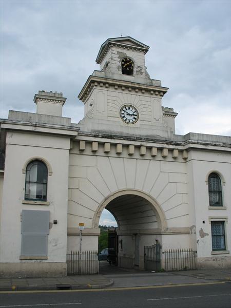
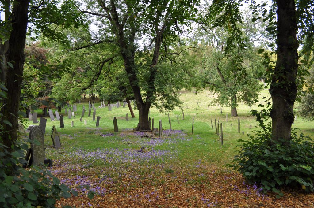
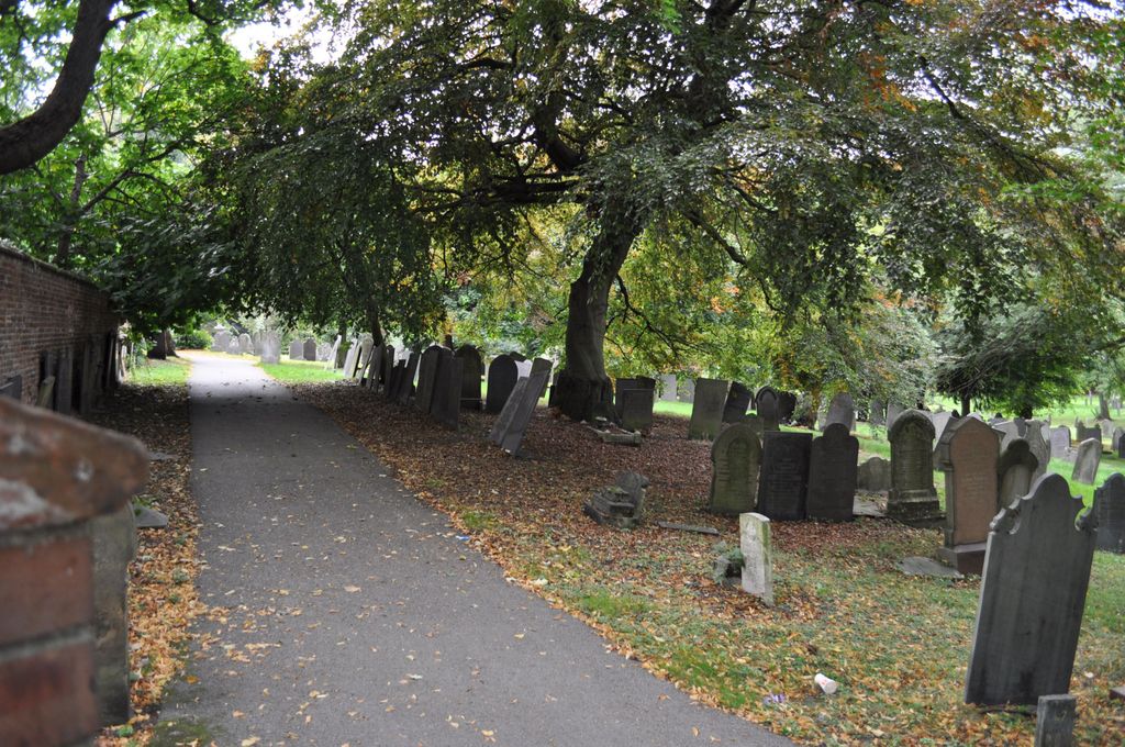
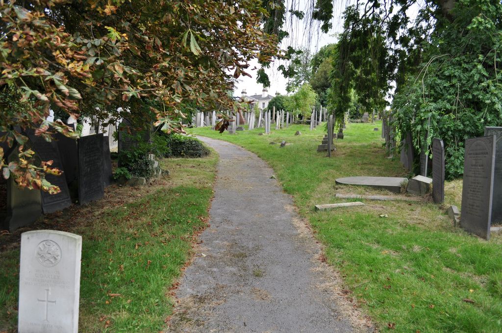
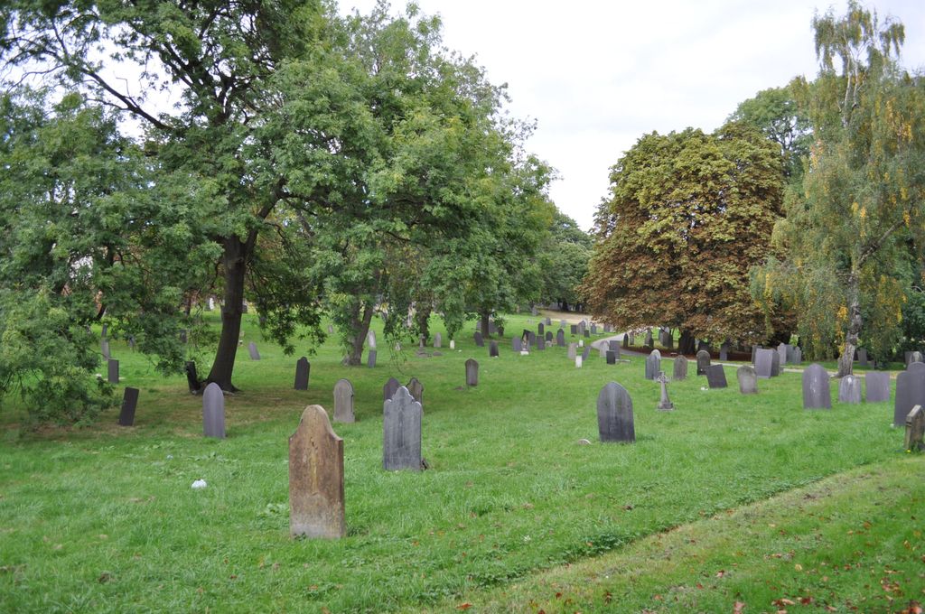
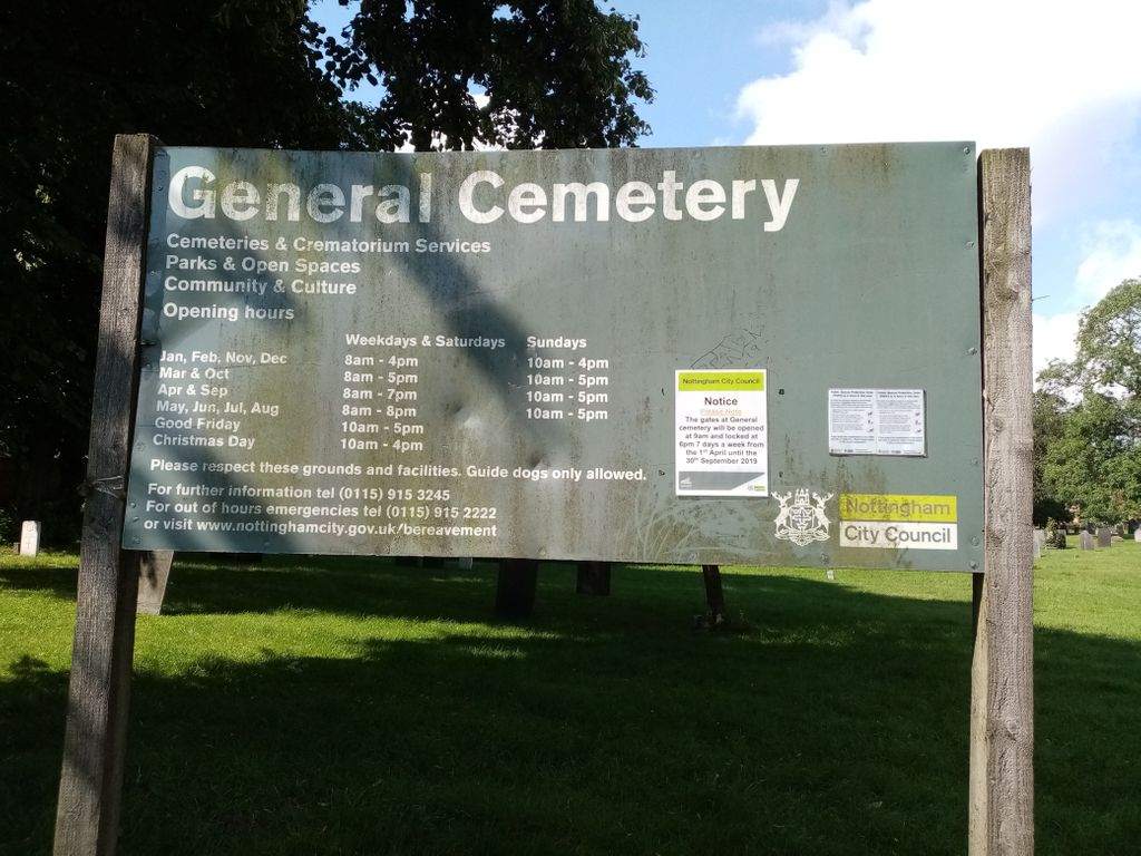
Where is General Cemetery?
General Cemetery is located at Alfreton Road Nottingham, Nottingham Unitary Authority ,Nottinghamshire ,England.
-
General Cemetery cemetery's updated grave count on graveviews.com?
169 memorials
-
Where are the coordinates of the General Cemetery?
Latitude: 52.9561430
Longitude: -1.1615420
Nearby Cemetories:
1. Nottingham General Cemetery
Nottingham, Nottingham Unitary Authority, England
Coordinate: 52.9575370, -1.1594236
2. Cathedral Church of St. Barnabas
Nottingham, Nottingham Unitary Authority, England
Coordinate: 52.9546750, -1.1570460
3. Hardy Street Jewish Cemetery
Nottingham, Nottingham Unitary Authority, England
Coordinate: 52.9619500, -1.1665900
4. St Nicholas Churchyard
Nottingham, Nottingham Unitary Authority, England
Coordinate: 52.9504780, -1.1509220
5. St Peters Church Yard
Nottingham, Nottingham Unitary Authority, England
Coordinate: 52.9522800, -1.1486940
6. Nottingham Church Cemetery
Nottingham, Nottingham Unitary Authority, England
Coordinate: 52.9649830, -1.1558070
7. Holy Trinity Churchyard
Lenton, Nottingham Unitary Authority, England
Coordinate: 52.9485630, -1.1753148
8. St. Peter Churchyard Old Radford
Nottingham, Nottingham Unitary Authority, England
Coordinate: 52.9601830, -1.1789620
9. National Justice Museum High Pavement Nottingham
Nottingham Unitary Authority, England
Coordinate: 52.9510680, -1.1443050
10. St Mary's Burial Grounds
Nottingham, Nottingham Unitary Authority, England
Coordinate: 52.9527860, -1.1419160
11. St. Mary Rest Ground
Nottingham, Nottingham Unitary Authority, England
Coordinate: 52.9568310, -1.1406580
12. National Ice Centre
Nottingham, Nottingham Unitary Authority, England
Coordinate: 52.9527790, -1.1394460
13. St. John's Carrington Churchyard
Nottingham, Nottingham Unitary Authority, England
Coordinate: 52.9755350, -1.1506790
14. St. Wilfrid Churchyard
Wilford, Nottingham Unitary Authority, England
Coordinate: 52.9346290, -1.1587770
15. Wilford Village Cemetery
Wilford, Nottingham Unitary Authority, England
Coordinate: 52.9338540, -1.1591170
16. Basford Cemetery
Old Basford, Nottingham Unitary Authority, England
Coordinate: 52.9799700, -1.1725900
17. St. Leodegarius Churchyard
Old Basford, Nottingham Unitary Authority, England
Coordinate: 52.9794240, -1.1778650
18. St. Paul's Churchyard
Nottingham Unitary Authority, England
Coordinate: 52.9667590, -1.1172140
19. St. Giles's Church & Churchyard
West Bridgford, Rushcliffe Borough, England
Coordinate: 52.9316460, -1.1288450
20. St. Leonard's Churchyard
Wollaton, Nottingham Unitary Authority, England
Coordinate: 52.9529790, -1.2200830
21. Wollaton Cemetery
Wollaton, Nottingham Unitary Authority, England
Coordinate: 52.9503000, -1.2260800
22. Beeston Baptist Chapel
Beeston, Broxtowe Borough, England
Coordinate: 52.9246600, -1.2122000
23. Carlton Cemetery
Nottingham, Nottingham Unitary Authority, England
Coordinate: 52.9682820, -1.0900230
24. Beeston Cemetery
Beeston, Broxtowe Borough, England
Coordinate: 52.9354540, -1.2275310