
| Memorials | : | 1 |
| Location | : | Sherrodsville, Carroll County, USA |
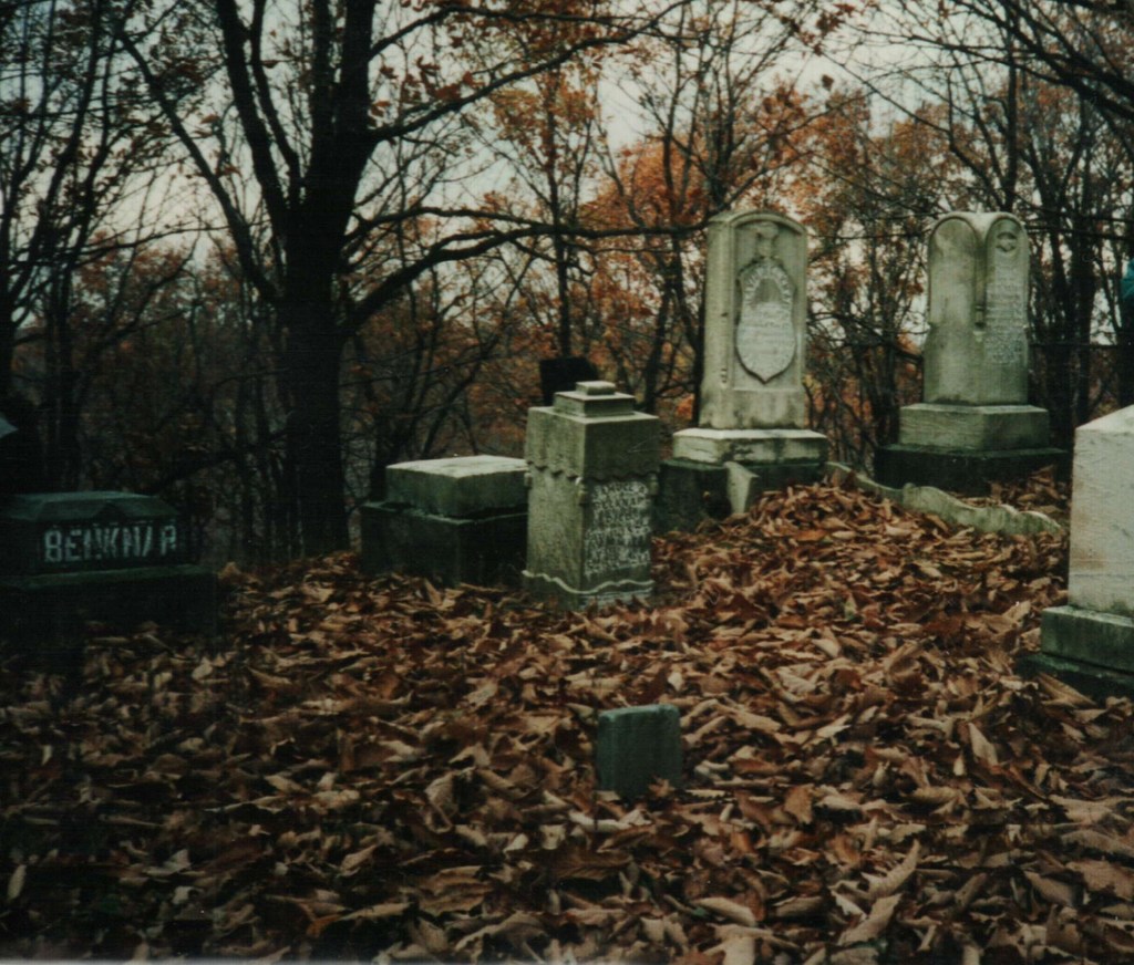
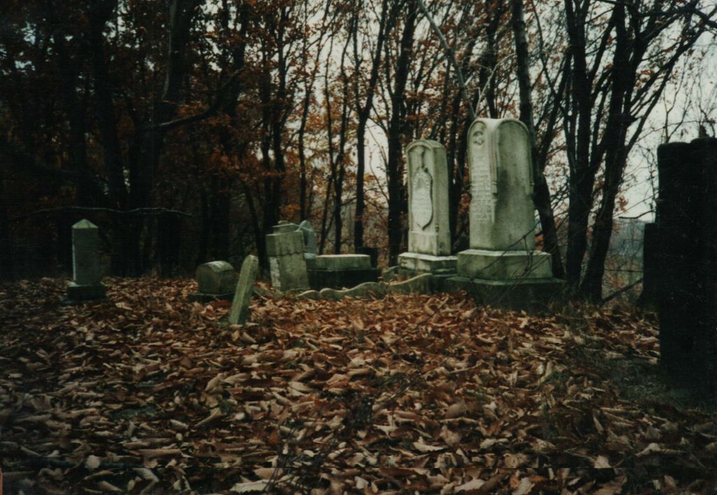
| Description | : | The Belknap Cemetery is a family cemetery located on the old Belknap homestead at 8209 Cutler Road (Township Road 111) Orange Township, Sherrodsville, Ohio. It is in a remote wooded area on the highest point of the property and difficult without a guide. Carroll County Cemeteries Volume IV published by Carroll County Genealogical Society |
frequently asked questions (FAQ):
-
Where is Belknap Cemetery?
Belknap Cemetery is located at Sherrodsville, Carroll County, USA.
-
Belknap Cemetery cemetery's updated grave count on graveviews.com?
1 memorials
Nearby Cemetories:
1. Allen Memorial Cemetery
Carroll County, USA
Coordinate: 40.5133018, -81.1967010
2. Baxters Ridge Cemetery
Carroll County, USA
Coordinate: 40.6697006, -81.1235962
3. Big Spring Cemetery
Carroll County, USA
Coordinate: 40.5748980, -80.9652890
4. Bird Cemetery
Carroll County, USA
Coordinate: 40.6691400, -80.9653910
5. Brush Creek Baptist Cemetery
Carroll County, USA
6. Chestnut Knob Cemetery
Carroll County, USA
Coordinate: 40.5696983, -80.8728027
7. County Home Cemetery
Carroll County, USA
Coordinate: 40.5491982, -80.9336014
8. Downing Cemetery
Carroll County, USA
Coordinate: 40.5219002, -81.0053024
9. Glade Run Cemetery
East Township, Carroll County, USA
Coordinate: 40.5522003, -80.9749985
10. Glade Run Mennonite Church Cemetery
East Township, Carroll County, USA
Coordinate: 40.6094017, -81.3003006
11. Wanless Burial Site
East Township, Carroll County, USA
Coordinate: 40.6217003, -81.1994019
12. Bethel Cemetery
Leavittsville, Carroll County, USA
Coordinate: 40.5449982, -81.0033035
13. Leavittsville Cemetery
Leavittsville, Carroll County, USA
Coordinate: 40.5133018, -81.1967010
14. Devils Half Acre Cemetery
Oneida, Carroll County, USA
Coordinate: 40.6697006, -81.1235962
15. Scroggsfield Cemetery
Scroggsfield, Carroll County, USA
Coordinate: 40.5748980, -80.9652890
16. Upper Glade Run Cemetery
Carroll County, USA
Coordinate: 40.6691400, -80.9653910
17. Dunbar Cemetery
Wattsville, Carroll County, USA
18. Greenbrier-West Union Cemetery
Carroll County, USA
Coordinate: 40.5696983, -80.8728027
19. Chestnut Ridge Cemetery
Harlem Springs, Carroll County, USA
Coordinate: 40.5491982, -80.9336014
20. Harlem Springs Cemetery
Harlem Springs, Carroll County, USA
Coordinate: 40.5219002, -81.0053024
21. McGauran Cemetery
Harlem Springs, Carroll County, USA
Coordinate: 40.5522003, -80.9749985
22. Lindentree Cemetery
Carroll County, USA
Coordinate: 40.6094017, -81.3003006
23. Macedonia Cemetery
Carroll County, USA
Coordinate: 40.6217003, -81.1994019
24. Moorehead Cemetery
Carroll County, USA
Coordinate: 40.5449982, -81.0033035