
| Memorials | : | 242 |
| Location | : | Randolph County, USA |
| Coordinate | : | 35.5183320, -79.5662690 |
frequently asked questions (FAQ):
-
Where is Beulah Baptist Church Cemetery?
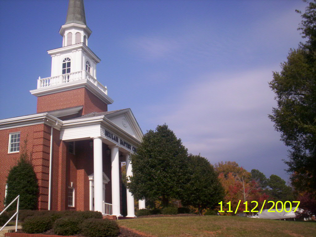
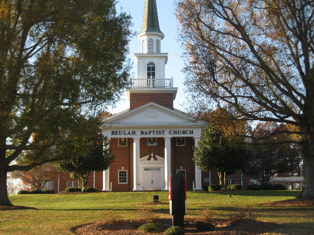
Beulah Baptist Church Cemetery is located at 8454 Howard Mill Rd Randolph County ,North Carolina ,USA.
-
Beulah Baptist Church Cemetery cemetery's updated grave count on graveviews.com?
242 memorials
-
Where are the coordinates of the Beulah Baptist Church Cemetery?
Latitude: 35.5183320
Longitude: -79.5662690
Nearby Cemetories:
1. Waddell Memorial Chapel Cemetery
Randolph County, USA
Coordinate: 35.5256450, -79.5795590
2. Mount Zion United Methodist Church Cemetery
Randolph County, USA
Coordinate: 35.5310430, -79.5624010
3. Purvis Cemetery
Bennett, Chatham County, USA
Coordinate: 35.5184244, -79.5488155
4. Deaton Family Cemetery
Chatham County, USA
Coordinate: 35.5353440, -79.5469330
5. Highfalls Wesleyan Church Cemetery
Robbins, Moore County, USA
Coordinate: 35.4976400, -79.5278600
6. Riverside Baptist Church Cemetery
Seagrove, Randolph County, USA
Coordinate: 35.5337430, -79.6099330
7. Fall Creek Baptist Cemetery
Bennett, Chatham County, USA
Coordinate: 35.5272540, -79.5158190
8. Smyrna United Methodist Church Cemetery
Robbins, Moore County, USA
Coordinate: 35.4940200, -79.6097400
9. Bennett Baptist Church Cemetery
Bennett, Chatham County, USA
Coordinate: 35.5602350, -79.5418390
10. High Falls Friends Church Cemetery
High Falls, Moore County, USA
Coordinate: 35.4872330, -79.5211110
11. Maness Family Cemetery
Coleridge, Randolph County, USA
Coordinate: 35.5315700, -79.6235700
12. John D. Scott Graveyard
Harpers Crossroads, Chatham County, USA
Coordinate: 35.5519400, -79.5188900
13. Chesley Jones Family Cemetery
Bear Creek, Chatham County, USA
Coordinate: 35.5322300, -79.5043200
14. New Zion Hill Cemetery
Moore County, USA
Coordinate: 35.4743996, -79.6031036
15. Pleasant Hill Methodist Church
Robbins, Moore County, USA
Coordinate: 35.4655685, -79.5528336
16. High Falls United Methodist Church Cemetery
High Falls, Moore County, USA
Coordinate: 35.4803650, -79.5172570
17. Pine Mountain Friends Church Cemetery
High Falls, Moore County, USA
Coordinate: 35.5122833, -79.4959946
18. Pleasant Hill United Methodist Church Cemetery
Seagrove, Randolph County, USA
Coordinate: 35.5641190, -79.6124860
19. Needham's Grove Baptist Church Cemetery
Robbins, Moore County, USA
Coordinate: 35.5069240, -79.6398630
20. New Testament Baptist Church Cemetery
Robbins, Moore County, USA
Coordinate: 35.4564730, -79.5728570
21. Prosperity Friends Meeting Cemetery
High Falls, Moore County, USA
Coordinate: 35.4941040, -79.4942180
22. James Scott Family Cemetery
Chatham County, USA
Coordinate: 35.5494444, -79.4977778
23. Elmodam Phillips Cemetery
Bear Creek, Chatham County, USA
Coordinate: 35.5211100, -79.4855600
24. Acorn Ridge Baptist Church Cemetery
Robbins, Moore County, USA
Coordinate: 35.4623750, -79.6120810