
| Memorials | : | 0 |
| Location | : | Seagrove, Randolph County, USA |
| Coordinate | : | 35.5641190, -79.6124860 |
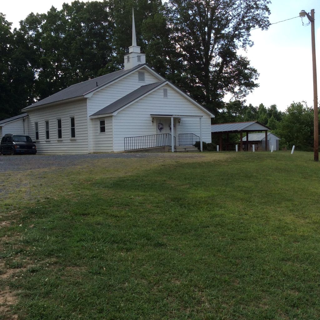
| Description | : | This Pleasant Hill United Methodist Church is an African American congregation at 6808 Riverside Rd., Seagrove, North Carolina, 27341. It is less than 7 miles from Pleasant Hill United Methodist Church at 5474 Pleasant Hill Rd., Seagrove NC 27341. There is also another Pleasant Hill United Methodist at 2624 Fuller Mill Rd, Thomasville, North Carolina, 27364. They are all 3 located in Randolph County. |
frequently asked questions (FAQ):
-
Where is Pleasant Hill United Methodist Church Cemetery?
Pleasant Hill United Methodist Church Cemetery is located at 6808 Riverside Rd Seagrove, Randolph County ,North Carolina , 27341USA.
-
Pleasant Hill United Methodist Church Cemetery cemetery's updated grave count on graveviews.com?
0 memorials
-
Where are the coordinates of the Pleasant Hill United Methodist Church Cemetery?
Latitude: 35.5641190
Longitude: -79.6124860

Nearby Cemetories:
1. Antioch Christian Church Cemetery
Seagrove, Randolph County, USA
Coordinate: 35.5847980, -79.6361780
2. Riverside Baptist Church Cemetery
Seagrove, Randolph County, USA
Coordinate: 35.5337430, -79.6099330
3. Maness Family Cemetery
Coleridge, Randolph County, USA
Coordinate: 35.5315700, -79.6235700
4. Pleasant Grove Christian Church Cemetery
Coleridge, Randolph County, USA
Coordinate: 35.5857160, -79.5783140
5. Mount Olivet United Methodist Church Cemetery
Coleridge, Randolph County, USA
Coordinate: 35.5527400, -79.6593200
6. Waddell Memorial Chapel Cemetery
Randolph County, USA
Coordinate: 35.5256450, -79.5795590
7. Mount Zion United Methodist Church Cemetery
Randolph County, USA
Coordinate: 35.5310430, -79.5624010
8. Trinity Wesleyan Church Cemetery
Seagrove, Randolph County, USA
Coordinate: 35.5439660, -79.6777180
9. Bennett Baptist Church Cemetery
Bennett, Chatham County, USA
Coordinate: 35.5602350, -79.5418390
10. Maple Springs United Methodist Church Cemetery
Ramseur, Randolph County, USA
Coordinate: 35.6190030, -79.5871860
11. Shiloh Baptist Church Cemetery
Ramseur, Randolph County, USA
Coordinate: 35.6115112, -79.6561737
12. Beulah Baptist Church Cemetery
Randolph County, USA
Coordinate: 35.5183320, -79.5662690
13. Deaton Family Cemetery
Chatham County, USA
Coordinate: 35.5353440, -79.5469330
14. Needham's Grove Baptist Church Cemetery
Robbins, Moore County, USA
Coordinate: 35.5069240, -79.6398630
15. Purvis Cemetery
Bennett, Chatham County, USA
Coordinate: 35.5184244, -79.5488155
16. Smyrna United Methodist Church Cemetery
Robbins, Moore County, USA
Coordinate: 35.4940200, -79.6097400
17. Piney Ridge UMC Cemetery
Seagrove, Randolph County, USA
Coordinate: 35.5898720, -79.6944330
18. Community Independent Baptist Church Cemetery
Seagrove, Randolph County, USA
Coordinate: 35.5187880, -79.6816070
19. Deep River Baptist Church Cemetery
Ramseur, Randolph County, USA
Coordinate: 35.6388700, -79.6247100
20. John D. Scott Graveyard
Harpers Crossroads, Chatham County, USA
Coordinate: 35.5519400, -79.5188900
21. Pleasant Hill United Methodist Church
Seagrove, Randolph County, USA
Coordinate: 35.5732574, -79.7067261
22. Glover United Church of Christ
Chatham County, USA
Coordinate: 35.6016667, -79.5283333
23. New Center Christian Church Cemetery
Seagrove, Randolph County, USA
Coordinate: 35.5335110, -79.7077100
24. Fall Creek Baptist Cemetery
Bennett, Chatham County, USA
Coordinate: 35.5272540, -79.5158190