
| Memorials | : | 1 |
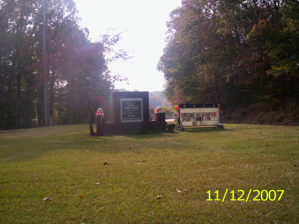
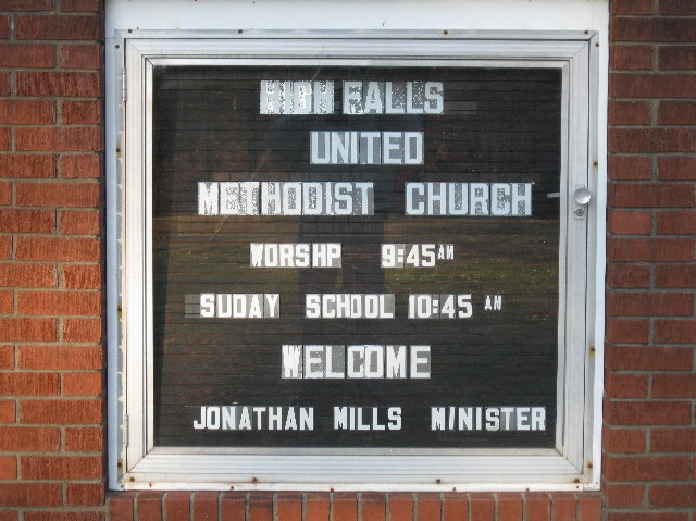
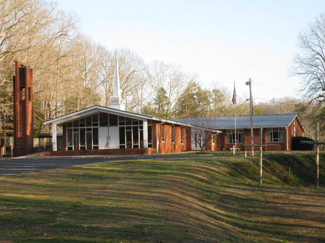
| Location | : | High Falls, Moore County, USA |
| Coordinate | : | 35.4803650, -79.5172570 |
frequently asked questions (FAQ):
-
Where is High Falls United Methodist Church Cemetery?
High Falls United Methodist Church Cemetery is located at High Falls, Moore County ,North Carolina ,USA.
-
High Falls United Methodist Church Cemetery cemetery's updated grave count on graveviews.com?
1 memorials
-
Where are the coordinates of the High Falls United Methodist Church Cemetery?
Latitude: 35.4803650
Longitude: -79.5172570
Nearby Cemetories:
1. High Falls Friends Church Cemetery
High Falls, Moore County, USA
Coordinate: 35.4872330, -79.5211110
2. Highfalls Wesleyan Church Cemetery
Robbins, Moore County, USA
Coordinate: 35.4976400, -79.5278600
3. Prosperity Friends Meeting Cemetery
High Falls, Moore County, USA
Coordinate: 35.4941040, -79.4942180
4. Pleasant Hill Methodist Church
Robbins, Moore County, USA
Coordinate: 35.4655685, -79.5528336
5. Pine Mountain Friends Church Cemetery
High Falls, Moore County, USA
Coordinate: 35.5122833, -79.4959946
6. New Bensalem Baptist Church Cemetery
Robbins, Moore County, USA
Coordinate: 35.5002970, -79.4791350
7. Purvis Cemetery
Bennett, Chatham County, USA
Coordinate: 35.5184244, -79.5488155
8. Fall Creek Baptist Cemetery
Bennett, Chatham County, USA
Coordinate: 35.5272540, -79.5158190
9. Elmodam Phillips Cemetery
Bear Creek, Chatham County, USA
Coordinate: 35.5211100, -79.4855600
10. Bellview AME Zion Church Cemetery
Robbins, Moore County, USA
Coordinate: 35.4397130, -79.5546770
11. New Testament Baptist Church Cemetery
Robbins, Moore County, USA
Coordinate: 35.4564730, -79.5728570
12. Putnam Friends Church Cemetery
Carthage, Moore County, USA
Coordinate: 35.4430860, -79.4723730
13. Chesley Jones Family Cemetery
Bear Creek, Chatham County, USA
Coordinate: 35.5322300, -79.5043200
14. Beulah Baptist Church Cemetery
Randolph County, USA
Coordinate: 35.5183320, -79.5662690
15. Deaton Family Cemetery
Chatham County, USA
Coordinate: 35.5353440, -79.5469330
16. Cool Springs Methodist Church Cemetery
Carthage, Moore County, USA
Coordinate: 35.4679260, -79.4444680
17. Old Cool Springs Methodist Church Cemetery
Glendon, Moore County, USA
Coordinate: 35.4682070, -79.4438800
18. Thomas J. Williams Cemetery
Robbins, Moore County, USA
Coordinate: 35.4233030, -79.5486440
19. Mount Zion United Methodist Church Cemetery
Randolph County, USA
Coordinate: 35.5310430, -79.5624010
20. Pine Rest Cemetery
Robbins, Moore County, USA
Coordinate: 35.4356003, -79.5738983
21. Friendship Baptist Church Cemetery
Carthage, Moore County, USA
Coordinate: 35.4245660, -79.4727640
22. Waddell Memorial Chapel Cemetery
Randolph County, USA
Coordinate: 35.5256450, -79.5795590
23. Cockman Cemetery
Robbins, Moore County, USA
Coordinate: 35.4133060, -79.5326550
24. Boroughs Family Cemetery
Bear Creek, Chatham County, USA
Coordinate: 35.5319150, -79.4605820