| Memorials | : | 0 |
| Location | : | Clark, Randolph County, USA |
| Coordinate | : | 39.3486230, -92.3101490 |
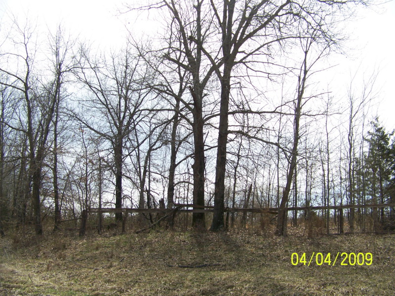
| Description | : | Located on the southeast corner of Rt NN & CR 2769 close to the Monroe Co line. Birkhead also spelled as Burkhead, Burckhead, Birckhead. Local residents remember there being more stones here many years ago. I only found one headstone, one footstone, and one metal funeral home marker with no name. Some of these burials here come from newspaper death notices and death certificates. |
frequently asked questions (FAQ):
-
Where is Birkhead Cemetery?
Birkhead Cemetery is located at Clark, Randolph County ,Missouri ,USA.
-
Birkhead Cemetery cemetery's updated grave count on graveviews.com?
0 memorials
-
Where are the coordinates of the Birkhead Cemetery?
Latitude: 39.3486230
Longitude: -92.3101490
Nearby Cemetories:
1. New Hope Cemetery
Clark, Randolph County, USA
Coordinate: 39.3485030, -92.3280720
2. Stephens Cemetery
Middle Grove, Monroe County, USA
Coordinate: 39.3695100, -92.2960100
3. Settle Cemetery
Middle Grove, Monroe County, USA
Coordinate: 39.3723100, -92.2777000
4. Dulaney Cemetery
Moberly, Randolph County, USA
Coordinate: 39.3851850, -92.3099830
5. Delaney-Embree Cemetery
Randolph County, USA
Coordinate: 39.3667240, -92.3516240
6. Macedonia Cemetery
Audrain County, USA
Coordinate: 39.3177700, -92.2818780
7. Brooks-Mobley Cemetery
Randolph County, USA
Coordinate: 39.3838040, -92.3529620
8. Engle Cemetery
Middle Grove, Monroe County, USA
Coordinate: 39.3958940, -92.2951640
9. Moberly Mennonite Church Cemetery
Moberly, Randolph County, USA
Coordinate: 39.3500670, -92.3735083
10. Crews-Adams Cemetery
Randolph County, USA
Coordinate: 39.2990210, -92.3256260
11. Irons Cemetery
Moberly, Randolph County, USA
Coordinate: 39.3797900, -92.3710200
12. Middle Grove Cemetery
Monroe County, USA
Coordinate: 39.3976200, -92.2650400
13. Dunn Family Cemetery
Moberly, Randolph County, USA
Coordinate: 39.4076800, -92.3298700
14. Pleasant Grove Cemetery
Audrain County, USA
Coordinate: 39.3022900, -92.2536200
15. Mount Vernon Cemetery
Clark, Randolph County, USA
Coordinate: 39.2980990, -92.3704250
16. Meals Cemetery
Randolph County, USA
Coordinate: 39.4099998, -92.3632965
17. Mount Pisgah Cemetery
Audrain County, USA
Coordinate: 39.2731500, -92.2908000
18. Old Prairie Cemetery
Monroe County, USA
Coordinate: 39.4033012, -92.2380981
19. Old Pioneer, New Design Cemetery
Monroe County, USA
Coordinate: 39.4209000, -92.2708000
20. Snell Cemetery
Monroe County, USA
Coordinate: 39.4261000, -92.2712000
21. Caleb Embree Cemetery
Monroe County, USA
Coordinate: 39.4324000, -92.3067000
22. Elington-Rice Cemetery
Randolph County, USA
Coordinate: 39.2744100, -92.3659200
23. Chapel Grove Cemetery
Clark, Randolph County, USA
Coordinate: 39.2658005, -92.3424988
24. Embree Cemetery
Monroe County, USA
Coordinate: 39.4351900, -92.2958600


