
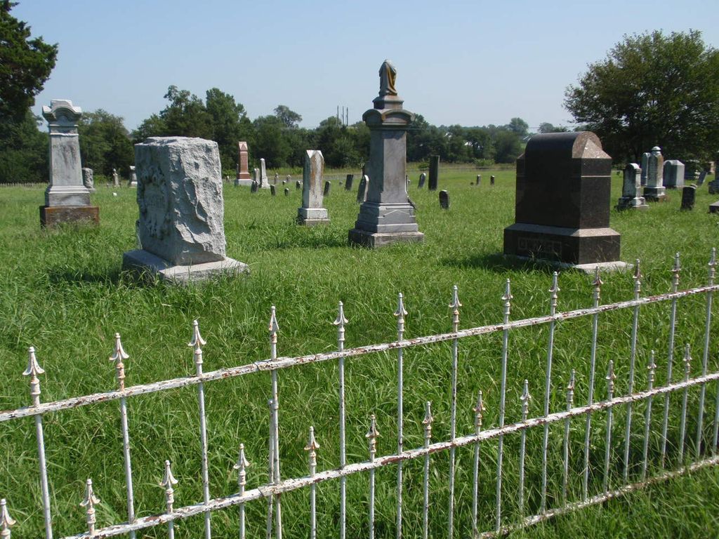
| Memorials | : | 4 |
| Location | : | Audrain County, USA |
| Coordinate | : | 39.2731500, -92.2908000 |
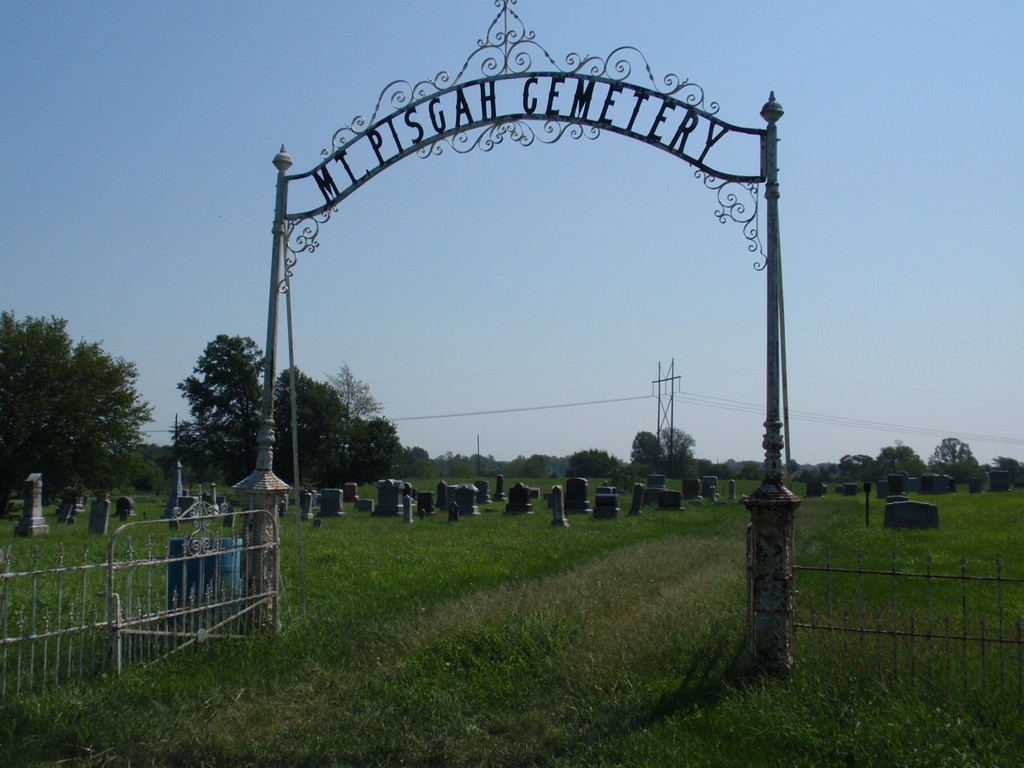
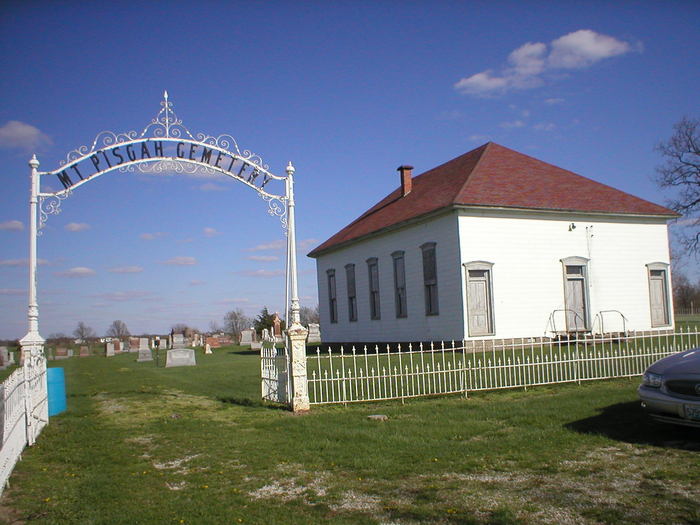
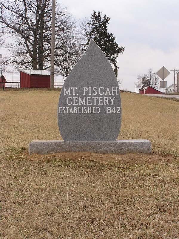
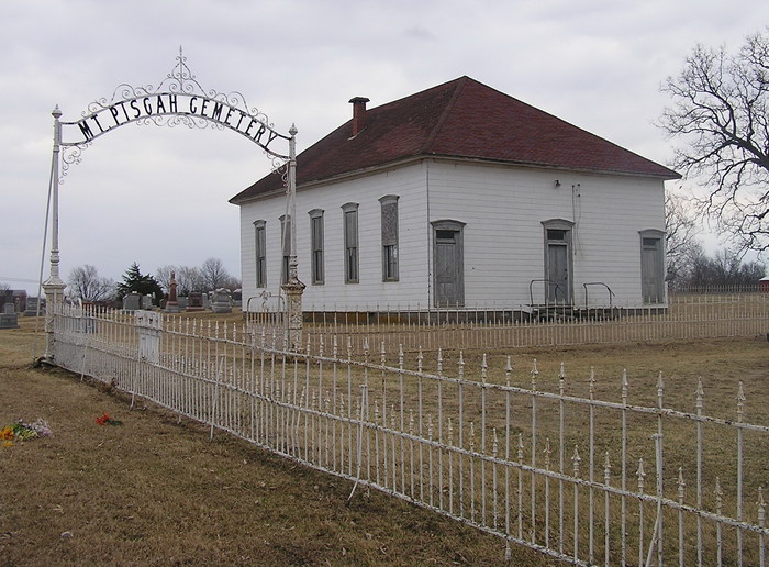
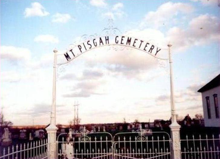
| Description | : | The closest sizeable community to Mount Pisgah Cemetery is Sturgeon, which is in northeastern Boone County. From Sturgeon, head north on Fairgrounds Avenue from the intersection of W Smith, Wall, and Jones Streets. After 0.7 miles, turn left on Missouri SR 22, then turn right on County Highway Y after 0.4 mile. Drive 1.9 miles northward and the entrance to Mount Pisgah Cemetery will be on your right. Total distance is about 3.0 miles. |
frequently asked questions (FAQ):
-
Where is Mount Pisgah Cemetery?
Mount Pisgah Cemetery is located at Audrain County ,Missouri ,USA.
-
Mount Pisgah Cemetery cemetery's updated grave count on graveviews.com?
3 memorials
-
Where are the coordinates of the Mount Pisgah Cemetery?
Latitude: 39.2731500
Longitude: -92.2908000

Nearby Cemetories:
1. Crews-Adams Cemetery
Randolph County, USA
Coordinate: 39.2990210, -92.3256260
2. Sturgeon Cemetery
Sturgeon, Boone County, USA
Coordinate: 39.2331009, -92.2936020
3. Chapel Grove Cemetery
Clark, Randolph County, USA
Coordinate: 39.2658005, -92.3424988
4. Pleasant Grove Cemetery
Audrain County, USA
Coordinate: 39.3022900, -92.2536200
5. Macedonia Cemetery
Audrain County, USA
Coordinate: 39.3177700, -92.2818780
6. Brink-Gibson Cemetery
Sturgeon, Boone County, USA
Coordinate: 39.2195540, -92.2956280
7. Mount Horeb Cemetery
Sturgeon, Boone County, USA
Coordinate: 39.2158012, -92.2842026
8. Elington-Rice Cemetery
Randolph County, USA
Coordinate: 39.2744100, -92.3659200
9. Mount Vernon Cemetery
Clark, Randolph County, USA
Coordinate: 39.2980990, -92.3704250
10. Applemans Chapel Cemetery
Saling, Audrain County, USA
Coordinate: 39.2646600, -92.1972400
11. Lick Fork Cemetery
Sturgeon, Boone County, USA
Coordinate: 39.2139282, -92.3494873
12. Birkhead Cemetery
Clark, Randolph County, USA
Coordinate: 39.3486230, -92.3101490
13. New Hope Cemetery
Clark, Randolph County, USA
Coordinate: 39.3485030, -92.3280720
14. Far West Cemetery
Sturgeon, Boone County, USA
Coordinate: 39.1986008, -92.2388992
15. Palmer Cemetery
Bourbon Township, Boone County, USA
Coordinate: 39.1880989, -92.2833023
16. Stephens Cemetery
Middle Grove, Monroe County, USA
Coordinate: 39.3695100, -92.2960100
17. Robinson Cemetery
Rucker, Boone County, USA
Coordinate: 39.2265500, -92.4009200
18. Fountain Cemetery
Boone County, USA
Coordinate: 39.1963997, -92.2118988
19. Bruce Cemetery
Clark, Randolph County, USA
Coordinate: 39.2559260, -92.4175290
20. Settle Cemetery
Middle Grove, Monroe County, USA
Coordinate: 39.3723100, -92.2777000
21. Ruth Nowell Burial
Sturgeon, Boone County, USA
Coordinate: 39.1734026, -92.2921461
22. Moberly Mennonite Church Cemetery
Moberly, Randolph County, USA
Coordinate: 39.3500670, -92.3735083
23. Fairview Cemetery
Randolph County, USA
Coordinate: 39.2649994, -92.4229965
24. Delaney-Embree Cemetery
Randolph County, USA
Coordinate: 39.3667240, -92.3516240