
| Memorials | : | 0 |
| Location | : | Randolph County, USA |
| Coordinate | : | 39.2744100, -92.3659200 |
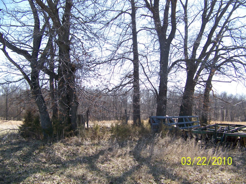
| Description | : | Located in T52 R13 S27 on the south side of Rt B just west of CR 2970. There could be more burials here than those listed. |
frequently asked questions (FAQ):
-
Where is Elington-Rice Cemetery?
Elington-Rice Cemetery is located at Randolph County ,Missouri ,USA.
-
Elington-Rice Cemetery cemetery's updated grave count on graveviews.com?
0 memorials
-
Where are the coordinates of the Elington-Rice Cemetery?
Latitude: 39.2744100
Longitude: -92.3659200

Nearby Cemetories:
1. Chapel Grove Cemetery
Clark, Randolph County, USA
Coordinate: 39.2658005, -92.3424988
2. Mount Vernon Cemetery
Clark, Randolph County, USA
Coordinate: 39.2980990, -92.3704250
3. Crews-Adams Cemetery
Randolph County, USA
Coordinate: 39.2990210, -92.3256260
4. Bruce Cemetery
Clark, Randolph County, USA
Coordinate: 39.2559260, -92.4175290
5. Fairview Cemetery
Randolph County, USA
Coordinate: 39.2649994, -92.4229965
6. Robinson Cemetery
Rucker, Boone County, USA
Coordinate: 39.2265500, -92.4009200
7. Mount Pisgah Cemetery
Audrain County, USA
Coordinate: 39.2731500, -92.2908000
8. Lick Fork Cemetery
Sturgeon, Boone County, USA
Coordinate: 39.2139282, -92.3494873
9. Hardin Cemetery
Randolph County, USA
Coordinate: 39.3103770, -92.4387990
10. Sturgeon Cemetery
Sturgeon, Boone County, USA
Coordinate: 39.2331009, -92.2936020
11. Perkins Cemetery
Randolph County, USA
Coordinate: 39.3106150, -92.4488880
12. Hamilton Cemetery
Randolph County, USA
Coordinate: 39.3074989, -92.4514008
13. Moberly Mennonite Church Cemetery
Moberly, Randolph County, USA
Coordinate: 39.3500670, -92.3735083
14. Hubbard Cemetery
Randolph County, USA
Coordinate: 39.3341400, -92.4267300
15. Kimbrough-Brockman Cemetery
Randolph County, USA
Coordinate: 39.3285510, -92.4360870
16. Brink-Gibson Cemetery
Sturgeon, Boone County, USA
Coordinate: 39.2195540, -92.2956280
17. Macedonia Cemetery
Audrain County, USA
Coordinate: 39.3177700, -92.2818780
18. New Hope Cemetery
Clark, Randolph County, USA
Coordinate: 39.3485030, -92.3280720
19. Birkhead Cemetery
Clark, Randolph County, USA
Coordinate: 39.3486230, -92.3101490
20. Mount Horeb Cemetery
Sturgeon, Boone County, USA
Coordinate: 39.2158012, -92.2842026
21. Perche Church Cemetery
Rucker, Boone County, USA
Coordinate: 39.1990400, -92.4224400
22. Pleasant Grove Cemetery
Audrain County, USA
Coordinate: 39.3022900, -92.2536200
23. Floyd Cemetery
Randolph County, USA
Coordinate: 39.2678760, -92.4835420
24. Duffield Cemetery
Randolph County, USA
Coordinate: 39.2984110, -92.4802210