
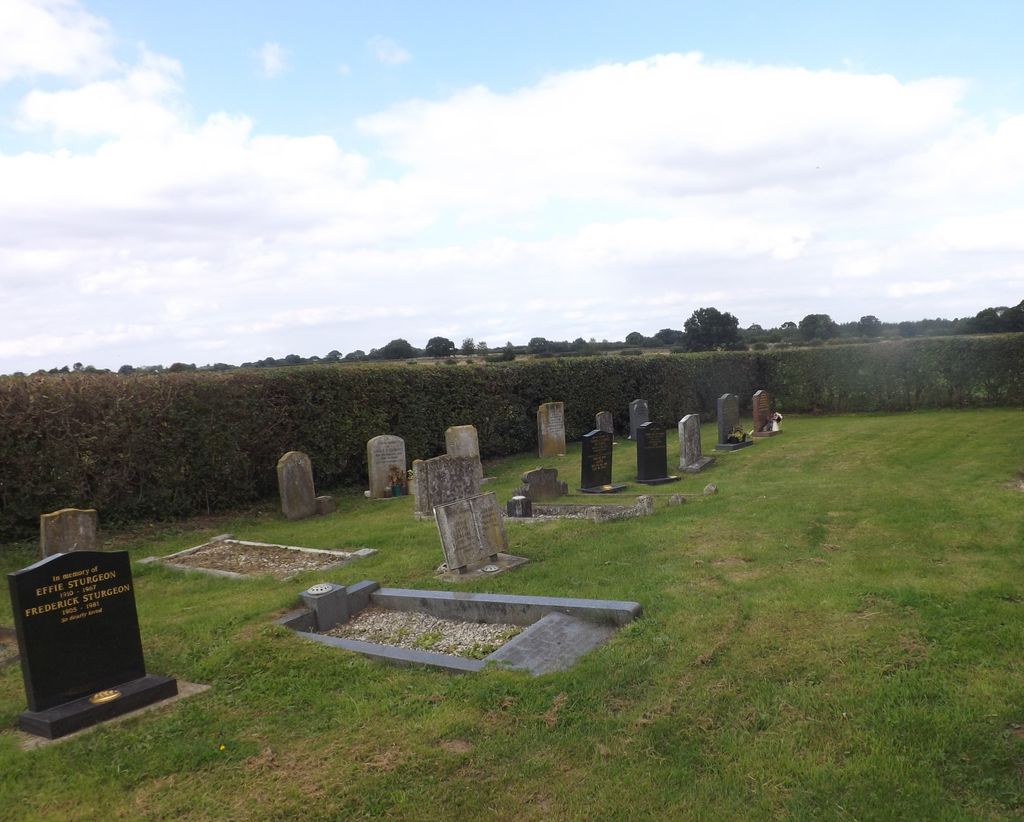
| Memorials | : | 0 |
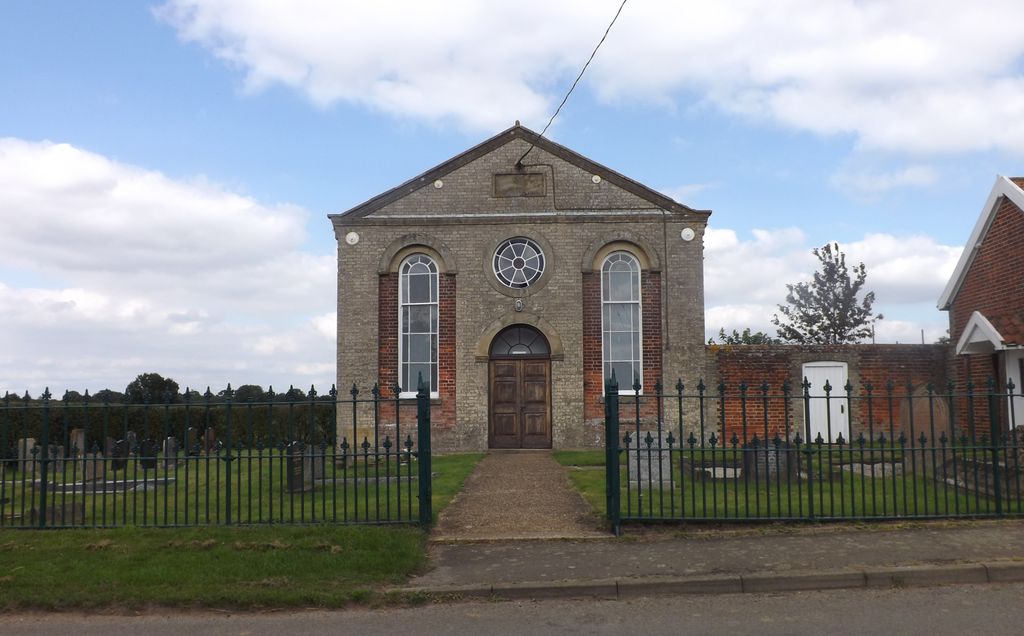
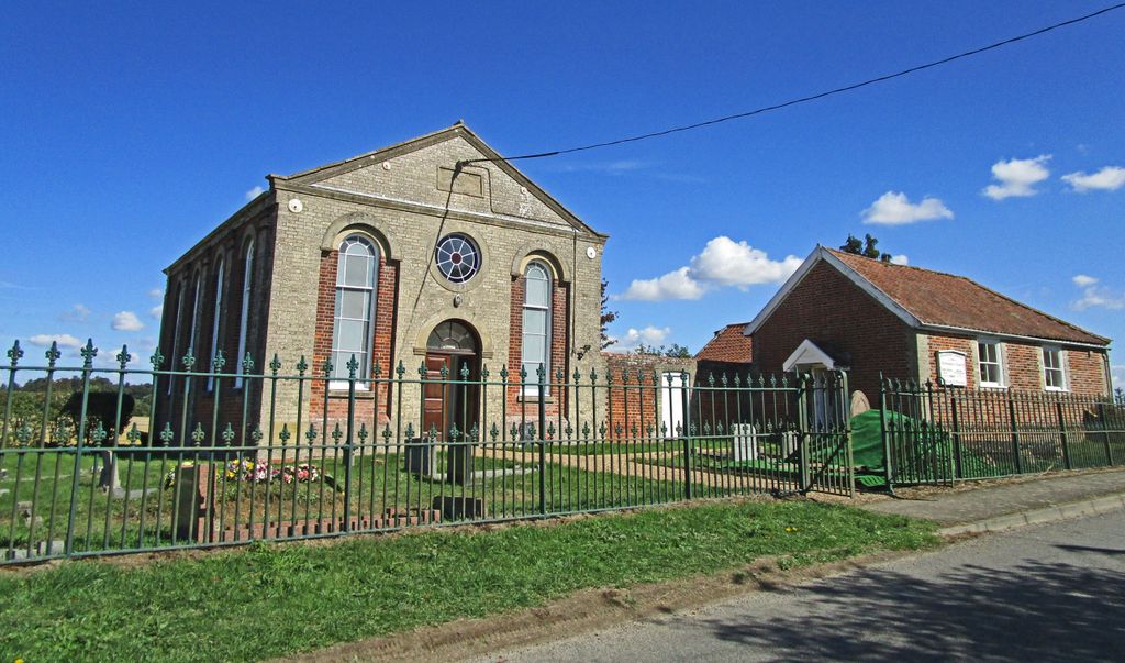
| Location | : | Bradfield Combust, St Edmundsbury Borough, England |
| Coordinate | : | 52.1727200, 0.7602400 |
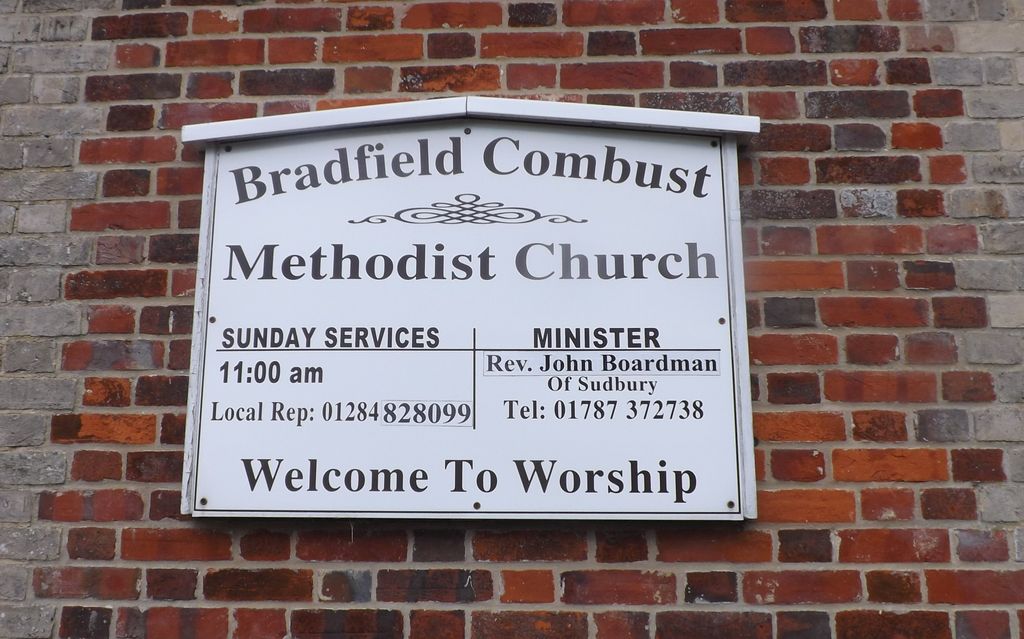
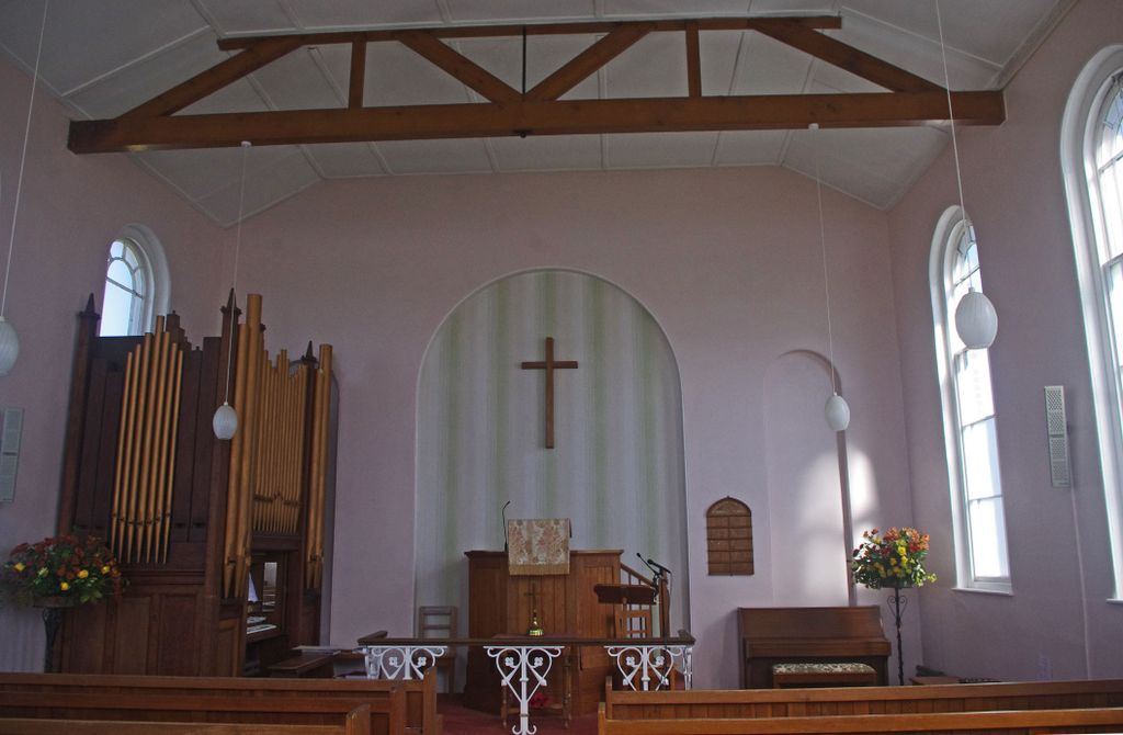
| Description | : | Bradfield Combust Methodist Church was founded in 1867. |
frequently asked questions (FAQ):
-
Where is Bradfield Combust Methodist Churchyard?
Bradfield Combust Methodist Churchyard is located at Chapel Road Bradfield Combust, St Edmundsbury Borough ,Suffolk ,England.
-
Bradfield Combust Methodist Churchyard cemetery's updated grave count on graveviews.com?
0 memorials
-
Where are the coordinates of the Bradfield Combust Methodist Churchyard?
Latitude: 52.1727200
Longitude: 0.7602400
Nearby Cemetories:
1. All Saints Churchyard
Bradfield Combust, St Edmundsbury Borough, England
Coordinate: 52.1814730, 0.7663800
2. St. Nicholas Churchyard
Stanningfield, St Edmundsbury Borough, England
Coordinate: 52.1734800, 0.7436500
3. St Peter's Churchyard
Cockfield, Babergh District, England
Coordinate: 52.1597570, 0.7826470
4. Cockfield Burial Ground
Cockfield, Babergh District, England
Coordinate: 52.1587375, 0.7894545
5. Saint Clare
Bradfield St Clare, St Edmundsbury Borough, England
Coordinate: 52.1854050, 0.7920340
6. Cockfield Congregational Churchyard
Cockfield, Babergh District, England
Coordinate: 52.1635212, 0.7976324
7. All Saints Churchyard
Lawshall, Babergh District, England
Coordinate: 52.1552780, 0.7239140
8. Church of St. Thomas à Becket
Great Whelnetham, St Edmundsbury Borough, England
Coordinate: 52.2003200, 0.7468860
9. St Mary Magdalene Churchyard
Little Whelnetham, St Edmundsbury Borough, England
Coordinate: 52.2062540, 0.7628880
10. Saint George Churchyard
Bradfield St George, St Edmundsbury Borough, England
Coordinate: 52.2045960, 0.7894600
11. All Saints Churchyard
Hawstead, St Edmundsbury Borough, England
Coordinate: 52.1998300, 0.7143900
12. St Peter's Churchyard
Nowton, St Edmundsbury Borough, England
Coordinate: 52.2109220, 0.7257590
13. St Nicholas Churchyard
Rushbrooke, St Edmundsbury Borough, England
Coordinate: 52.2193810, 0.7704070
14. Whepstead Baptist Churchyard
Whepstead, St Edmundsbury Borough, England
Coordinate: 52.1886000, 0.6873500
15. Whepstead Cemetery
Whepstead, St Edmundsbury Borough, England
Coordinate: 52.1922830, 0.6806830
16. St. Peter's Churchyard
Felsham, Mid Suffolk District, England
Coordinate: 52.1769650, 0.8458780
17. St. Petronilla Churchyard
Whepstead, St Edmundsbury Borough, England
Coordinate: 52.1919020, 0.6799150
18. Ss Peter & Paul Churchyard
Alpheton, Babergh District, England
Coordinate: 52.1207310, 0.7350230
19. St. Mary's Churchyard
Thorpe Morieux, Babergh District, England
Coordinate: 52.1443020, 0.8387590
20. St. Andrew's Churchyard
Brockley, St Edmundsbury Borough, England
Coordinate: 52.1675880, 0.6659170
21. Hartest Cemetery
Hartest, Babergh District, England
Coordinate: 52.1387840, 0.6819620
22. St. Mary's Churchyard
Gedding, Mid Suffolk District, England
Coordinate: 52.1865920, 0.8540510
23. All Saints Churchyard
Hartest, Babergh District, England
Coordinate: 52.1396780, 0.6793500
24. Brockley Baptist Chapel
Brockley, St Edmundsbury Borough, England
Coordinate: 52.1588990, 0.6650810