| Memorials | : | 0 |
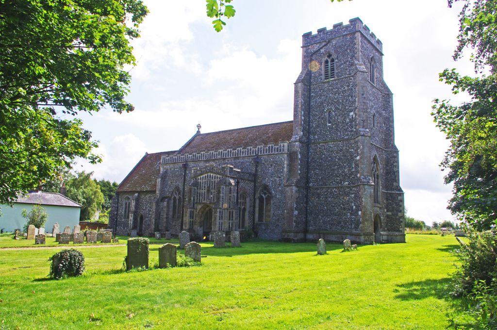
| Location | : | Felsham, Mid Suffolk District, England |
| Coordinate | : | 52.1769650, 0.8458780 |
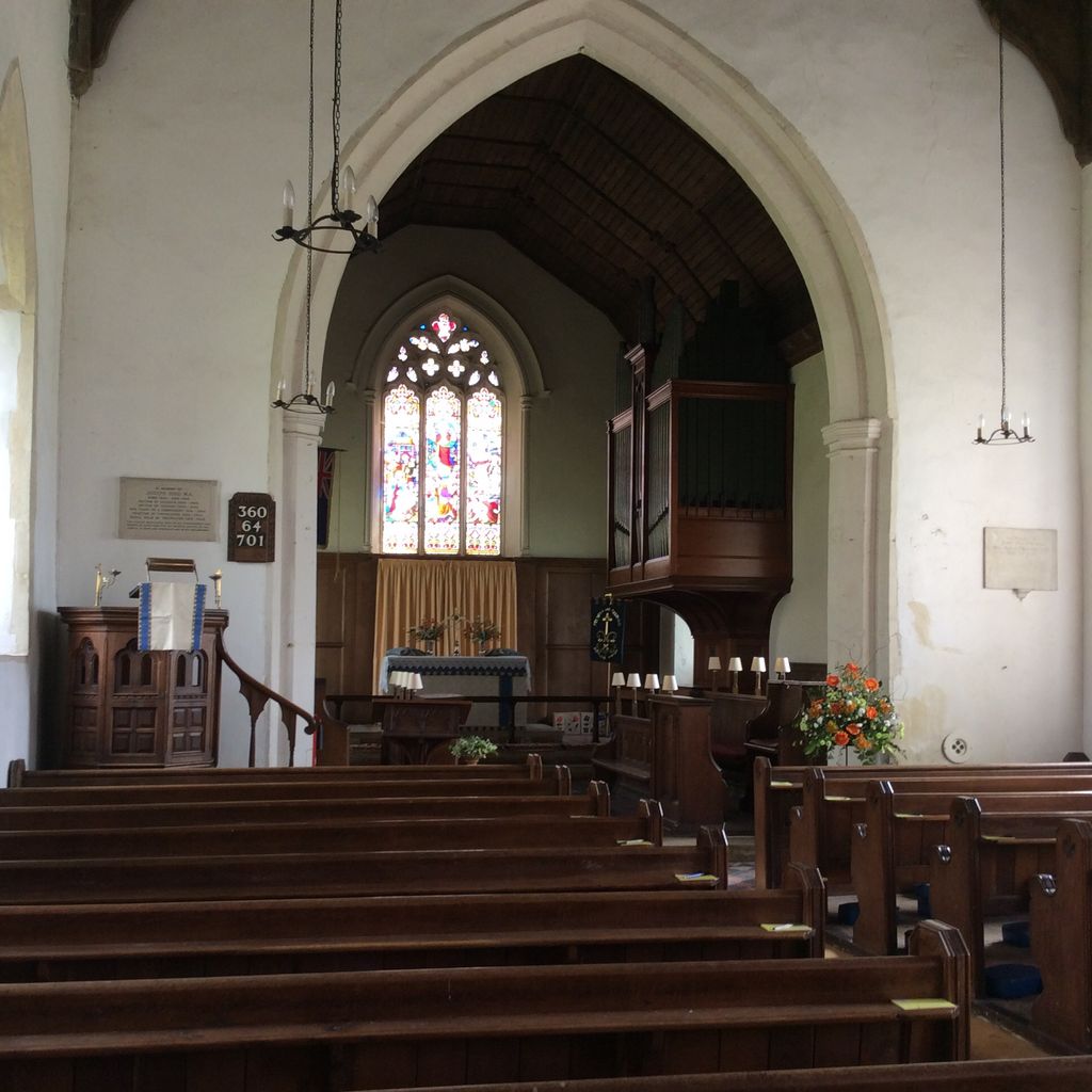
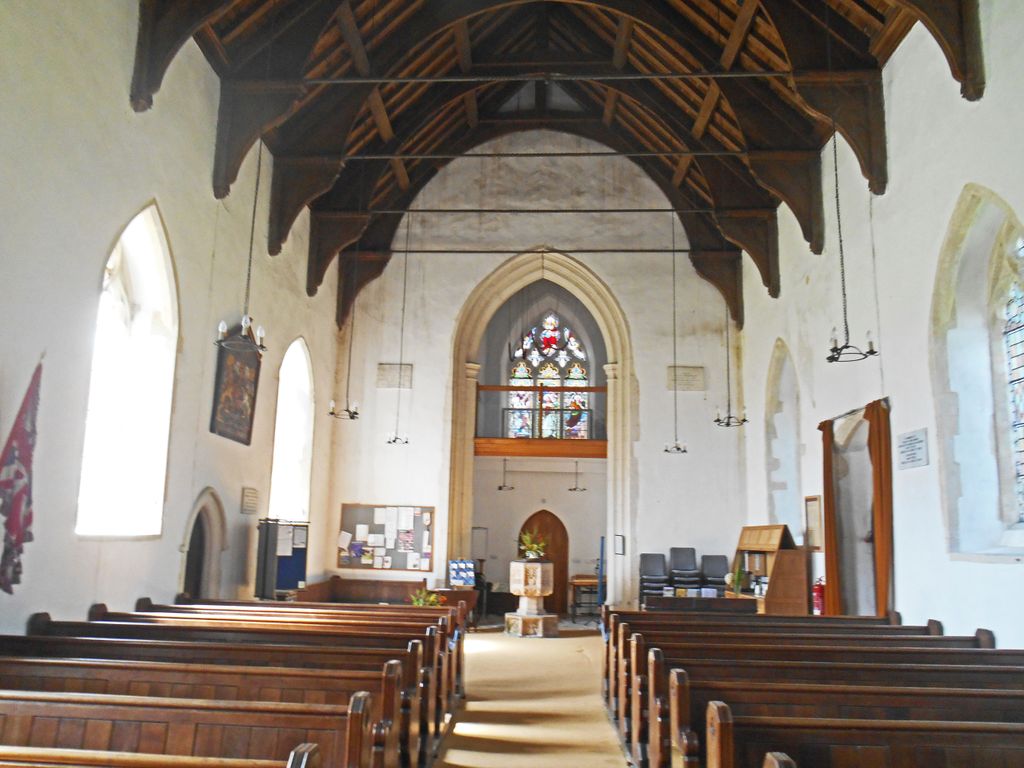
| Description | : | The church contains several roll of honour plaques, within the church, that commemorates the residents of Felsham and Gedding who were killed or missing in the First World War and the Second World War. |
frequently asked questions (FAQ):
-
Where is St. Peter's Churchyard?
St. Peter's Churchyard is located at Felsham, Mid Suffolk District ,Suffolk ,England.
-
St. Peter's Churchyard cemetery's updated grave count on graveviews.com?
0 memorials
-
Where are the coordinates of the St. Peter's Churchyard?
Latitude: 52.1769650
Longitude: 0.8458780
Nearby Cemetories:
1. St. Mary's Churchyard
Gedding, Mid Suffolk District, England
Coordinate: 52.1865920, 0.8540510
2. Rattlesden Baptist Church
Rattlesden, Mid Suffolk District, England
Coordinate: 52.1924020, 0.8885300
3. St. Mary The Virgin Churchyard
Brettenham, Babergh District, England
Coordinate: 52.1509480, 0.8742360
4. Cockfield Congregational Churchyard
Cockfield, Babergh District, England
Coordinate: 52.1635212, 0.7976324
5. St. Mary's Churchyard
Thorpe Morieux, Babergh District, England
Coordinate: 52.1443020, 0.8387590
6. St Nicholas Churchyard
Rattlesden, Mid Suffolk District, England
Coordinate: 52.1941810, 0.8926210
7. Saint Clare
Bradfield St Clare, St Edmundsbury Borough, England
Coordinate: 52.1854050, 0.7920340
8. Rattlesden Cemetery
Rattlesden, Mid Suffolk District, England
Coordinate: 52.1961530, 0.8947200
9. Cockfield Burial Ground
Cockfield, Babergh District, England
Coordinate: 52.1587375, 0.7894545
10. St Peter's Churchyard
Cockfield, Babergh District, England
Coordinate: 52.1597570, 0.7826470
11. All Saints Churchyard
Drinkstone, Mid Suffolk District, England
Coordinate: 52.2178910, 0.8674070
12. Saint George Churchyard
Bradfield St George, St Edmundsbury Borough, England
Coordinate: 52.2045960, 0.7894600
13. St Ethelbert Churchyard
Hessett, Mid Suffolk District, England
Coordinate: 52.2206810, 0.8341060
14. All Saints Churchyard
Bradfield Combust, St Edmundsbury Borough, England
Coordinate: 52.1814730, 0.7663800
15. Saint Mary's Churchyard
Buxhall, Mid Suffolk District, England
Coordinate: 52.1803740, 0.9283610
16. Bradfield Combust Methodist Churchyard
Bradfield Combust, St Edmundsbury Borough, England
Coordinate: 52.1727200, 0.7602400
17. All Saints Churchyard
Beyton, Mid Suffolk District, England
Coordinate: 52.2290300, 0.8301100
18. King Charles the Martyr Churchyard
Shelland, Mid Suffolk District, England
Coordinate: 52.2039070, 0.9307170
19. St Mary Magdalene Churchyard
Little Whelnetham, St Edmundsbury Borough, England
Coordinate: 52.2062540, 0.7628880
20. St. Mary's Churchyard
Rougham, St Edmundsbury Borough, England
Coordinate: 52.2281900, 0.7982200
21. St. Mary's Churchyard
Rougham, Breckland Borough, England
Coordinate: 52.2286060, 0.7981210
22. St Mary's Churchyard
Preston St Mary, Babergh District, England
Coordinate: 52.1166280, 0.8410180
23. St. Andrew's Churchyard
Great Finborough, Mid Suffolk District, England
Coordinate: 52.1829290, 0.9439440
24. St Nicholas Churchyard
Rushbrooke, St Edmundsbury Borough, England
Coordinate: 52.2193810, 0.7704070


