
| Memorials | : | 0 |
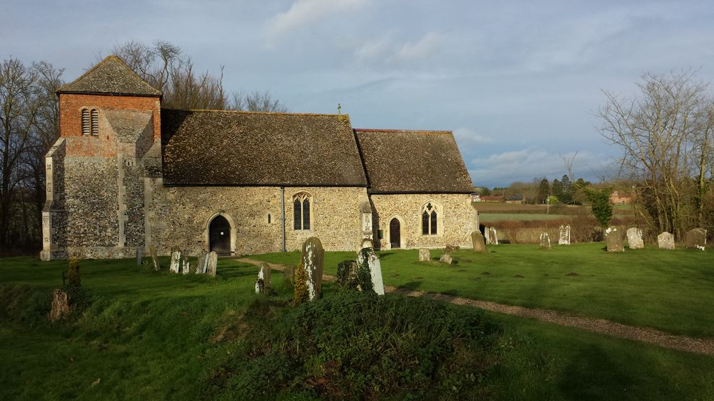
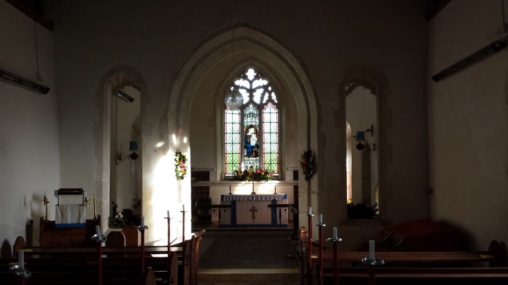
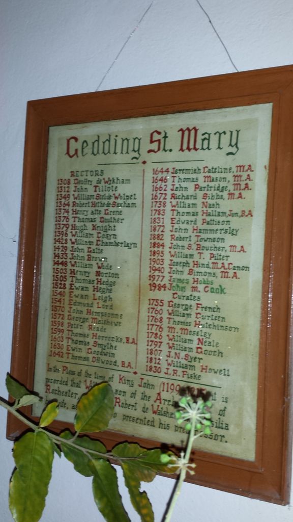
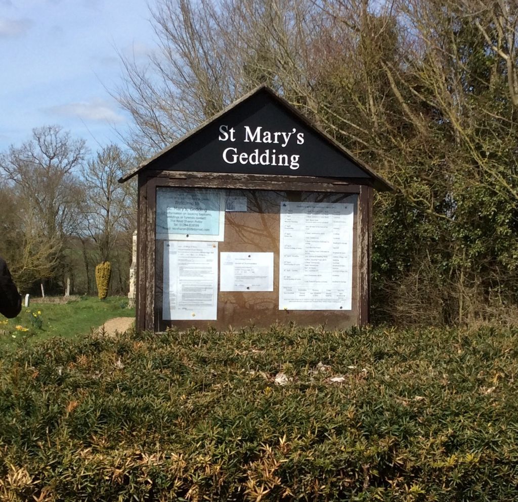
| Location | : | Gedding, Mid Suffolk District, England |
| Coordinate | : | 52.1865920, 0.8540510 |
frequently asked questions (FAQ):
-
Where is St. Mary's Churchyard?
St. Mary's Churchyard is located at Gedding, Mid Suffolk District ,Suffolk ,England.
-
St. Mary's Churchyard cemetery's updated grave count on graveviews.com?
0 memorials
-
Where are the coordinates of the St. Mary's Churchyard?
Latitude: 52.1865920
Longitude: 0.8540510
Nearby Cemetories:
1. St. Peter's Churchyard
Felsham, Mid Suffolk District, England
Coordinate: 52.1769650, 0.8458780
2. Rattlesden Baptist Church
Rattlesden, Mid Suffolk District, England
Coordinate: 52.1924020, 0.8885300
3. St Nicholas Churchyard
Rattlesden, Mid Suffolk District, England
Coordinate: 52.1941810, 0.8926210
4. Rattlesden Cemetery
Rattlesden, Mid Suffolk District, England
Coordinate: 52.1961530, 0.8947200
5. All Saints Churchyard
Drinkstone, Mid Suffolk District, England
Coordinate: 52.2178910, 0.8674070
6. St Ethelbert Churchyard
Hessett, Mid Suffolk District, England
Coordinate: 52.2206810, 0.8341060
7. St. Mary The Virgin Churchyard
Brettenham, Babergh District, England
Coordinate: 52.1509480, 0.8742360
8. Saint Clare
Bradfield St Clare, St Edmundsbury Borough, England
Coordinate: 52.1854050, 0.7920340
9. Cockfield Congregational Churchyard
Cockfield, Babergh District, England
Coordinate: 52.1635212, 0.7976324
10. St. Mary's Churchyard
Thorpe Morieux, Babergh District, England
Coordinate: 52.1443020, 0.8387590
11. Saint George Churchyard
Bradfield St George, St Edmundsbury Borough, England
Coordinate: 52.2045960, 0.7894600
12. All Saints Churchyard
Beyton, Mid Suffolk District, England
Coordinate: 52.2290300, 0.8301100
13. Saint Mary's Churchyard
Buxhall, Mid Suffolk District, England
Coordinate: 52.1803740, 0.9283610
14. Cockfield Burial Ground
Cockfield, Babergh District, England
Coordinate: 52.1587375, 0.7894545
15. King Charles the Martyr Churchyard
Shelland, Mid Suffolk District, England
Coordinate: 52.2039070, 0.9307170
16. St Peter's Churchyard
Cockfield, Babergh District, England
Coordinate: 52.1597570, 0.7826470
17. St. Mary's Churchyard
Rougham, St Edmundsbury Borough, England
Coordinate: 52.2281900, 0.7982200
18. Elmswell Cemetery
Elmswell, Mid Suffolk District, England
Coordinate: 52.2328720, 0.8992110
19. All Saints Churchyard
Bradfield Combust, St Edmundsbury Borough, England
Coordinate: 52.1814730, 0.7663800
20. St. Mary's Churchyard
Rougham, Breckland Borough, England
Coordinate: 52.2286060, 0.7981210
21. St. Andrew's Churchyard
Great Finborough, Mid Suffolk District, England
Coordinate: 52.1829290, 0.9439440
22. St John the Divine Churchyard
Elmswell, Mid Suffolk District, England
Coordinate: 52.2350000, 0.9014815
23. Bradfield Combust Methodist Churchyard
Bradfield Combust, St Edmundsbury Borough, England
Coordinate: 52.1727200, 0.7602400
24. St John the Baptist Churchyard
Onehouse, Mid Suffolk District, England
Coordinate: 52.1956290, 0.9495420