| Memorials | : | 49 |
| Location | : | Orrick, Ray County, USA |
| Coordinate | : | 39.2262573, -94.0856857 |
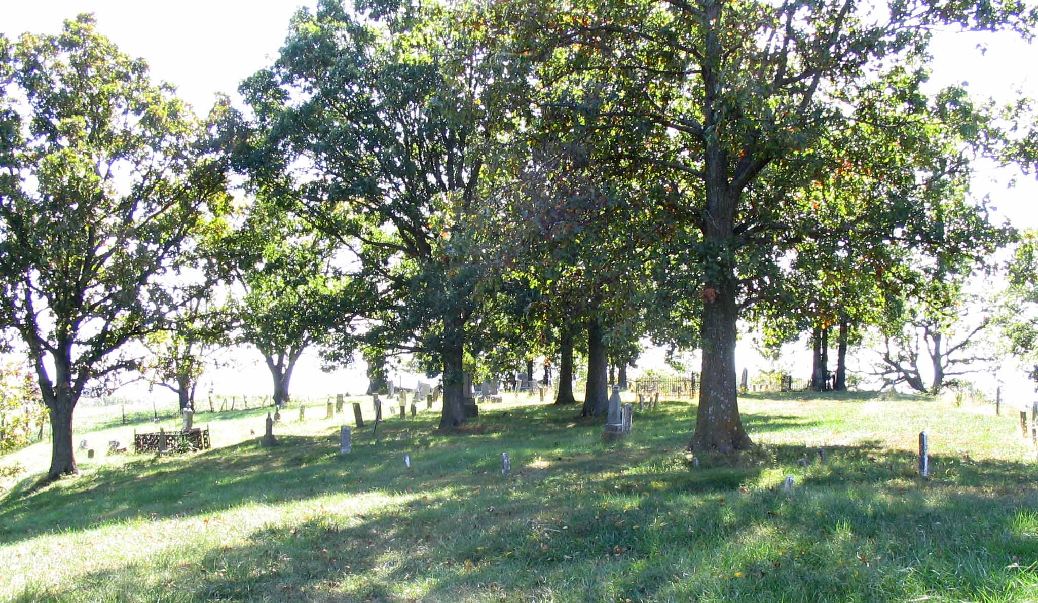
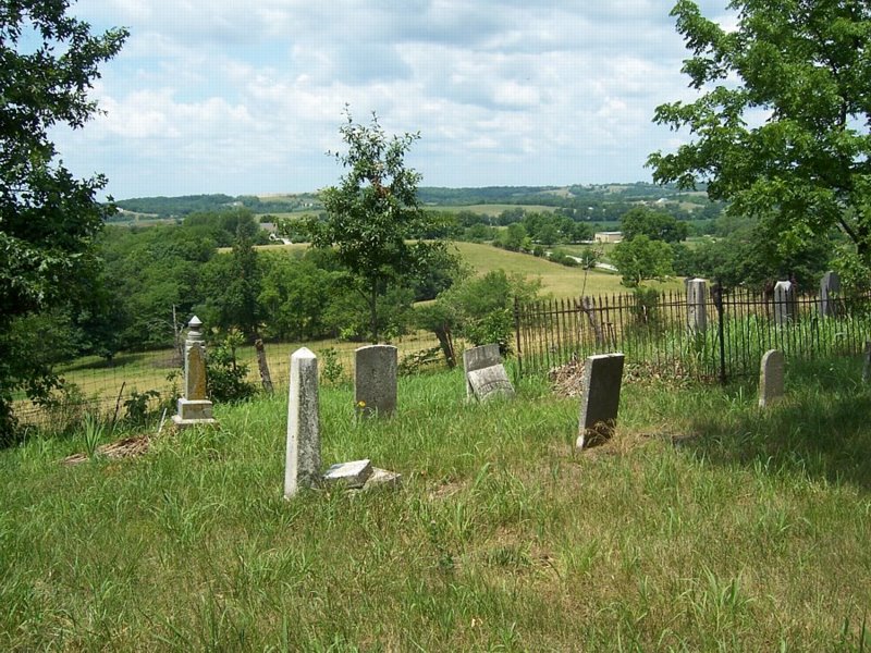
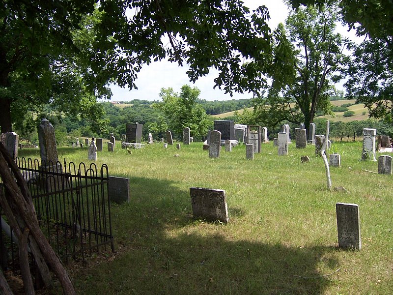
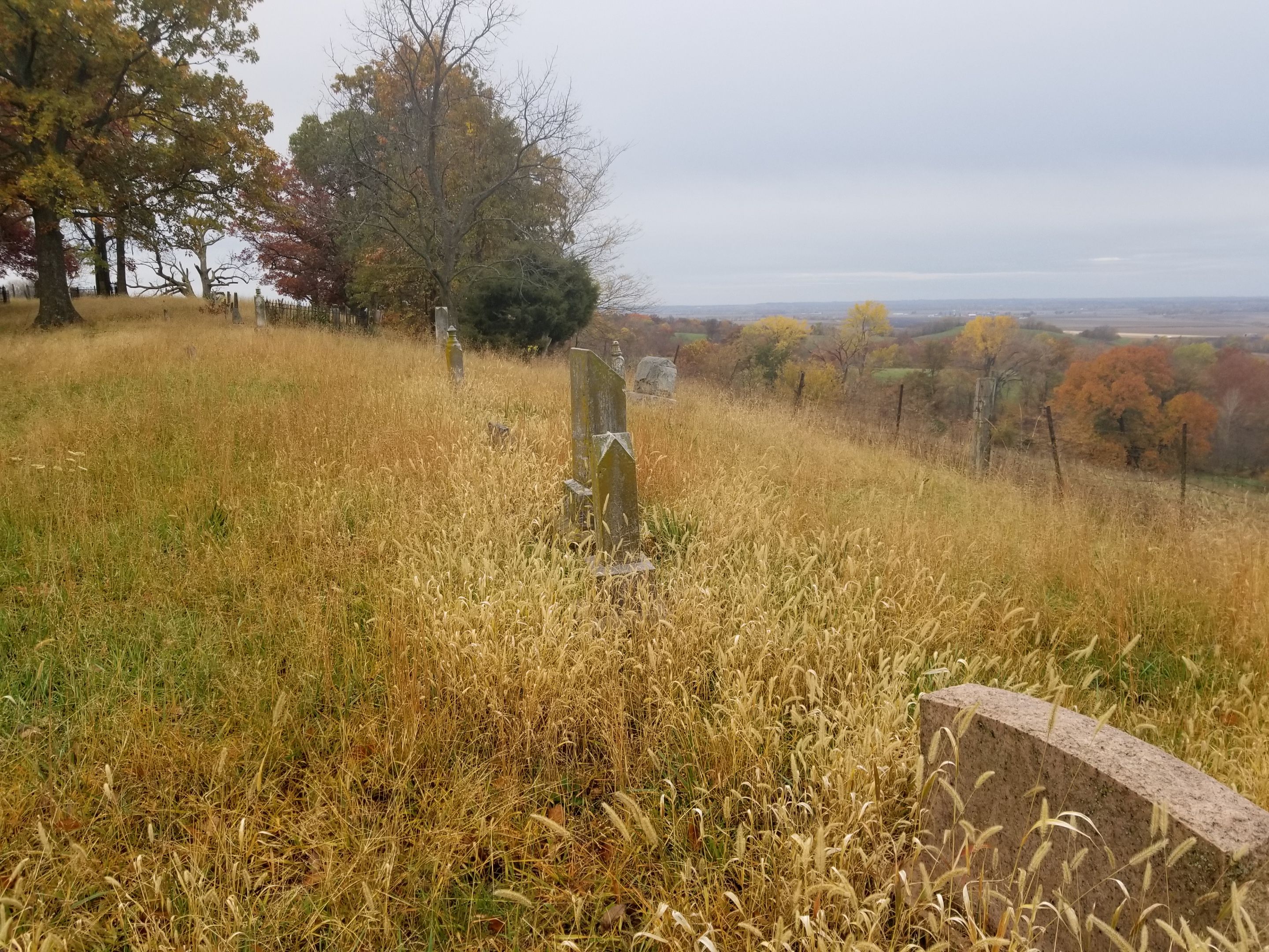
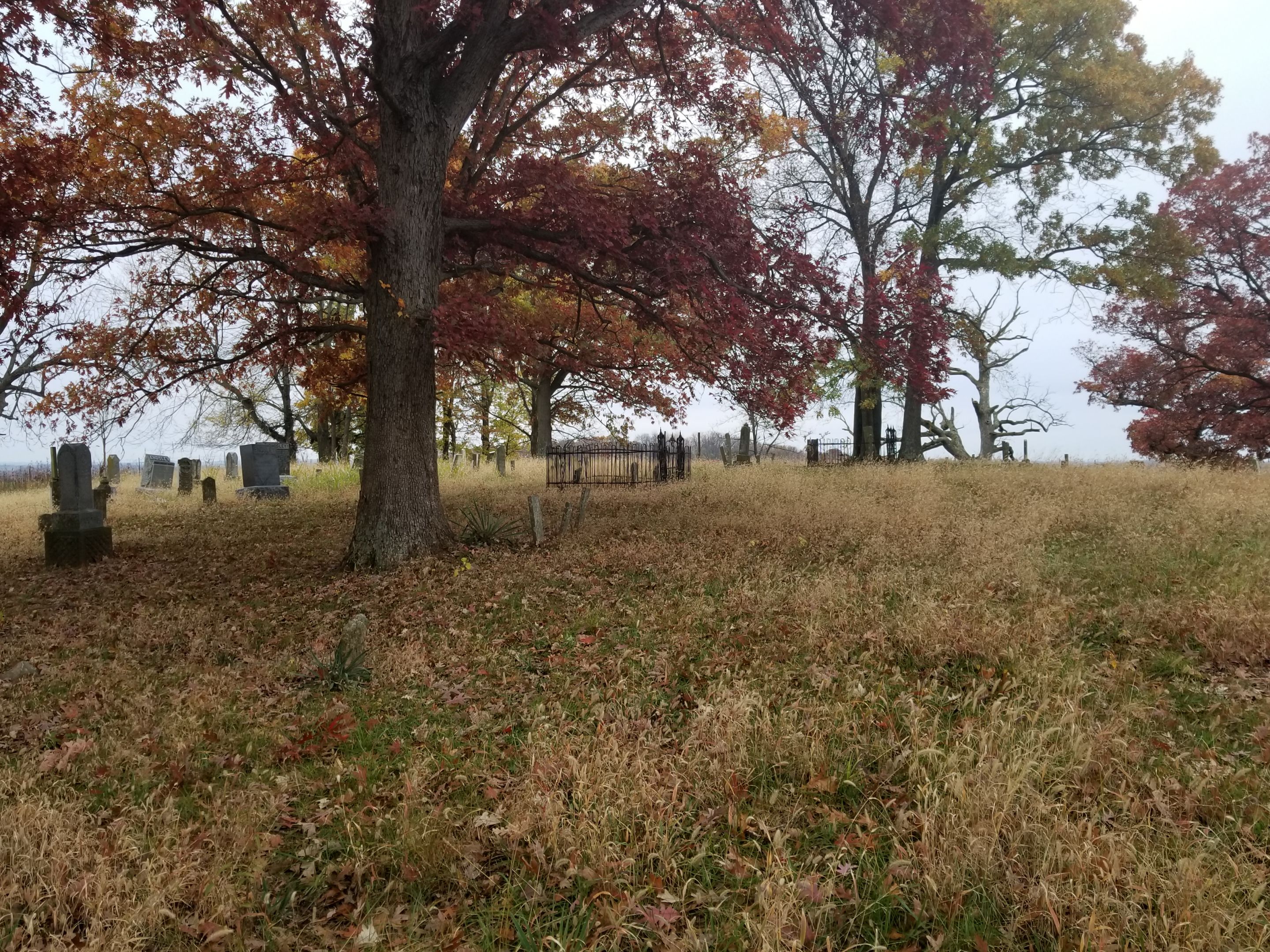
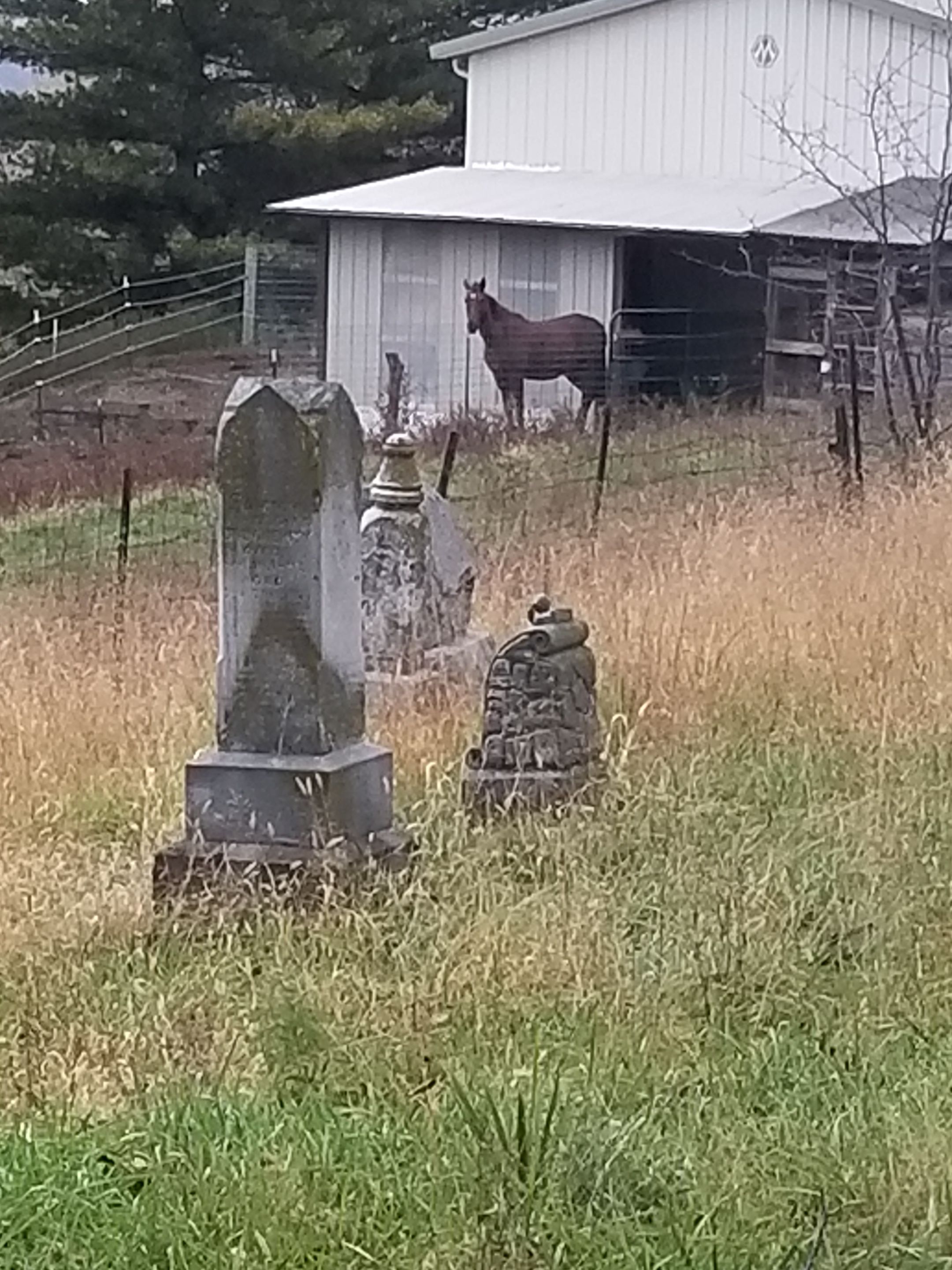
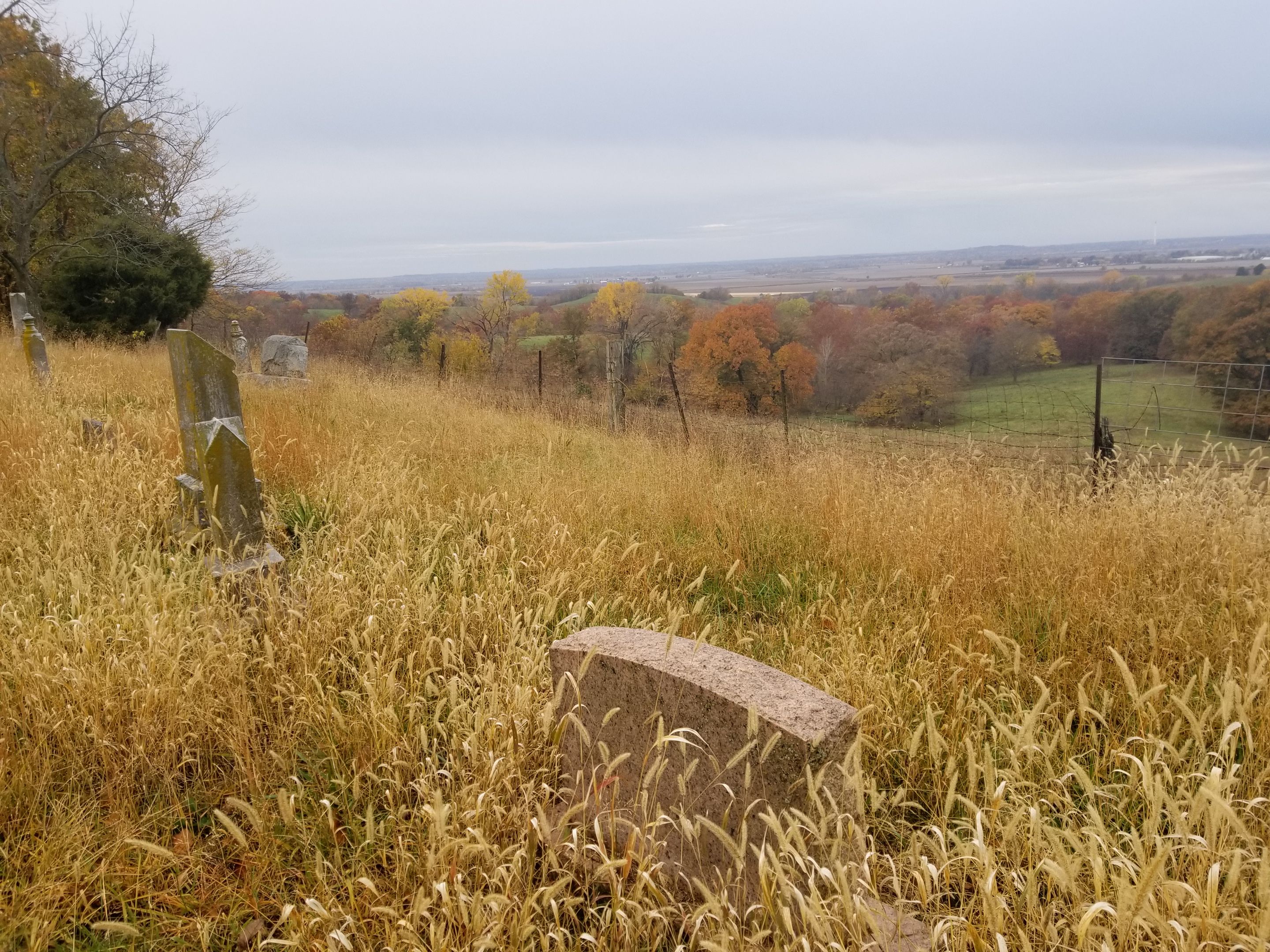
| Description | : | The Brasher Cemetery located .8 mile off highway 210 on RT. EE, is one of the oldest in Ray county. It is believed the original land was donated by the ENDSLEY and BRASHER families. The first burial was that of Thomas P. Craig, a nine month old baby who died on 11 July 1836. Thus far, between 210-225 names have been recorded from tombstones; but there were others whose graves are unmarked stones. In 1976 Mr and Mrs Art Moore tracked down the cemetery in order to locate the graves of Mr. Moore's great grandparents Mr. and mrs. George Williams.... Read More |
frequently asked questions (FAQ):
-
Where is Brasher Cemetery?
Brasher Cemetery is located at Orrick, Ray County ,Missouri ,USA.
-
Brasher Cemetery cemetery's updated grave count on graveviews.com?
49 memorials
-
Where are the coordinates of the Brasher Cemetery?
Latitude: 39.2262573
Longitude: -94.0856857
Nearby Cemetories:
1. South Point Cemetery
Orrick, Ray County, USA
Coordinate: 39.2233009, -94.0978012
2. Bates Cemetery
Ray County, USA
Coordinate: 39.2385200, -94.0892300
3. Lewis Cemetery
Orrick, Ray County, USA
Coordinate: 39.2386017, -94.0935974
4. Jackson Family Cemetery
Richmond, Ray County, USA
Coordinate: 39.2174030, -94.0568710
5. Old Albany Cemetery
Orrick, Ray County, USA
Coordinate: 39.2265885, -94.1210713
6. Stokes Cemetery
Ray County, USA
Coordinate: 39.2270600, -94.1225900
7. Thomas A. Brown Cemetery
Richmond, Ray County, USA
Coordinate: 39.2503300, -94.0654800
8. Gordon Cemetery
Orrick, Ray County, USA
Coordinate: 39.2552986, -94.0871964
9. Tucker-Gryder Cemetery
Richmond, Ray County, USA
Coordinate: 39.2411800, -94.1198700
10. Dorton Cemetery
Orrick, Ray County, USA
Coordinate: 39.1960900, -94.1137100
11. Happy Cemetery
Ray County, USA
Coordinate: 39.2121560, -94.0392570
12. Smith-Jackson-Remley Cemetery
Fleming, Ray County, USA
Coordinate: 39.1951500, -94.0532100
13. New Hope Primitive Baptist Church and Cemetery
Bluffton, Ray County, USA
Coordinate: 39.2497220, -94.0433330
14. Craig Cemetery
Richmond, Ray County, USA
Coordinate: 39.2452400, -94.0378800
15. Covey Cemetery
Ray County, USA
Coordinate: 39.2702713, -94.0865707
16. JB Tombstone
Richmond, Ray County, USA
Coordinate: 39.2702713, -94.0865707
17. Camden City Cemetery
Camden, Ray County, USA
Coordinate: 39.1936700, -94.0470800
18. Brockman-Hudgeons Cemetery
Camden, Ray County, USA
Coordinate: 39.2153900, -94.0238700
19. Riffe Cemetery
Orrick, Ray County, USA
Coordinate: 39.2514000, -94.1492004
20. Rowland Cemetery
Ray County, USA
Coordinate: 39.2694016, -94.1389008
21. Brand Family Cemetery
Richmond, Ray County, USA
Coordinate: 39.2864600, -94.0908800
22. Cravens Cemetery
Camden, Ray County, USA
Coordinate: 39.2118988, -94.0014038
23. Presley Carter Family Cemetery
Richmond, Ray County, USA
Coordinate: 39.2796400, -94.0326300
24. Todds Chapel Cemetery
Richmond, Ray County, USA
Coordinate: 39.2864000, -94.0448000

