
| Memorials | : | 3 |
| Location | : | Fleming, Ray County, USA |
| Coordinate | : | 39.1951500, -94.0532100 |
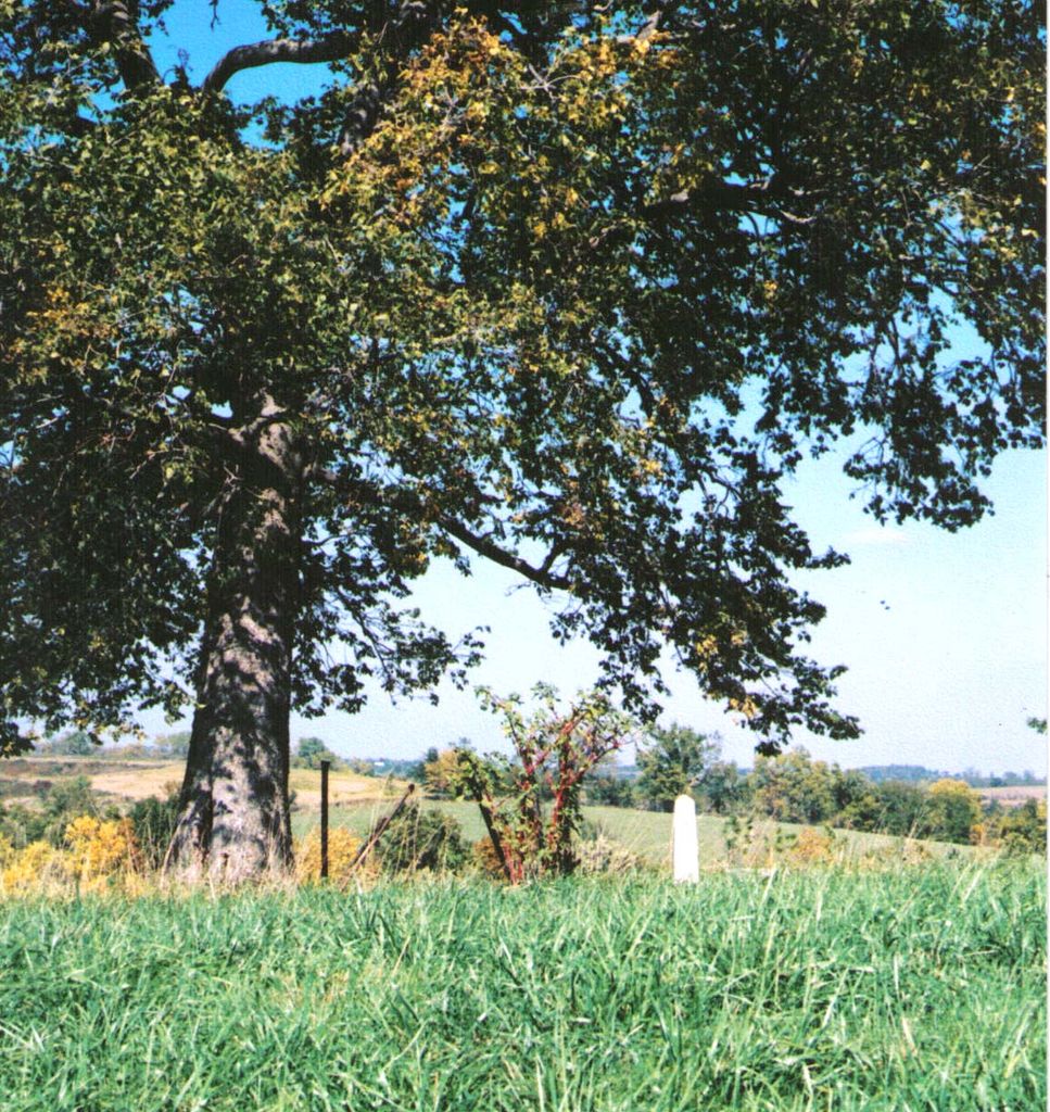
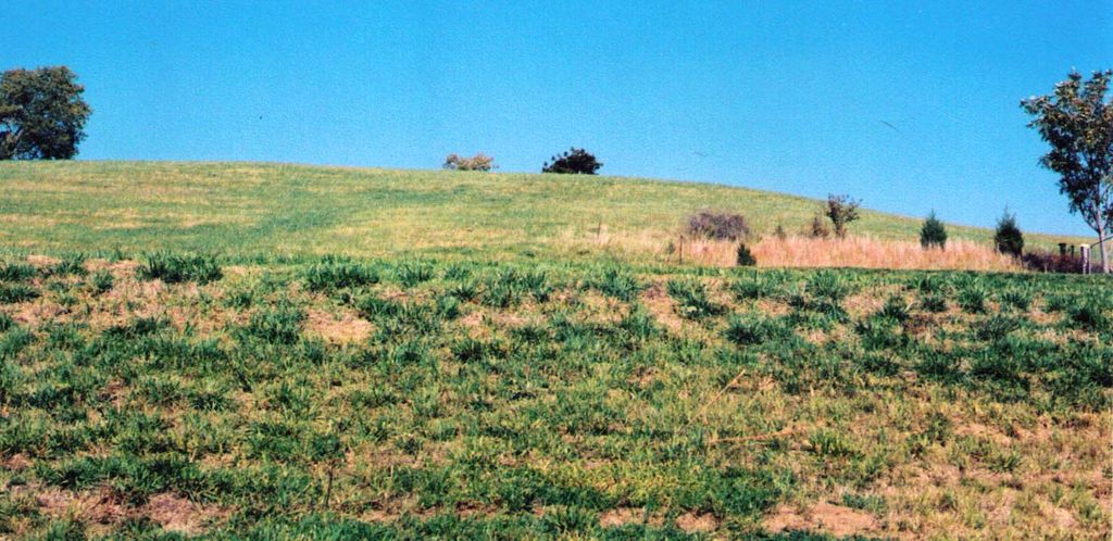
| Description | : | The hilltop cemetery overlooks the west side of small town of Fleming. A GPS reading taken at what is believed to be the midpoint of the cemetery gives these coordinates: Latitude: 39°11'41.03"N; Longitude: 94°3'12.70"W. The cemetery appears to lie mostly within the NW ¼ but may extend into the NE ¼ of the SW ¼, Section 28, Twp. 51, Range 28 in Camden Township, Ray County, Missouri. The farm property consists of 40 acres (plus or minus) located on the north side of Missouri Highway T. The cemetery itself is about 1/8th mile west of the point where Brady Creek... Read More |
frequently asked questions (FAQ):
-
Where is Smith-Jackson-Remley Cemetery?
Smith-Jackson-Remley Cemetery is located at Fleming, Ray County ,Missouri ,USA.
-
Smith-Jackson-Remley Cemetery cemetery's updated grave count on graveviews.com?
3 memorials
-
Where are the coordinates of the Smith-Jackson-Remley Cemetery?
Latitude: 39.1951500
Longitude: -94.0532100
Nearby Cemetories:
1. Camden City Cemetery
Camden, Ray County, USA
Coordinate: 39.1936700, -94.0470800
2. Happy Cemetery
Ray County, USA
Coordinate: 39.2121560, -94.0392570
3. Jackson Family Cemetery
Richmond, Ray County, USA
Coordinate: 39.2174030, -94.0568710
4. Brockman-Hudgeons Cemetery
Camden, Ray County, USA
Coordinate: 39.2153900, -94.0238700
5. Brasher Cemetery
Orrick, Ray County, USA
Coordinate: 39.2262573, -94.0856857
6. Cravens Cemetery
Camden, Ray County, USA
Coordinate: 39.2118988, -94.0014038
7. South Point Cemetery
Orrick, Ray County, USA
Coordinate: 39.2233009, -94.0978012
8. Dorton Cemetery
Orrick, Ray County, USA
Coordinate: 39.1960900, -94.1137100
9. Craig Cemetery
Richmond, Ray County, USA
Coordinate: 39.2452400, -94.0378800
10. Bates Cemetery
Ray County, USA
Coordinate: 39.2385200, -94.0892300
11. Lewis Cemetery
Orrick, Ray County, USA
Coordinate: 39.2386017, -94.0935974
12. Frazier Cemetery
Camden, Ray County, USA
Coordinate: 39.2236100, -93.9936100
13. New Hope Primitive Baptist Church and Cemetery
Bluffton, Ray County, USA
Coordinate: 39.2497220, -94.0433330
14. Thomas A. Brown Cemetery
Richmond, Ray County, USA
Coordinate: 39.2503300, -94.0654800
15. Cooper Cemetery
Richmond, Ray County, USA
Coordinate: 39.2248500, -93.9852400
16. Old Albany Cemetery
Orrick, Ray County, USA
Coordinate: 39.2265885, -94.1210713
17. Stokes Cemetery
Ray County, USA
Coordinate: 39.2270600, -94.1225900
18. Gordon Cemetery
Orrick, Ray County, USA
Coordinate: 39.2552986, -94.0871964
19. Saint Paul United Church of Christ Cemetery
Napoleon, Lafayette County, USA
Coordinate: 39.1304092, -94.0753021
20. Napoleon United Methodist Church Cemetery
Napoleon, Lafayette County, USA
Coordinate: 39.1299802, -94.0763417
21. Tucker-Gryder Cemetery
Richmond, Ray County, USA
Coordinate: 39.2411800, -94.1198700
22. Sunshine Cemetery
Richmond, Ray County, USA
Coordinate: 39.1611500, -93.9679000
23. King Cemetery
Richmond, Ray County, USA
Coordinate: 39.2400300, -93.9725100
24. Martin-Carr Cemetery
Wellington, Lafayette County, USA
Coordinate: 39.1306000, -93.9978027