| Memorials | : | 0 |
| Location | : | Richmond, Ray County, USA |
| Coordinate | : | 39.2503300, -94.0654800 |
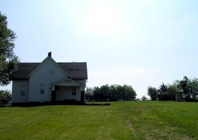
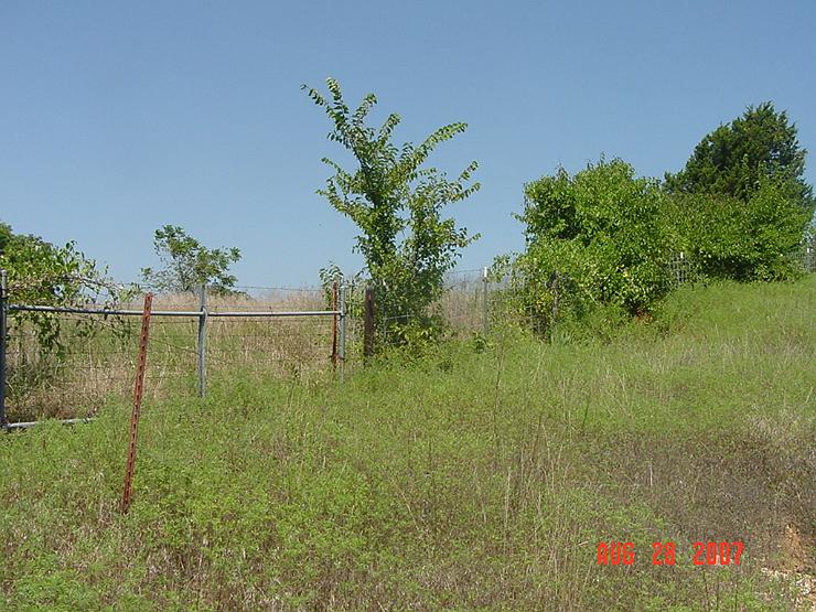
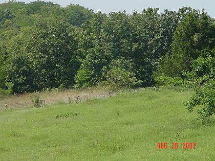
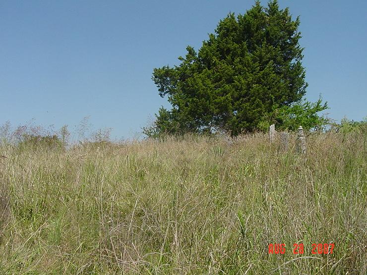
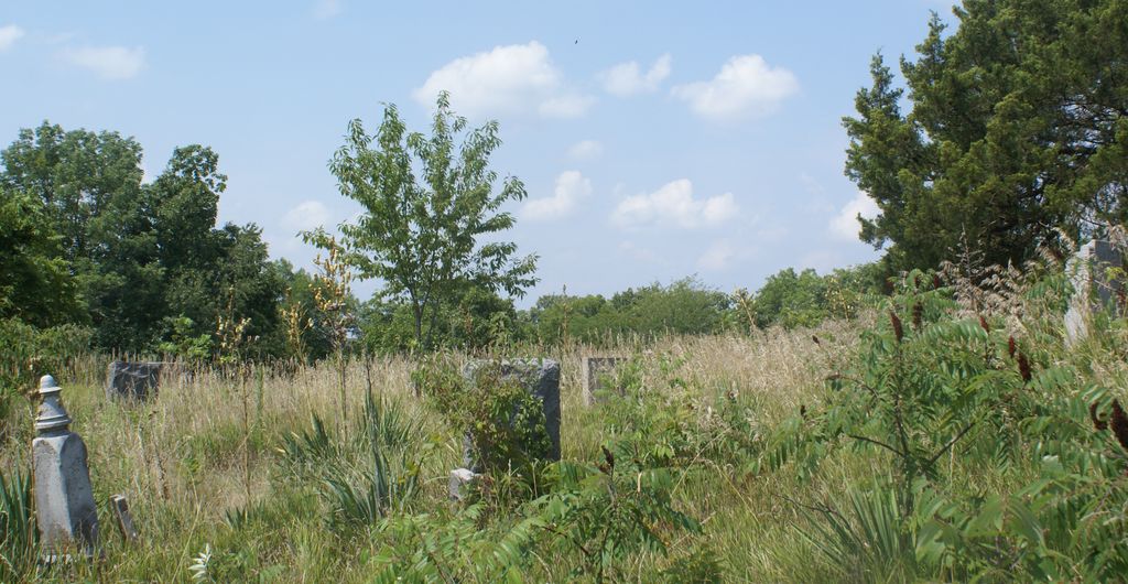
| Description | : | Located 6 miles west of Richmond, Missouri off EE Highway Road which joins Highway 10 and 210. It is on land known as the Thomas A. Brown farm. (1973) "The Brown Cemetery was started by Thomas Ashley Brown as a burial ground for his family and their descendants. Each family had a plot, and no charges were made for the grave plots. Family tradition says that Martha, the "blue baby" was the first burial. Daughter of Thomas Ashley and Martha "Patsy" Brown, she lived with her affliction for something like a year, longer than most "blue babies" of that day. For this... Read More |
frequently asked questions (FAQ):
-
Where is Thomas A. Brown Cemetery?
Thomas A. Brown Cemetery is located at Richmond, Ray County ,Missouri ,USA.
-
Thomas A. Brown Cemetery cemetery's updated grave count on graveviews.com?
0 memorials
-
Where are the coordinates of the Thomas A. Brown Cemetery?
Latitude: 39.2503300
Longitude: -94.0654800
Nearby Cemetories:
1. New Hope Primitive Baptist Church and Cemetery
Bluffton, Ray County, USA
Coordinate: 39.2497220, -94.0433330
2. Gordon Cemetery
Orrick, Ray County, USA
Coordinate: 39.2552986, -94.0871964
3. Bates Cemetery
Ray County, USA
Coordinate: 39.2385200, -94.0892300
4. Craig Cemetery
Richmond, Ray County, USA
Coordinate: 39.2452400, -94.0378800
5. Lewis Cemetery
Orrick, Ray County, USA
Coordinate: 39.2386017, -94.0935974
6. Covey Cemetery
Ray County, USA
Coordinate: 39.2702713, -94.0865707
7. JB Tombstone
Richmond, Ray County, USA
Coordinate: 39.2702713, -94.0865707
8. Brasher Cemetery
Orrick, Ray County, USA
Coordinate: 39.2262573, -94.0856857
9. Jackson Family Cemetery
Richmond, Ray County, USA
Coordinate: 39.2174030, -94.0568710
10. South Point Cemetery
Orrick, Ray County, USA
Coordinate: 39.2233009, -94.0978012
11. Presley Carter Family Cemetery
Richmond, Ray County, USA
Coordinate: 39.2796400, -94.0326300
12. Todds Chapel Cemetery
Richmond, Ray County, USA
Coordinate: 39.2864000, -94.0448000
13. Brand Family Cemetery
Richmond, Ray County, USA
Coordinate: 39.2864600, -94.0908800
14. Tucker-Gryder Cemetery
Richmond, Ray County, USA
Coordinate: 39.2411800, -94.1198700
15. Happy Cemetery
Ray County, USA
Coordinate: 39.2121560, -94.0392570
16. Brockman-Hudgeons Cemetery
Camden, Ray County, USA
Coordinate: 39.2153900, -94.0238700
17. Old Albany Cemetery
Orrick, Ray County, USA
Coordinate: 39.2265885, -94.1210713
18. Stokes Cemetery
Ray County, USA
Coordinate: 39.2270600, -94.1225900
19. Pettus Cemetery
Elkhorn, Ray County, USA
Coordinate: 39.2935982, -94.0988998
20. Cates Cemetery
Richmond, Ray County, USA
Coordinate: 39.2832900, -94.0076500
21. Smith-Jackson-Remley Cemetery
Fleming, Ray County, USA
Coordinate: 39.1951500, -94.0532100
22. Camden City Cemetery
Camden, Ray County, USA
Coordinate: 39.1936700, -94.0470800
23. Rock Falls Church Cemetery
Elkhorn, Ray County, USA
Coordinate: 39.2893500, -94.1221800
24. Rowland Cemetery
Ray County, USA
Coordinate: 39.2694016, -94.1389008

